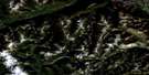
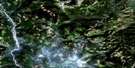
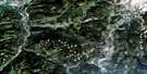
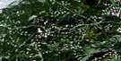
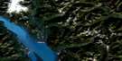
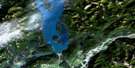
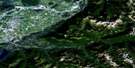
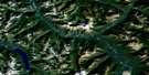
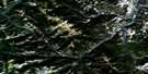
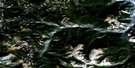
Boston Bar Satellite Image Map
Download Free Aerial Photo 092H14 at 1:50,000 scale
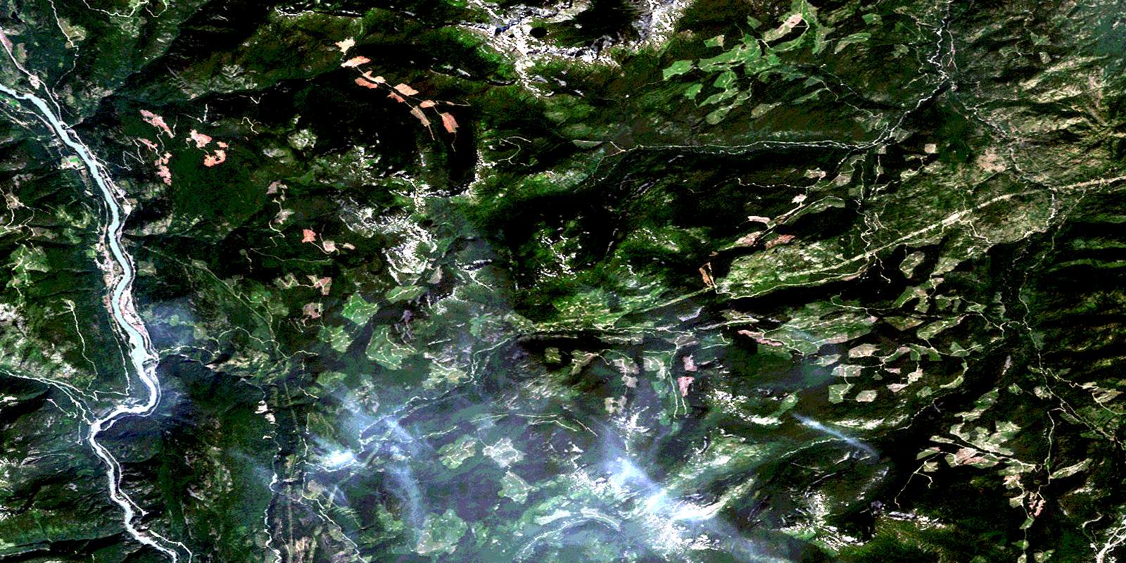
Boston Bar Satellite Imagery
To view this satellite map, mouse over the air photo on the right.
You can also download this satellite image map for free:
092H14 Boston Bar high-resolution satellite image map.
Maps for the Boston Bar aerial map sheet 092H14 at 1:50,000 scale are also available in these versions:
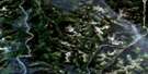
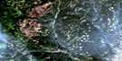
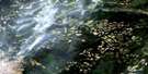
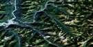
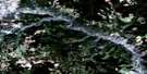
Boston Bar Surrounding Area Aerial Photo Maps
 |
 |
 |
 |
 |
 |
 |
 |
 |
 |
 |
 |
 |
 |
 |
 |
© Department of Natural Resources Canada. All rights reserved.
Boston Bar Gazetteer
The following places can be found on satellite image map 092H14 Boston Bar:
Boston Bar Satellite Image: Beaches
Boston BarBoston Bar Satellite Image: Indian Reserves
Austin's Flat Indian Reserve 3Boothroyd Indian Reserve 13
Boothroyd Indian Reserve 5A
Boothroyd Indian Reserve 5B
Boothroyd Indian Reserve 5C
Boothroyd Indian Reserve 6A
Boston Bar Indian Reserve 10
Boston Bar Indian Reserve 11
Boston Bar Indian Reserve 1A
Boston Bar Indian Reserve 8
Boston Bar Indian Reserve 9
Bucktum Indian Reserve 4
Chaumox Indian Reserve 11
Inkahtsaph Indian Reserve 6
Kahmoose Indian Reserve 4
Kopchitchin Indian Reserve 2
Paul's Indian Reserve 6
Réserve indienne Austin's Flat 3
Réserve indienne Boothroyd 13
Réserve indienne Boothroyd 5A
Réserve indienne Boothroyd 5B
Réserve indienne Boothroyd 5C
Réserve indienne Boothroyd 6A
Réserve indienne Boston Bar 10
Réserve indienne Boston Bar 11
Réserve indienne Boston Bar 1A
Réserve indienne Boston Bar 8
Réserve indienne Boston Bar 9
Réserve indienne Bucktum 4
Réserve indienne Chaumox 11
Réserve indienne Inkahtsaph 6
Réserve indienne Kahmoose 4
Réserve indienne Kopchitchin 2
Réserve indienne Paul's 6
Réserve indienne Sam Adams 12
Réserve indienne Scaucy 5
Réserve indienne Sho-ook 5
Réserve indienne Shrypttahooks 7
Réserve indienne Speyum 3
Réserve indienne Tsawawmuck 1
Réserve indienne Tsintahktl 2
Réserve indienne Tuckkwiowhum 1
Réserve indienne Yelakin 4A
Sam Adams Indian Reserve 12
Scaucy Indian Reserve 5
Sho-ook Indian Reserve 5
Shrypttahooks Indian Reserve 7
Speyum Indian Reserve 3
Tsawawmuck Indian Reserve 1
Tsintahktl Indian Reserve 2
Tuckkwiowhum Indian Reserve 1
Yelakin Indian Reserve 4A
Boston Bar Satellite Image: Lakes
Cabin LakeFishblue Lake
Lightning Lake
Murray Lake
Scuzzy Lake
Silver Lake
Boston Bar Satellite Image: Mountains
Cascade MountainsChaîne Côtière
Coast Mountains
Mount Stoyoma
Pacific Ranges
Stoyoma Mountain
Stoyoma Mountains
Boston Bar Satellite Image: Major municipal/district area - major agglomerations
Fraser Valley Regional DistrictRegional District of Fraser-Cheam
Boston Bar Satellite Image: Plains
Thompson PlateauBoston Bar Satellite Image: Rapids
Scuzzy RapidsBoston Bar Satellite Image: Rivers
Ainslie CreekAnderson River
Bottletop Creek
Brunswick Creek
Bucktum Creek
Buctum Creek
Busteed Creek
Coldwater River
Cosar Creek
East Anderson River
Fleuve Fraser
Fraser River
Gowen Creek
Hallecks Creek
Hallisey Creek
Jamieson Creek
Maka Creek
Nepopulchin Creek
Nine Mile Creek
Ninemile Creek
Petch Creek
Scuzzy Creek
Scuzzy River
Six Mile Creek
Speyum Creek
Spius Creek
Stoyoma Creek
Terence Creek
Tsileuh Creek
Uztlius Creek
Uztlius River
Boston Bar Satellite Image: Road features
China Bar TunnelFerrabee Tunnel
Hells Gate Tunnel
Boston Bar Satellite Image: Shoals
China BarBoston Bar Satellite Image: Unincorporated areas
AdesBoothroyd
Boston Bar
Canyon Alpine
Chaumox
China Bar
Gorge
Hells Gate
Hicks
Komo
Martinson
North Bend
Boston Bar Satellite Image: Valleys
Black CanyonHells Gate
© Department of Natural Resources Canada. All rights reserved.
092H Related Maps:
092H Hope092H01 Ashnola River
092H02 Manning Park
092H03 Skagit River
092H04 Chilliwack
092H05 Harrison Lake
092H06 Hope
092H07 Princeton
092H08 Hedley
092H09 Bankeir
092H10 Tulameen
092H11 Spuzzum
092H12 Mount Urquhart
092H13 Scuzzy Mountain
092H14 Boston Bar
092H15 Aspen Grove
092H16 Paradise Lake
