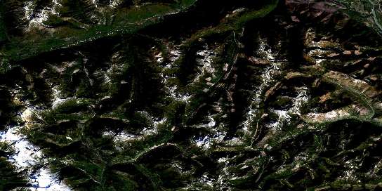
Scuzzy Mountain Satellite Imagery
To view this satellite map, mouse over the air photo on the right.
You can also download this satellite image map for free:
092H13 Scuzzy Mountain high-resolution satellite image map.
Maps for the Scuzzy Mountain aerial map sheet 092H13 at 1:50,000 scale are also available in these versions:
Scuzzy Mountain Surrounding Area Aerial Photo Maps
© Department of Natural Resources Canada. All rights reserved.
Scuzzy Mountain Gazetteer
The following places can be found on satellite image map 092H13 Scuzzy Mountain:
Scuzzy Mountain Satellite Image: Geographical areas
New Westminster Land DistrictYale Division Yale Land District
Scuzzy Mountain Satellite Image: Indian Reserves
Boothroyd Indian Reserve 5BBoothroyd Indian Reserve 6A
Inkahtsaph Indian Reserve 6
Réserve indienne Boothroyd 5B
Réserve indienne Boothroyd 6A
Réserve indienne Inkahtsaph 6
Scuzzy Mountain Satellite Image: Lakes
Nahatlatch LakeScuzzy Mountain Satellite Image: Mountains
Cairn NeedleCascade Mountains
Chaîne Côtière
Coast Mountains
Fraser Peak
Lillooet Range
Lillooet Ranges
Mount Laughlan
Mount McEwen
Mount Nesbitt
Mount Whistlepig
Nahatlatch Needle
Nipple Plateau
Pacific Ranges
Scuzzy Mountain
The Nipple
Two Squaws Mountain
Scuzzy Mountain Satellite Image: Major municipal/district area - major agglomerations
Fraser Valley Regional DistrictRegional District of Fraser-Cheam
Scuzzy Mountain Satellite Image: Conservation areas
Mehatl Creek ParkNahatlatch Park
Scuzzy Mountain Satellite Image: Rivers
Big Silver CreekButter Creek
Fleuve Fraser
Fraser River
Hunger Creek
Inkahtsaph Creek
Kookipi Creek
Mehatl Creek
Nahatlatch River
Nepopulchin Creek
Scuzzy Creek
Six Mile Creek
Speyum Creek
Squakum Creek
Tachewana Creek
Tsileuh Creek
Whistlepig Creek
© Department of Natural Resources Canada. All rights reserved.
092H Related Maps:
092H Hope092H01 Ashnola River
092H02 Manning Park
092H03 Skagit River
092H04 Chilliwack
092H05 Harrison Lake
092H06 Hope
092H07 Princeton
092H08 Hedley
092H09 Bankeir
092H10 Tulameen
092H11 Spuzzum
092H12 Mount Urquhart
092H13 Scuzzy Mountain
092H14 Boston Bar
092H15 Aspen Grove
092H16 Paradise Lake


