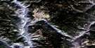
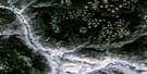
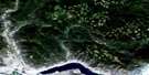
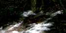
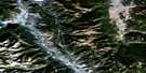
Douglas Lake Satellite Image Map
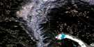
Download Free Aerial Photo 092I01 at 1:50,000 scale
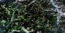
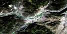
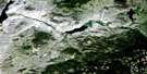
Douglas Lake Satellite Imagery
To view this satellite map, mouse over the air photo on the right.
You can also download this satellite image map for free:
092I01 Douglas Lake high-resolution satellite image map.
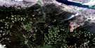
Maps for the Douglas Lake aerial map sheet 092I01 at 1:50,000 scale are also available in these versions:
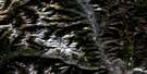
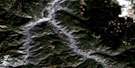
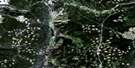
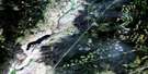
Douglas Lake Surrounding Area Aerial Photo Maps
 |
 |
 |
 |
 |
 |
 |
 |
 |
 |
 |
 |
 |
 |
 |
 |
© Department of Natural Resources Canada. All rights reserved.
Douglas Lake Gazetteer
The following places can be found on satellite image map 092I01 Douglas Lake:
Douglas Lake Satellite Image: Bays
Mud BayPridham Bay
Slaughter Bay
Douglas Lake Satellite Image: Capes
Milwaukee PointDouglas Lake Satellite Image: Indian Reserves
Chapperon Creek Indian Reserve 6Chapperon Lake Indian Reserve 5
Douglas Lake Indian Reserve 3
Nicola Lake Indian Reserve 1
Réserve indienne Chapperon Creek 6
Réserve indienne Chapperon Lake 5
Réserve indienne Douglas Lake 3
Réserve indienne Nicola Lake 1
Réserve indienne Spahomin Creek 4
Réserve indienne Spahomin Creek 8
Spahomin Creek Indian Reserve 4
Spahomin Creek Indian Reserve 8
Douglas Lake Satellite Image: Islands
Belle IslandBurnt Island
Lee Island
Mitzi Island
Douglas Lake Satellite Image: Lakes
Chapperon LakeDorothy Lake
Douglas Lake
Glimpse Lake
Index Lake
Jacks Lake
Jackson Lake
Kame Lakes
Lake of the Woods
Little Pennask Lake
Mellin Lake
Minnie Lake
Nauchachapt Lake
Nicola Lake
Pefferle Lake
Pennask Lake
Pikehead Lake
Rat Lake
Rock Lake
Rouse Lake
Rush Lake
Salt Lake
Sanctuary Lake
Spahomin Lake
Wasley Lake
Douglas Lake Satellite Image: Mountains
Meander HillsMount Hamilton
Douglas Lake Satellite Image: Plains
Thompson PlateauDouglas Lake Satellite Image: Rivers
Berry CreekBlind Creek
Burr Creek
Chapperon Creek
Douglas Creek
Frank Ward Creek
Frankward Creek
Howse Creek
Jack Douglas Creek
Kame Creek
Klup Creek
Lauder Creek
Mellin Creek
Moore Creek
Quilchena Creek
Range Creek
Robb Creek
Spahomin Creek
Stumplake Creek
Wasley Creek
Douglas Lake Satellite Image: Unincorporated areas
Douglas Lake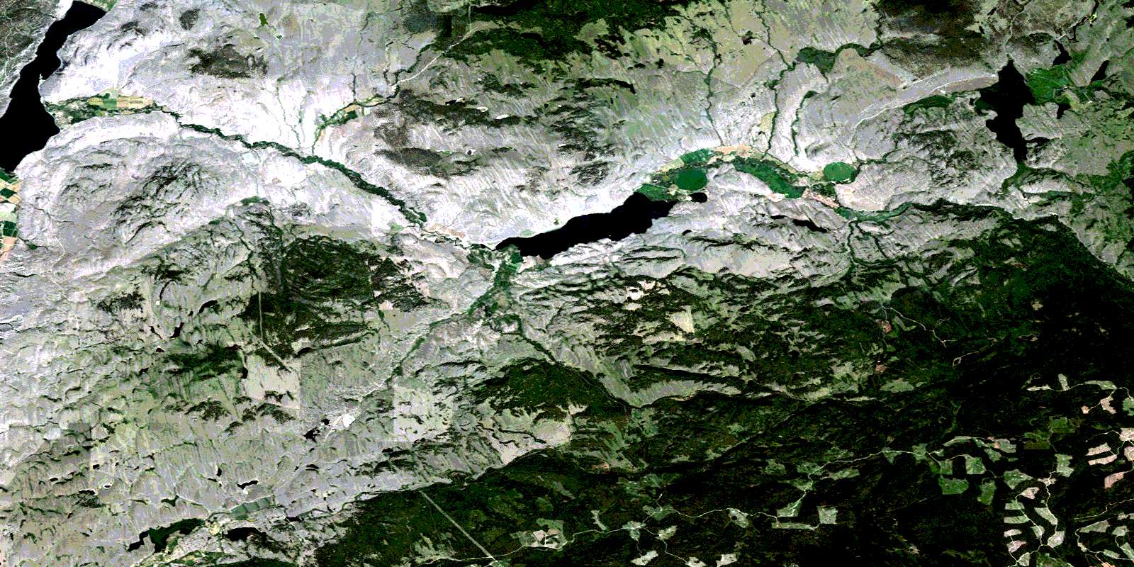
© Department of Natural Resources Canada. All rights reserved.
092I Related Maps:
092I Ashcroft092I01 Douglas Lake
092I02 Merritt
092I03 Prospect Creek
092I04 Lytton
092I05 Stein River
092I06 Spences Bridge
092I07 Mamit Lake
092I08 Stump Lake
092I09 Kamloops
092I10 Cherry Creek
092I11 Ashcroft
092I12 Lillooet
092I13 Pavilion
092I14 Cache Creek
092I15 Tranquille River
092I16 Heffley Creek
