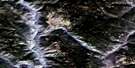
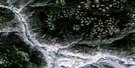
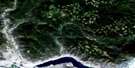
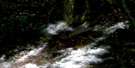
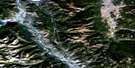
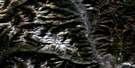
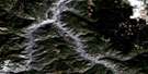
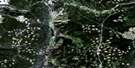
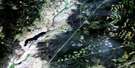
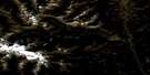
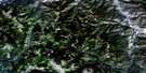
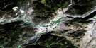
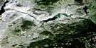
Cherry Creek Satellite Image Map
Download Free Aerial Photo 092I10 at 1:50,000 scale
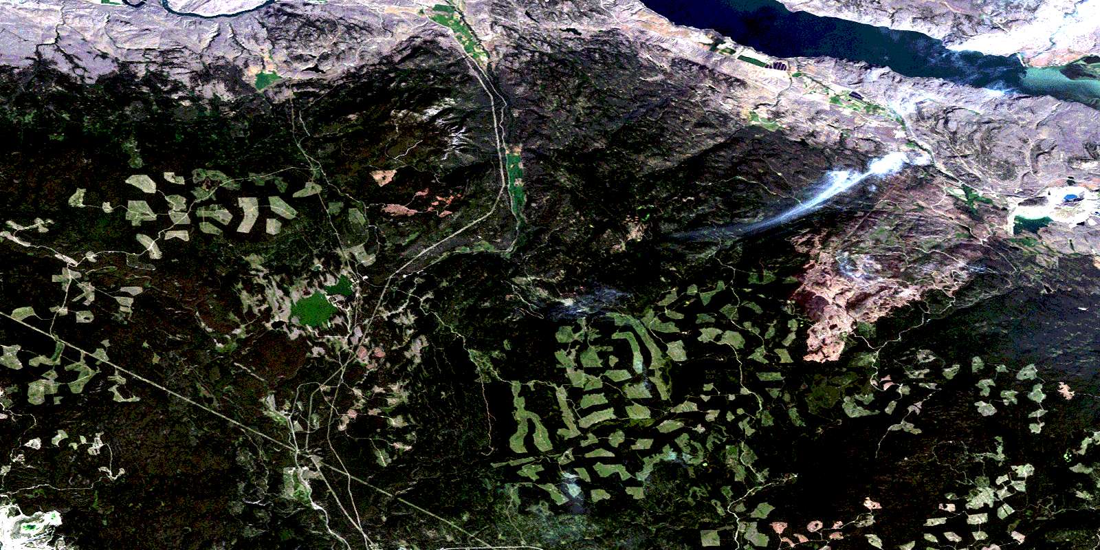
Cherry Creek Satellite Imagery
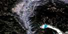
To view this satellite map, mouse over the air photo on the right.
You can also download this satellite image map for free:
092I10 Cherry Creek high-resolution satellite image map.
Maps for the Cherry Creek aerial map sheet 092I10 at 1:50,000 scale are also available in these versions:
Cherry Creek Surrounding Area Aerial Photo Maps
 |
 |
 |
 |
 |
 |
 |
 |
 |
 |
 |
 |
 |
 |
 |
 |
© Department of Natural Resources Canada. All rights reserved.
Cherry Creek Gazetteer
The following places can be found on satellite image map 092I10 Cherry Creek:
Cherry Creek Satellite Image: Bays
Cooney BaySmith Cove
Cherry Creek Satellite Image: Cliffs
Battle BluffCherry Bluff
Cherry Creek Satellite Image: Indian Reserves
Deadman's Creek Indian ReserveRéserve indienne Deadman's Creek
Réserve indienne Skeetchestn
Skeetchestn Indian Reserve
Cherry Creek Satellite Image: Lakes
Alga PondAndrew Lake
Beaton Lake
Bose Lake
Brussels Lake
Bull Lake
Chuwhels Lake
Connolly Lake
Cornwall Lake
Dairy Lake
Dairy Lakes
Dominic Lake
Duffy Lake
Durand Lake
East Dairy Lake
Eureka Lake
Face Lake
Fehr Lake
Gilbert Lake
Grace Lake
Hughes Lake
Ice Lake
Kamloops Lake
Kwilalkwila Lake
Leighton Lake
Lodgepole Lake
Melba Lake
Ned Roberts Lake
Paska Lake
Pat Lake
Roper Lake
Salsola Pond
Saltwort Pond
Small Dairy Lake
Tunkwa Lake
Ware Lake
Wyse Lakes
Cherry Creek Satellite Image: Mountains
Bose HillChuwhels Mountain
Greenstone Mountain
Mount Anne
Mount Durand
Mount Fehr
Mount Savona
Roper Hill
Six Mile Hill
Cherry Creek Satellite Image: Conservation areas
Greenstone Mountain ParkMount Savona Park
Tunkwa Park
Walhachin Oxbows Park
Cherry Creek Satellite Image: Plains
Thompson PlateauCherry Creek Satellite Image: Rivers
Alkali CreekAxe Creek
Beaton Creek
Brussels Creek
Chartrand Creek
Cherry Creek
Deadman River
Doherty Creek
Duffy Creek
Durand Creek
East Melba Creek
Ferguson Creek
Forge Creek
Greenstone Creek
Guichon Creek
Hay Brook
Indian Garden Creek
Jimmies Creek
Kwilalkwila Creek
Melba Creek
Morrison Creek
Ned Roberts Creek
Pendleton Creek
Peterson Creek
Thompson River
Tranquille River
Tunkwa Creek
Upper Ranch Creek
Walloper Creek
Cherry Creek Satellite Image: Unincorporated areas
Cherry CreekFrederick
Munro
Six Mile Ranch
Tobiano
Tranquille
Tranquille
© Department of Natural Resources Canada. All rights reserved.
092I Related Maps:
092I Ashcroft092I01 Douglas Lake
092I02 Merritt
092I03 Prospect Creek
092I04 Lytton
092I05 Stein River
092I06 Spences Bridge
092I07 Mamit Lake
092I08 Stump Lake
092I09 Kamloops
092I10 Cherry Creek
092I11 Ashcroft
092I12 Lillooet
092I13 Pavilion
092I14 Cache Creek
092I15 Tranquille River
092I16 Heffley Creek
