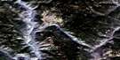
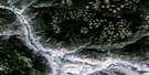
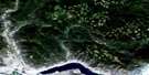
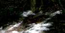
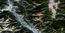
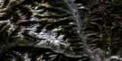
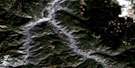
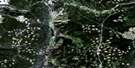
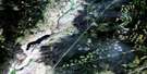
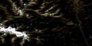
Prospect Creek Satellite Image Map
Download Free Aerial Photo 092I03 at 1:50,000 scale
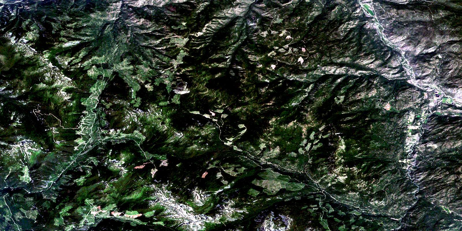
Prospect Creek Satellite Imagery
To view this satellite map, mouse over the air photo on the right.
You can also download this satellite image map for free:
092I03 Prospect Creek high-resolution satellite image map.
Maps for the Prospect Creek aerial map sheet 092I03 at 1:50,000 scale are also available in these versions:
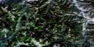
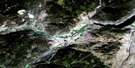
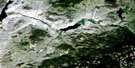
Prospect Creek Surrounding Area Aerial Photo Maps
 |
 |
 |
 |
 |
 |
 |
 |
 |
 |
 |
 |
 |
 |
 |
 |
© Department of Natural Resources Canada. All rights reserved.
Prospect Creek Gazetteer
The following places can be found on satellite image map 092I03 Prospect Creek:
Prospect Creek Satellite Image: Indian Reserves
Boothroyd Indian Reserve 6ANooaitch Grass Indian Reserve 9
Nooaitch Indian Reserve 10
Réserve indienne Boothroyd 6A
Réserve indienne Nooaitch 10
Réserve indienne Nooaitch Grass 9
Réserve indienne Speous 8
Speous Indian Reserve 8
Prospect Creek Satellite Image: Mountains
Cascade MountainsJackass Mountain
Kanaka Mountain
Lytton Mountains
Mimenuh Mountain
Mount Hewitt Bostock
Mount Lytton
Pulpit Rock
Zakwaski Mountain
Prospect Creek Satellite Image: Major municipal/district area - major agglomerations
Fraser Valley Regional DistrictRegional District of Fraser-Cheam
Prospect Creek Satellite Image: Plains
Nicoamen PlateauThompson Plateau
Prospect Creek Satellite Image: Rivers
Abbott CreekAgate Creek
August Creek
Bar Creek
Barrie Creek
Dud Creek
Edgar Creek
Gladwin Creek
Gordon Creek
Hendy Creek
Jack Swart Creek
Jackswart Creek
James Creek
Lytton Creek
Maka Creek
Manning Creek
Mowhokam Creek
Nicoamen River
Nicola River
Nuaitch Creek
Petit Creek
Platt Creek
Poison Creek
Powers Creek
Prospect Creek
Richardson Creek
Roberts Creek
Saatin Creek
Shackelly Creek
Shakan Creek
Silk Creek
Sinclair Creek
Siska Creek
Siwash Creek
Spius Creek
Teepee Creek
Tent Creek
Thompson River
Walden Creek
Waterfall Creek
Wolden Creek
Prospect Creek Satellite Image: Unincorporated areas
CanfordDot
Prospect Creek Satellite Image: Valleys
Cowhead PassPole Gulch
Prospect Valley
Sunshine Valley
© Department of Natural Resources Canada. All rights reserved.
092I Related Maps:
092I Ashcroft092I01 Douglas Lake
092I02 Merritt
092I03 Prospect Creek
092I04 Lytton
092I05 Stein River
092I06 Spences Bridge
092I07 Mamit Lake
092I08 Stump Lake
092I09 Kamloops
092I10 Cherry Creek
092I11 Ashcroft
092I12 Lillooet
092I13 Pavilion
092I14 Cache Creek
092I15 Tranquille River
092I16 Heffley Creek
