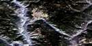
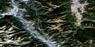
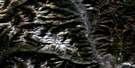
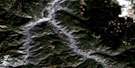
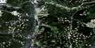
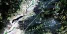
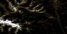
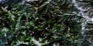
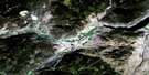
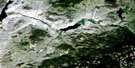
Heffley Creek Satellite Image Map
Download Free Aerial Photo 092I16 at 1:50,000 scale
Heffley Creek Satellite Imagery
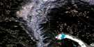
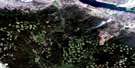
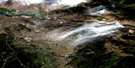
To view this satellite map, mouse over the air photo on the right.
You can also download this satellite image map for free:
092I16 Heffley Creek high-resolution satellite image map.
Maps for the Heffley Creek aerial map sheet 092I16 at 1:50,000 scale are also available in these versions:
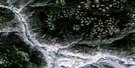
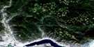
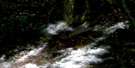
Heffley Creek Surrounding Area Aerial Photo Maps
 |
 |
 |
 |
 |
 |
 |
 |
 |
 |
 |
 |
 |
 |
 |
 |
© Department of Natural Resources Canada. All rights reserved.
Heffley Creek Gazetteer
The following places can be found on satellite image map 092I16 Heffley Creek:
Heffley Creek Satellite Image: Indian Reserves
Kamloops Indian Reserve 1Kamloops Indian Reserve 5
Réserve indienne Kamloops 1
Réserve indienne Kamloops 5
Réserve indienne Whispering Pines 4
Whispering Pines Indian Reserve 4
Heffley Creek Satellite Image: Lakes
Andy LakeBob Creek
Brown Lake
Community Lake
Devick Lake
Griffin Lake
Heffley Lake
Huff Lake
Inskip Lake
Isobel Lake
Knouff Lake
Lac du Bois
Little Heffley Lake
Long Lake
Louis Lake
Lyons Lake
McQueen Lake
Noble Lake
O'Connor Lake
Orchard Lake
Pass Lake
Richardson Lake
Silentpool Lake
Sullivan Lake
Wentworth Lake
Heffley Creek Satellite Image: Mountains
Batchelor RangeDome Hills
Jamieson Range
Mount Fleet
Mount Hyde
Mount Knouff
Mount Lolo
Mount Wheeler
Opax Hill
Shuswap Highland
Silwhoiakun Mountain
Strawberry Hill
Sullivan Range
Heffley Creek Satellite Image: Major municipal/district area - major agglomerations
Thompson-Nicola Regional DistrictHeffley Creek Satellite Image: Conservation areas
Lac du Bois Grasslands ParkNorth Thompson Oxbows Jensen Island Park
Paul Lake Park
Heffley Creek Satellite Image: Plains
Thompson PlateauHeffley Creek Satellite Image: Rivers
Armour CreekCahilty Creek
Charles Lee Creek
Christian Creek
Cold Creek
Community Creek
Dairy Creek
Dans Creek
Devick Creek
Edwards Creek
Graham Creek
Heffley Creek
Jamieson Creek
Knouff Creek
Lanes Creek
Lloyd Creek
Louis Creek
McCauley Creek
McKnight Creek
McQueen Creek
Mossey Creek
North Thompson River
Paling Creek
Robbins Creek
Rushton Creek
Seven O Creek
Stuart Creek
Venn Creek
Watching Creek
Wentworth Creek
Williams Creek
Zink Creek
Heffley Creek Satellite Image: Unincorporated areas
Black PinesCahilty
Heffley
Heffley Creek
Knouff Creek
Knouff Lake
Ramage
Rayleigh
Rayleigh Mount
Vinsulla
Westsyde
Heffley Creek Satellite Image: Valleys
Blue Ravine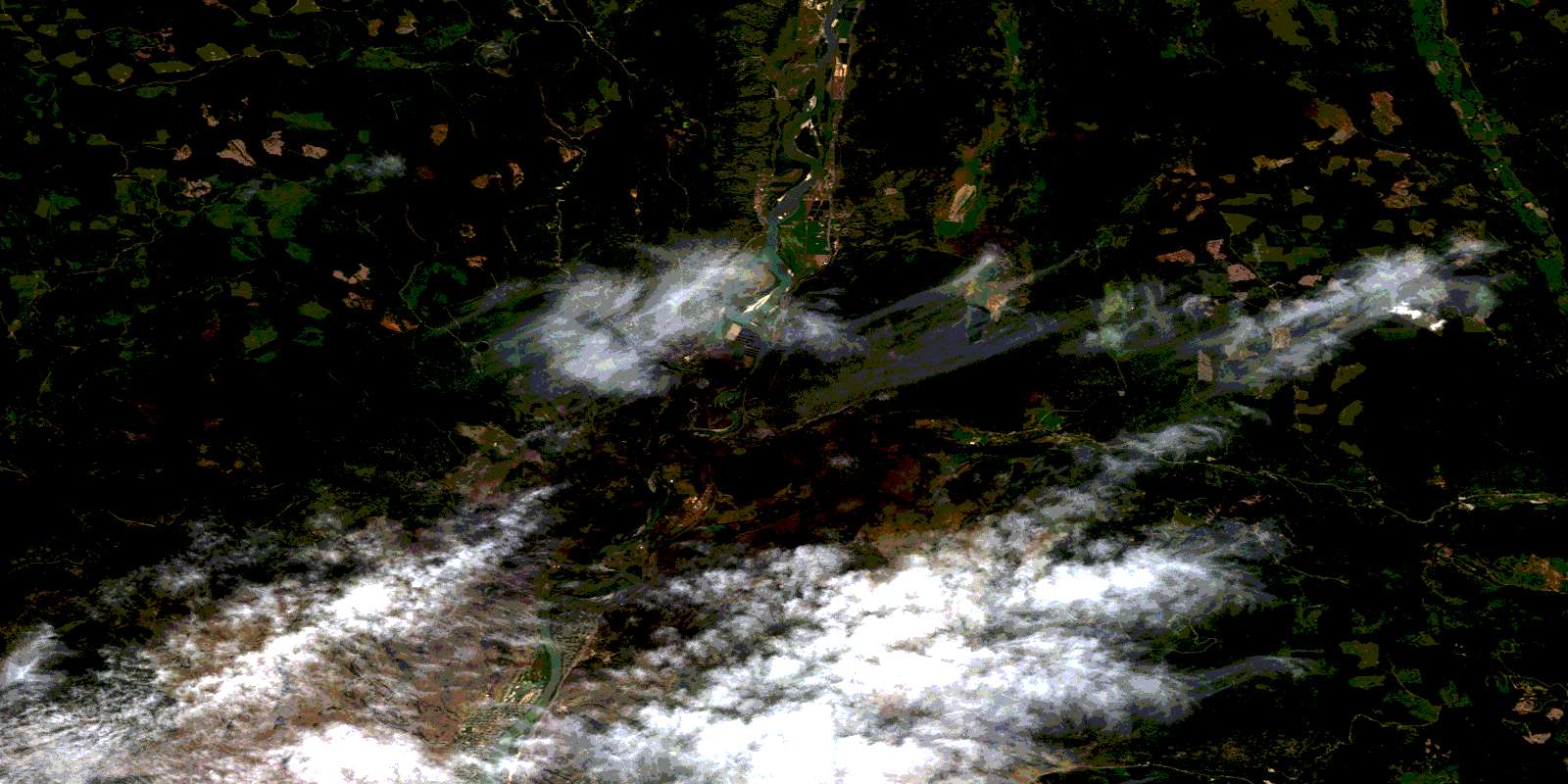
© Department of Natural Resources Canada. All rights reserved.
092I Related Maps:
092I Ashcroft092I01 Douglas Lake
092I02 Merritt
092I03 Prospect Creek
092I04 Lytton
092I05 Stein River
092I06 Spences Bridge
092I07 Mamit Lake
092I08 Stump Lake
092I09 Kamloops
092I10 Cherry Creek
092I11 Ashcroft
092I12 Lillooet
092I13 Pavilion
092I14 Cache Creek
092I15 Tranquille River
092I16 Heffley Creek
