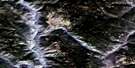
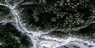
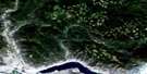
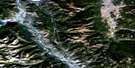
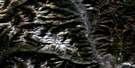
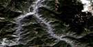
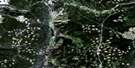
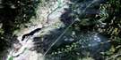
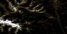
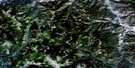
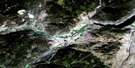
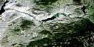
Cache Creek Satellite Image Map
Download Free Aerial Photo 092I14 at 1:50,000 scale
Cache Creek Satellite Imagery
To view this satellite map, mouse over the air photo on the right.
You can also download this satellite image map for free:
092I14 Cache Creek high-resolution satellite image map.
Maps for the Cache Creek aerial map sheet 092I14 at 1:50,000 scale are also available in these versions:
Cache Creek Surrounding Area Aerial Photo Maps
 |
 |
 |
 |
 |
 |
 |
 |
 |
 |
 |
 |
 |
 |
 |
 |
© Department of Natural Resources Canada. All rights reserved.
Cache Creek Gazetteer
The following places can be found on satellite image map 092I14 Cache Creek:
Cache Creek Satellite Image: Indian Reserves
105 Mile Post Indian Reserve 2Bonaparte Indian Reserve 3
Deadman's Creek Indian Reserve
Grasslands Indian Reserve 7
Lower Hat Creek Indian Reserve 2
Mauvais Rocher Indian Reserve 5
McLean's Lake Indian Reserve 3
Réserve indienne 105 Mile Post 2
Réserve indienne Bonaparte 3
Réserve indienne Deadman's Creek
Réserve indienne Grasslands 7
Réserve indienne Lower Hat Creek 2
Réserve indienne Mauvais Rocher 5
Réserve indienne McLean's Lake 3
Réserve indienne Skeetchestn
Skeetchestn Indian Reserve
Cache Creek Satellite Image: Lakes
Brousseau LakeClemes Lake
Cultus Lake
Gallagher Lakes
McLean Lake
Stinking Lake
Tsotin Lake
Veasy Lake
Cache Creek Satellite Image: Mountains
Arrowstone HillsCache Creek Hills
Campbell Hill
Elephant Hill
Hart Ridge
Rattlesnake Hill
Trachyte Hills
Cache Creek Satellite Image: Conservation areas
Arrowstone ParkElephant Hill Park
Juniper Beach Park
Cache Creek Satellite Image: Plains
Boston FlatsThompson Plateau
Cache Creek Satellite Image: Rivers
Arrowstone CreekAshcroft Creek
Barricade Creek
Battle Creek
Bonaparte River
Cache Creek
Charette Creek
Chrome Creek
Clemes Creek
Cornwall Creek
Gallagher Creek
Gorge Creek
Hat Creek
Lopez Creek
MacLaren Creek
Maiden Creek
Medicine Creek
Pioneer Creek
Scottie Creek
Silverspring Creek
Thompson River
Tsotin Creek
Cache Creek Satellite Image: Unincorporated areas
AngleseyBoston Flats
Carquile
Maharg
McAbee
Semlin
Cache Creek Satellite Image: Valleys
Brassy GulchCattle Valley
Edward Gulch
Pass Valley
Semlin Valley
Cache Creek Satellite Image: Villages
Cache Creek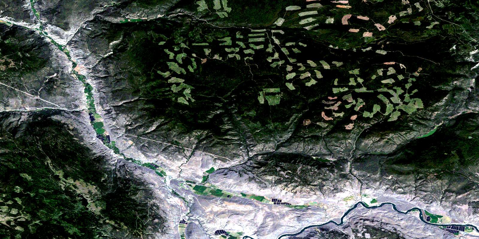
© Department of Natural Resources Canada. All rights reserved.
092I Related Maps:
092I Ashcroft092I01 Douglas Lake
092I02 Merritt
092I03 Prospect Creek
092I04 Lytton
092I05 Stein River
092I06 Spences Bridge
092I07 Mamit Lake
092I08 Stump Lake
092I09 Kamloops
092I10 Cherry Creek
092I11 Ashcroft
092I12 Lillooet
092I13 Pavilion
092I14 Cache Creek
092I15 Tranquille River
092I16 Heffley Creek
