Ashcroft Satellite Image Map
Download Free Aerial Photo 092I11 at 1:50,000 scale
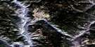
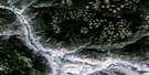
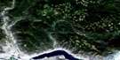
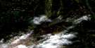
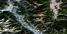
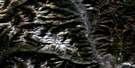
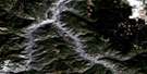
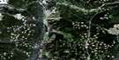
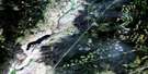
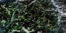
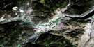
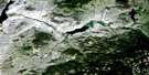
Ashcroft Satellite Imagery
To view this satellite map, mouse over the air photo on the right.
You can also download this satellite image map for free:
092I11 Ashcroft high-resolution satellite image map.
Maps for the Ashcroft aerial map sheet 092I11 at 1:50,000 scale are also available in these versions:
Ashcroft Surrounding Area Aerial Photo Maps
 |
 |
 |
 |
 |
 |
 |
 |
 |
 |
 |
 |
 |
 |
 |
 |
© Department of Natural Resources Canada. All rights reserved.
Ashcroft Gazetteer
The following places can be found on satellite image map 092I11 Ashcroft:
Ashcroft Satellite Image: Indian Reserves
105 Mile Post Indian Reserve 2Ashcroft Indian Reserve 4
Basque Indian Reserve 18
Basque Indian Reserve 18
Cheetsum's Farm Indian Reserve 1
Hay Meadow Indian Reserve 1
Nicoelton Indian Reserve 6
Oregon Jack Creek Indian Reserve 2
Oregon Jack Creek Indian Reserve 3
Oregon Jack Creek Indian Reserve 5
Pemynoos Indian Reserve 9
Peq-Paq 22
Peq-paq Indian Reserve 22
Pokheitsk Indian Reserve 10
Réserve indienne 105 Mile Post 2
Réserve indienne Ashcroft 4
Réserve indienne Basque 18
Réserve indienne Cheetsum's Farm 1
Réserve indienne Hay Meadow 1
Réserve indienne Nicoelton 6
Réserve indienne Oregon Jack Creek 2
Réserve indienne Oregon Jack Creek 3
Réserve indienne Oregon Jack Creek 5
Réserve indienne Pemynoos 9
Réserve indienne Peq-paq 22
Réserve indienne Pokheitsk 10
Réserve indienne Shpapzchinh 20
Réserve indienne South Nepa 7
Réserve indienne Spatsum 11
Réserve indienne Spatsum 11A
Réserve indienne Upper Nepa 6
Réserve indienne Upper Tsinkahtl 8A
Shpapzchinh Indian Reserve 20
South Nepa Indian Reserve 7
Spatsum Indian Reserve 11
Spatsum Indian Reserve 11A
Upper Nepa Indian Reserve 6
Upper Tsinkahtl Indian Reserve 8A
Ashcroft Satellite Image: Lakes
Barnes LakeBig Divide Lake
Blue Earth Lake
Jim Black Lake
Nesbitt Lake
Pennie Lake
Separating Lake
Twaal Lake
Twentyfour Mile Lake
Twin Lakes
Venables Lake
Willard Lake
Ashcroft Satellite Image: Mountains
Cinder HillCornwall Hills
Forge Mountain
Glossy Mountain
Lookout Point
Nicoelton Mountain
Oregon Jack Hill
Red Hill
South Forge Mountain
White Mountain
Ashcroft Satellite Image: Conservation areas
Bedard Aspen ParkBlue Earth Lake Park
Cornwall Hills Park
Elephant Hill Park
Epsom Park
Oregon Jack Park
Ashcroft Satellite Image: Plains
Boston FlatsThompson Plateau
Ashcroft Satellite Image: Rivers
Ambusten CreekAshcroft Creek
Barnard Creek
Barnes Creek
Blue Earth Creek
Bonaparte River
Boyes Creek
Burr Creek
Cheetsum Creek
Coldstream Creek
Cornwall Creek
East Murray Creek
Forge Creek
Guichon Creek
Hume Creek
Klootchville Creek
Lone Tree Creek
Medicine Creek
Minaberriet Creek
Oregon Jack Creek
Puckett Creek
Pukaist Creek
Spatsum Creek
Spence Creek
Studhorse Creek
Thompson River
Three Sisters Creek
Tremont Creek
Twaal Creek
Venables Creek
Woods Creek
Ashcroft Satellite Image: Unincorporated areas
AbrahamsonBasque
Epsom
Munroe
Nepa
Spatsum
Toketic
Ashcroft Satellite Image: Valleys
Black CanyonBrassy Gulch
Venables Valley
Ashcroft Satellite Image: Villages
Ashcroft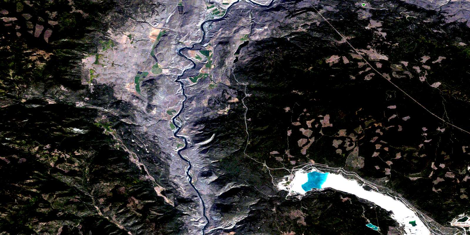
© Department of Natural Resources Canada. All rights reserved.
092I Related Maps:
092I Ashcroft092I01 Douglas Lake
092I02 Merritt
092I03 Prospect Creek
092I04 Lytton
092I05 Stein River
092I06 Spences Bridge
092I07 Mamit Lake
092I08 Stump Lake
092I09 Kamloops
092I10 Cherry Creek
092I11 Ashcroft
092I12 Lillooet
092I13 Pavilion
092I14 Cache Creek
092I15 Tranquille River
092I16 Heffley Creek
