Canada Topographic Maps

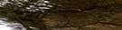
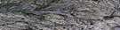
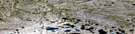
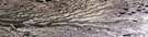
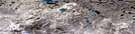
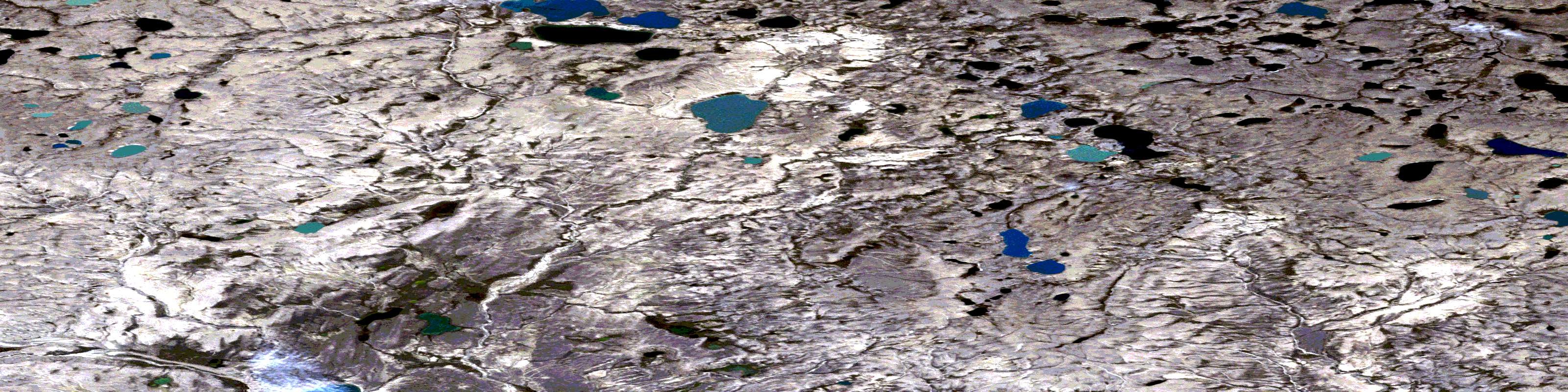
No Title Satellite Image Map

Download Free Aerial Photo 097H10 at 1:50,000 scale

No Title Satellite Imagery

To view this satellite map, mouse over the air photo on the right.

You can also download this satellite image map for free:
097H10 No Title high-resolution satellite image map.

Maps for the No Title aerial map sheet 097H10 at 1:50,000 scale are also available in these versions:

  1. Buy Digital Topo Maps on Data-DVD
  2. Buy Waterproof Topographic Map
  3. Buy Topographic Paper Map
  4. Free Digital Topo Map

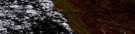
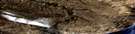
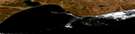
No Title Surrounding Area Aerial Photo Maps

097H13 Capron Lake Aerial Satellite Photo Thumbnail 097H14 No Title Aerial Satellite Photo Thumbnail 097H15 No Title Aerial Satellite Photo Thumbnail 097H16 Schuyter Point Aerial Satellite Photo Thumbnail
097H12 Raddi Lake Aerial Satellite Photo Thumbnail 097H11 Hoagak Lake Aerial Satellite Photo Thumbnail 097H10 No Title Aerial Satellite Photo Thumbnail 097H09 Nokaluk River Aerial Satellite Photo Thumbnail
097H05 Rufus River Aerial Satellite Photo Thumbnail 097H06 Cape Collinson Aerial Satellite Photo Thumbnail 097H07 Cape Cardwell Aerial Satellite Photo Thumbnail 097H08 No Title Aerial Satellite Photo Thumbnail
097H04 Cape Lambton Aerial Satellite Photo Thumbnail 097H03 Nelson Head Aerial Satellite Photo Thumbnail
© Department of Natural Resources Canada. All rights reserved.

No Title Gazetteer

The following places can be found on satellite image map 097H10 No Title:

No Title Satellite Image: Islands

Banks Island

No Title Satellite Image: Lakes

Windrum Lagoon

No Title Satellite Image: Rivers

Big River
Cardwell Brook
De Salis River
Kellett River
Palgrave River
Pass Brook

No Title Satellite Image: Territory

Northwest Territories
Territoires du Nord-Ouest
Air photo: No Title Satellite Image map 097H10 at 1:50,000 Scale
© Department of Natural Resources Canada. All rights reserved.
 
Buy Topographic Maps DVD
Newsletter Sign-up

Yes, I want to receive map store discounts.


Bookmark and Share