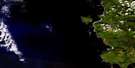
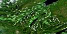
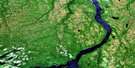
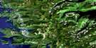
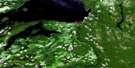
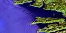
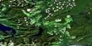
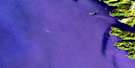
Cartwright Sound Satellite Image Map
Download Free Aerial Photo 103F02 at 1:50,000 scale
Cartwright Sound Satellite Imagery
To view this satellite map, mouse over the air photo on the right.
You can also download this satellite image map for free:
103F02 Cartwright Sound high-resolution satellite image map.
Maps for the Cartwright Sound aerial map sheet 103F02 at 1:50,000 scale are also available in these versions:
Cartwright Sound Surrounding Area Aerial Photo Maps
 |
 |
 |
|
 |
 |
||
 |
 |
||
 |
 |
© Department of Natural Resources Canada. All rights reserved.
Cartwright Sound Gazetteer
The following places can be found on satellite image map 103F02 Cartwright Sound:
Cartwright Sound Satellite Image: Bays
Dawson InletGudal Bay
Kitgoro Inlet
Tana Bay
Cartwright Sound Satellite Image: Capes
Buck PointElls Point
Kitgoro Point
Mercer Point
Stiu Point
Tana Point
Tcenakun Point
Van Point
Cartwright Sound Satellite Image: Channels
Buck ChannelCartwright Sound
Skidegate Channel
Cartwright Sound Satellite Image: Islands
Chaatl IslandGraham Island
Îles de la Reine-Charlotte
Marble Island
Moresby Island
Queen Charlotte Islands
Cartwright Sound Satellite Image: Mountains
Mount La PerouseMount La Pérouse
Queen Charlotte Mountains
Cartwright Sound Satellite Image: Rivers
Gudal CreekCartwright Sound Satellite Image: Shoals
Gagi RockMarble Rock
Stiu Rock
Cartwright Sound Satellite Image: Unincorporated areas
Chaatl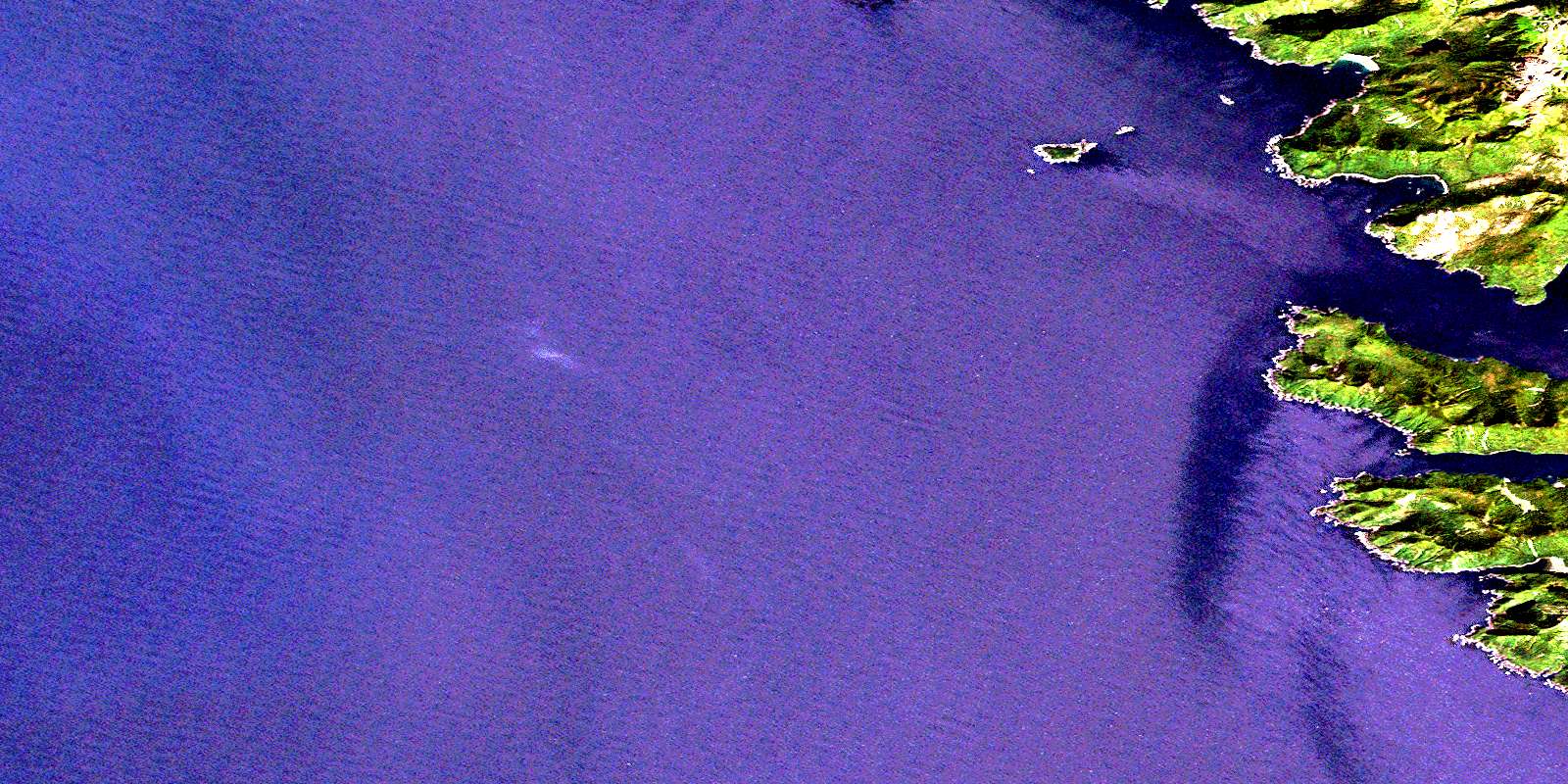
© Department of Natural Resources Canada. All rights reserved.
