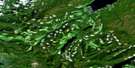
Yakoun Lake Satellite Image Map
Download Free Aerial Photo 103F08 at 1:50,000 scale
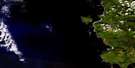
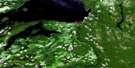
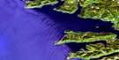
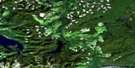
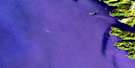
Yakoun Lake Satellite Imagery
To view this satellite map, mouse over the air photo on the right.
You can also download this satellite image map for free:
103F08 Yakoun Lake high-resolution satellite image map.
Maps for the Yakoun Lake aerial map sheet 103F08 at 1:50,000 scale are also available in these versions:
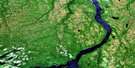
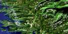
Yakoun Lake Surrounding Area Aerial Photo Maps
 |
 |
 |
|
 |
 |
||
 |
 |
||
 |
 |
© Department of Natural Resources Canada. All rights reserved.
Yakoun Lake Gazetteer
The following places can be found on satellite image map 103F08 Yakoun Lake:
Yakoun Lake Satellite Image: Bays
Bearskin BayClapp Basin
Ells Bay
Etheline Bay
Shields Bay
Skidegate Inlet
Van Harbour
Van Inlet
Yakoun Lake Satellite Image: Capes
Beattie PointDawson Head
Smith Point
Yakoun Lake Satellite Image: Channels
Mackenzie PassageYakoun Lake Satellite Image: Geographical areas
Queen Charlotte Land DistrictYakoun Lake Satellite Image: Indian Reserves
Réserve indienne Skidegate 1Skidegate Indian Reserve 1
Yakoun Lake Satellite Image: Islands
Clapp IslandsGraham Island
Îles de la Reine-Charlotte
Queen Charlotte Islands
Robertson Island
Shields Island
Yakoun Lake Satellite Image: Lakes
Feather LakeMarie Lake
Pam Lake
Peter Lake
Sheila Lake
Stanley Lake
Sue Lake
Yakoun Lake
Yakoun Lake Satellite Image: Mountains
Delta DomeDome Mountain
Double Mountain
Marie Peak
Mount Etheline
Mount Genevieve
Mount Matlock
Mount Needham
Mount Parrish
Mount Raymond
Mount Stapleton
Nipple Mountain
Old Baldy
Queen Charlotte Mountains
Skowkona Mountain
Skowkona Ridge
Slatechuck Mountain
Stony Peak
Trap Hill
Yakoun Lake Satellite Image: Plains
Skidegate PlateauYakoun Lake Satellite Image: Rivers
Anthracite CreekBaddeck Creek
Blackbear Creek
Brent Creek
Cairnes Creek
Canyon Creek
Charley Valley Creek
Chinukundl Creek
Crabapple Brook
Delta Creek
Demon Creek
Drill Creek
Etheline Creek
Falls Creek
Ghost Creek
Ghost River
Gold Creek
Gore Brook
Hartie Creek
Honna River
Hoodoo Creek
Jungle Creek
Kagan Creek
Katrine Creek
King Creek
Lella Creek
Miller Creek
Mountain Creek
Mountain River
Muncord Creek
Outlook Creek
Phantom Creek
Premier Creek
Riley Creek
Rockrun Creek
Sandstone Creek
Shields Creek
Skid Creek
Skowkona Creek
Slarkedus Creek
Slatechuck Creek
Sturdy Creek
Sue Creek
Survey Creek
Sybil Creek
Tarundl Creek
Templeton Creek
Three Mile Creek
Tlell River
Twin Creek
Twin River
Wilson Creek
Yakoun River
Yakoun Lake Satellite Image: Shoals
Ells RocksShields Rock
Yakoun Lake Satellite Image: Unincorporated areas
Queen CharlotteQueen Charlotte City
Yakoun Lake Satellite Image: Villages
Village of Queen Charlotte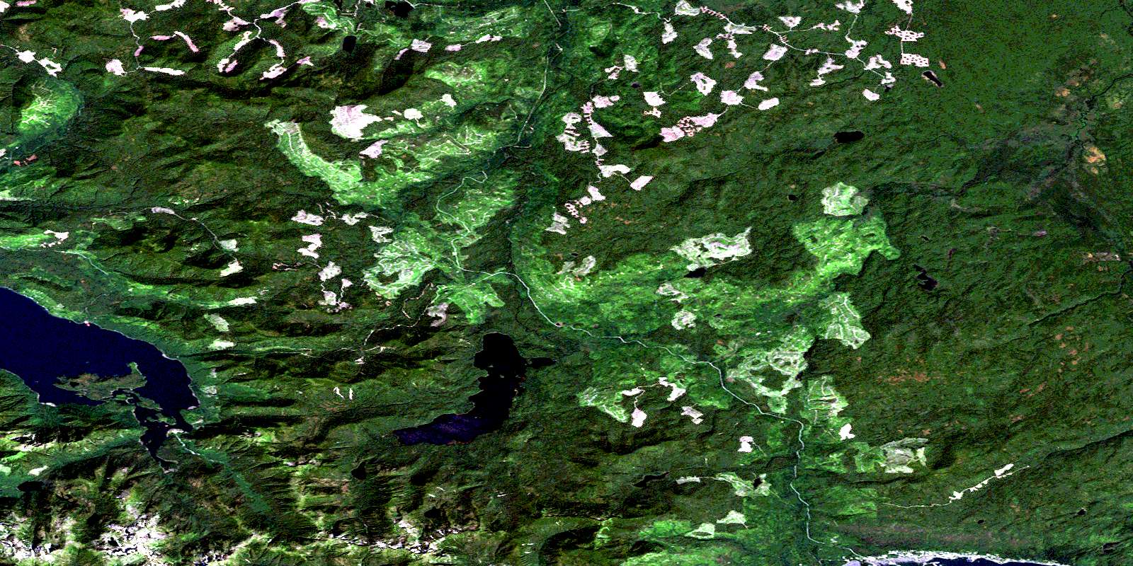
© Department of Natural Resources Canada. All rights reserved.
