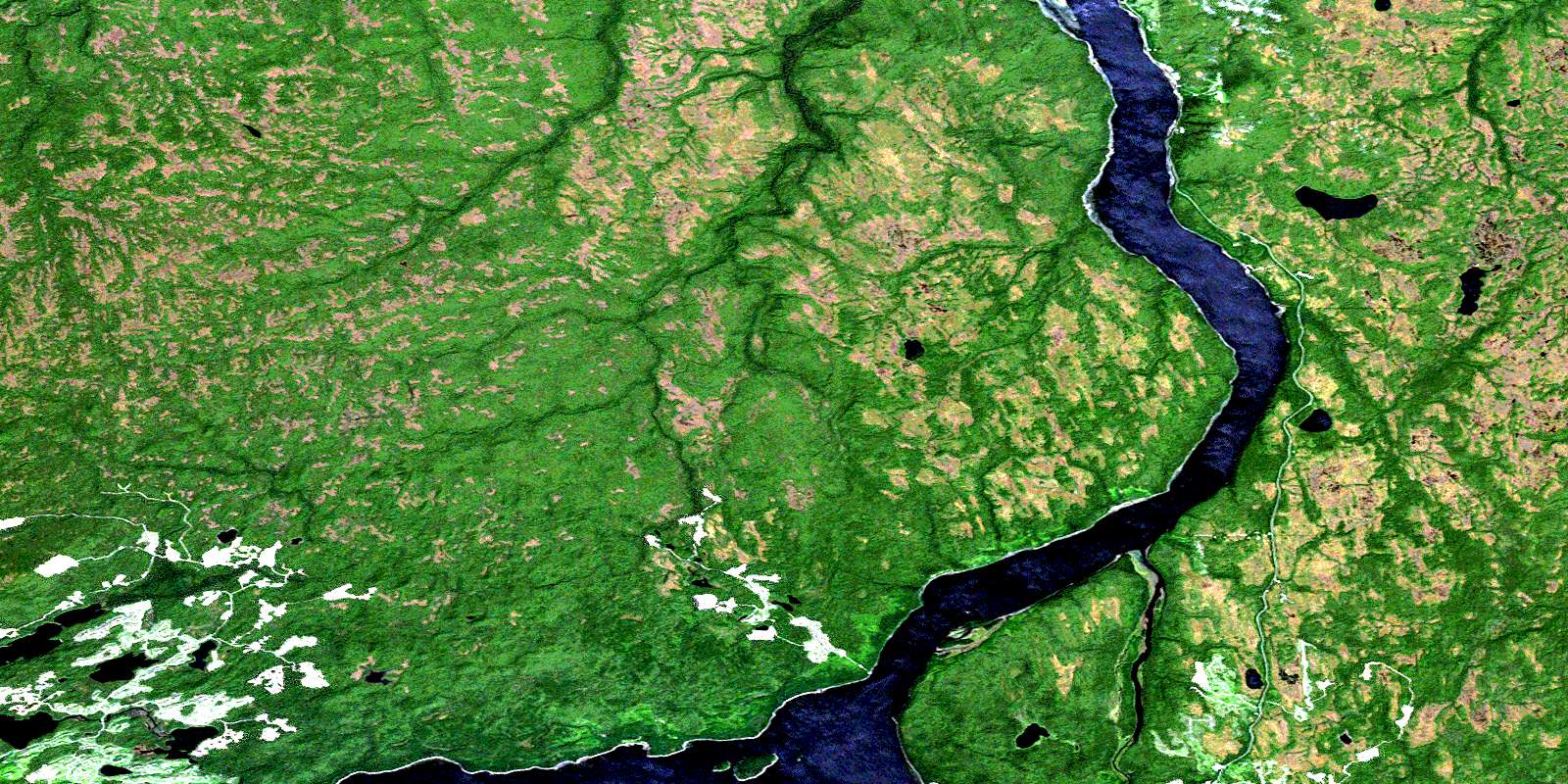
Masset Sound Satellite Image Map
Download Free Aerial Photo 103F16 at 1:50,000 scale
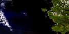
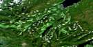
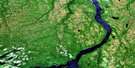
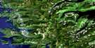
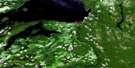
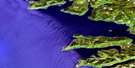
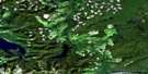
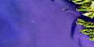
Masset Sound Satellite Imagery
To view this satellite map, mouse over the air photo on the right.
You can also download this satellite image map for free:
103F16 Masset Sound high-resolution satellite image map.
Maps for the Masset Sound aerial map sheet 103F16 at 1:50,000 scale are also available in these versions:
Masset Sound Surrounding Area Aerial Photo Maps
 |
 |
 |
|
 |
 |
||
 |
 |
||
 |
 |
© Department of Natural Resources Canada. All rights reserved.
Masset Sound Gazetteer
The following places can be found on satellite image map 103F16 Masset Sound:
Masset Sound Satellite Image: Bays
Masset InletMasset Sound Satellite Image: Capes
Allan PointCamp Point
Collison Point
Cook Point
Crowell Point
Griffith Point
Hogan Point
Skaga Point
Masset Sound Satellite Image: Channels
Masset SoundMasset Sound Satellite Image: Indian Reserves
Tlaa Gaa Aawtlaas 28Masset Sound Satellite Image: Islands
Cub IslandGraham Island
Îles de la Reine-Charlotte
Kumdis Island
Maast Island
Queen Charlotte Islands
Ship Island
Ship Kieta Island
Sloop Islet
Masset Sound Satellite Image: Lakes
Ain LakeBoulton Lake
Drizzle Lake
Ian Lake
Kumdis Lake
Pure Lake
Skonun Lake
Skundale Lake
Watt Lake
Masset Sound Satellite Image: Mountains
Queen Charlotte MountainsMasset Sound Satellite Image: Major municipal/district area - major agglomerations
Skeena-Queen Charlotte Regional DistrictMasset Sound Satellite Image: Conservation areas
Naikoon ParkPure Lake Park
Masset Sound Satellite Image: Rivers
Ain RiverChristie River
Copp Creek
Delkatla Creek
Drizzle Creek
Hancock River
Nadu River
Otun River
Skonun River
Watun River
Masset Sound Satellite Image: River features
Kumdis SloughMasset Sound Satellite Image: Unincorporated areas
NaduNadu River
Sewall
Sewell
Watun
Watun River
© Department of Natural Resources Canada. All rights reserved.
