Awun Lake Satellite Image Map
Download Free Aerial Photo 103F10 at 1:50,000 scale
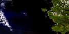
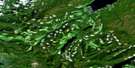
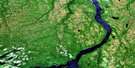
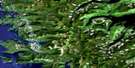
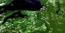
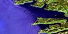
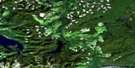
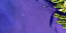
Awun Lake Satellite Imagery
To view this satellite map, mouse over the air photo on the right.
You can also download this satellite image map for free:
103F10 Awun Lake high-resolution satellite image map.
Maps for the Awun Lake aerial map sheet 103F10 at 1:50,000 scale are also available in these versions:
Awun Lake Surrounding Area Aerial Photo Maps
 |
 |
 |
|
 |
 |
||
 |
 |
||
 |
 |
© Department of Natural Resources Canada. All rights reserved.
Awun Lake Gazetteer
The following places can be found on satellite image map 103F10 Awun Lake:
Awun Lake Satellite Image: Bays
Athlow BayAwun Bay
Dinan Bay
Empire Anchorage
Goose Cove
Hosu Cove
Kiokathli Inlet
Masset Inlet
McClinton Bay
Nesto Inlet
North Cove
Port Chanal
Port Louis
Seal Inlet
Shannon Bay
Skelu Bay
Tingley Cove
Virgalias Cove
Awun Lake Satellite Image: Capes
Alured PointChanal Point
Gillan Point
Hippa Point
Hughes Point
Louis Point
Marchand Point
McIntosh Point
Notch Point
Salvesen Point
Selvesen Point
Skelu Point
Turner Point
Awun Lake Satellite Image: Channels
Hippa PassageAwun Lake Satellite Image: Cliffs
Celestial BluffAwun Lake Satellite Image: Indian Reserves
Owun Indian Reserve 24Réserve indienne Owun 24
Awun Lake Satellite Image: Islands
Barry IslandBrock Islands
Freeman Island
Graham Island
Hippa Island
Îles de la Reine-Charlotte
Mackenzie Island
Mutus Island
Ogilvie Island
Pip Islets
Queen Charlotte Islands
Queen Island
Sadler Island
Salvesen Island
Selvesen Island
Solide Islands
Wiah Island
Awun Lake Satellite Image: Lakes
Awun LakeIan Lake
Mercer Lake
Awun Lake Satellite Image: Mountains
Cameron RangeDavie Peak
Fortier Hill
Ironside Mountain
McKay Range
Mount Drake
Mount Hobbs
Mount Ironside
Queen Charlotte Mountains
Tan Mountain
Awun Lake Satellite Image: Plains
Skidegate PlateauAwun Lake Satellite Image: Rivers
Awun RiverCoates Creek
Datlamen Creek
Dinan Creek
Mace Creek
McClinton Creek
Steel Creek
Tatzun Brook
Tatzun Creek
Awun Lake Satellite Image: Shoals
Barnes ShoalBenson Rock
Chanal Rock
Flamingo Rock
Hippa Rocks
Louis Rocks
Mallard Rock
Newington Rock
Quequitz Reefs
Taylor Shoal
Thomas Rock
Awun Lake Satellite Image: Unincorporated areas
Hippa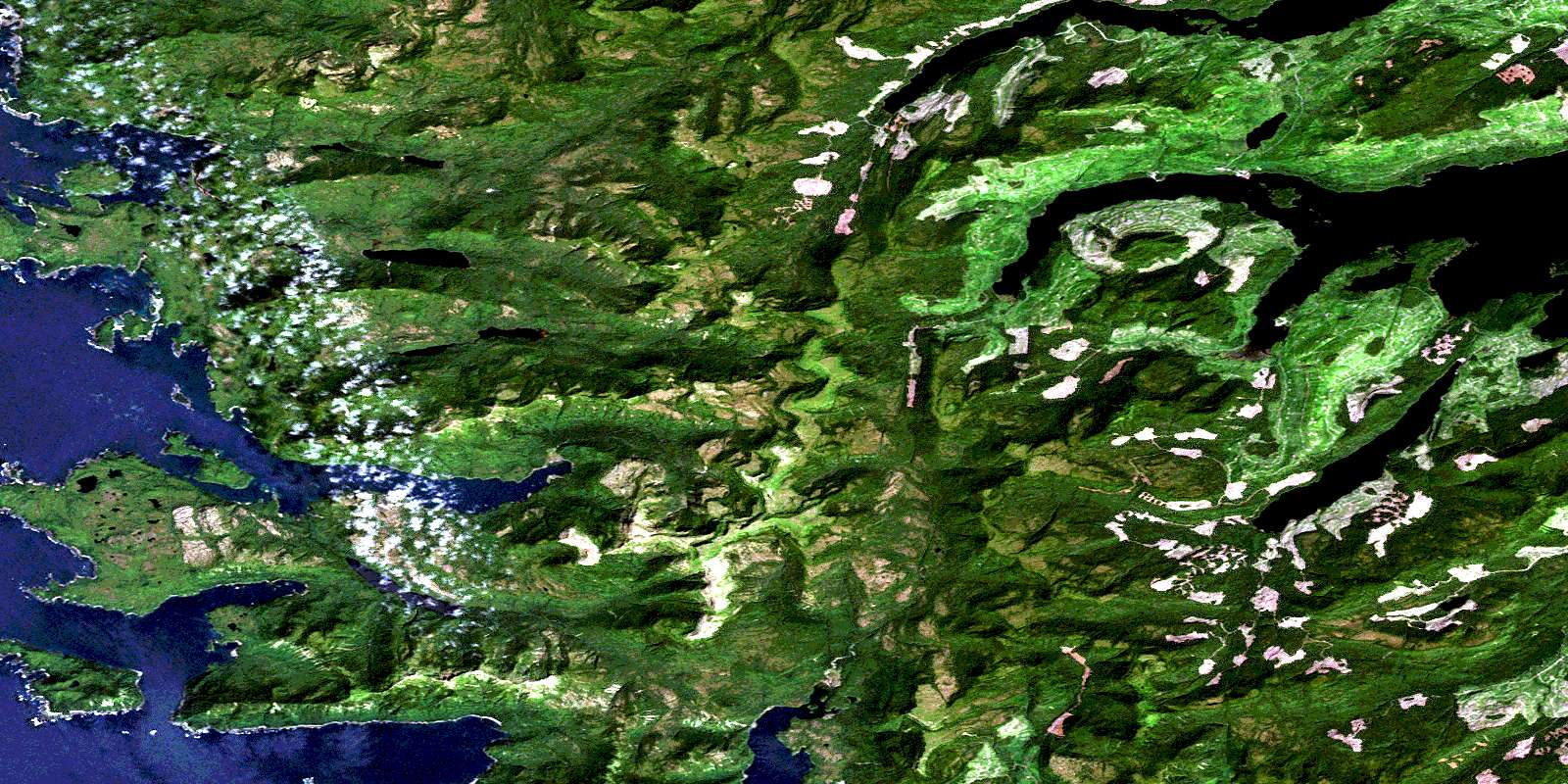
© Department of Natural Resources Canada. All rights reserved.
