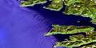
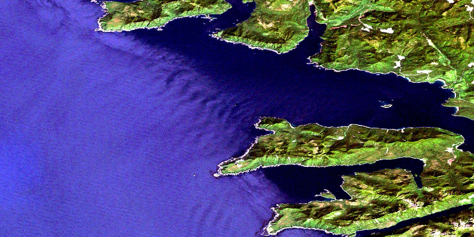
Rennell Sound Satellite Image Map
Download Free Aerial Photo 103F07 at 1:50,000 scale
Rennell Sound Satellite Imagery
To view this satellite map, mouse over the air photo on the right.
You can also download this satellite image map for free:
103F07 Rennell Sound high-resolution satellite image map.
Maps for the Rennell Sound aerial map sheet 103F07 at 1:50,000 scale are also available in these versions:
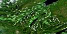
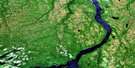
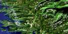
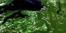
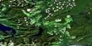
Rennell Sound Surrounding Area Aerial Photo Maps
 |
 |
 |
|
 |
 |
||
 |
 |
||
 |
 |
© Department of Natural Resources Canada. All rights reserved.
Rennell Sound Gazetteer
The following places can be found on satellite image map 103F07 Rennell Sound:
Rennell Sound Satellite Image: Bays
Carew BayClonard Bay
Givenchy Anchorage
Kano Inlet
Seal Inlet
Shields Bay
Skelu Bay
Tartoo Inlet
Tartu Inlet
Van Harbour
Van Inlet
Rennell Sound Satellite Image: Capes
Clonard PointCone Head
Fame Point
Gospel Point
Hunter Point
Kano Point
Kindakun Point
Kunakun Point
Richardson Head
Seal Point
Skwakadanee Point
Tartu Point
Rennell Sound Satellite Image: Channels
Cartwright SoundRennell Sound
Rennell Sound Satellite Image: Islands
Cadman IslandGospel Island
Graham Island
Îles de la Reine-Charlotte
Lauder Island
Queen Charlotte Islands
Sadler Island
Rennell Sound Satellite Image: Mountains
Mount EmmonsQueen Charlotte Mountains
Rennell Sound Satellite Image: Plains
Skidegate PlateauRennell Sound Satellite Image: Rivers
Riley CreekRennell Sound Satellite Image: Shoals
Freeman RockKindakun Rock
Rennell Reef
© Department of Natural Resources Canada. All rights reserved.
