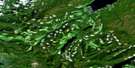
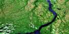
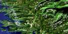
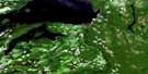
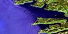
Naden River Satellite Image Map
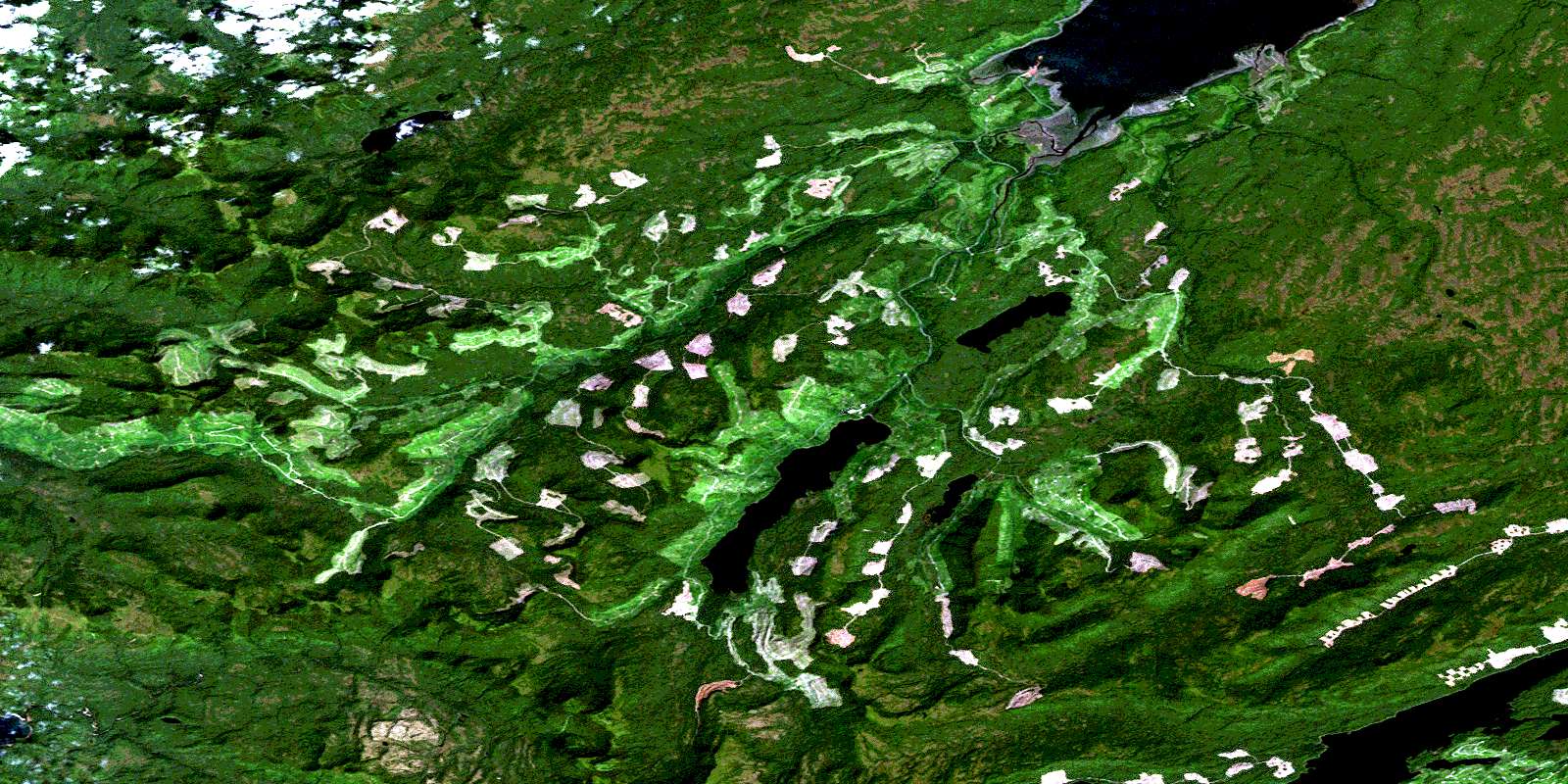
Download Free Aerial Photo 103F15 at 1:50,000 scale
Naden River Satellite Imagery
To view this satellite map, mouse over the air photo on the right.
You can also download this satellite image map for free:
103F15 Naden River high-resolution satellite image map.
Maps for the Naden River aerial map sheet 103F15 at 1:50,000 scale are also available in these versions:
Naden River Surrounding Area Aerial Photo Maps
 |
 |
 |
|
 |
 |
||
 |
 |
||
 |
 |
© Department of Natural Resources Canada. All rights reserved.
Naden River Gazetteer
The following places can be found on satellite image map 103F15 Naden River:
Naden River Satellite Image: Bays
Naden HarbourOtard Bay
Naden River Satellite Image: Capes
Chittenden PointColnett Point
Fraser Point
Kunlana Point
Naden River Satellite Image: Indian Reserves
Kose Indian Reserve 9Naden Indian Reserve 10
Naden Indian Reserve 23
Réserve indienne Kose 9
Réserve indienne Naden 10
Réserve indienne Naden 23
Tlaa Gaa Aawtlaas 28
Naden River Satellite Image: Islands
Graham IslandGrassy Islet
Îles de la Reine-Charlotte
Queen Charlotte Islands
Tee Island
Naden River Satellite Image: Lakes
Eden LakeIan Lake
Jalun Lake
Marian Lake
Roy Lake
Skundale Lake
Naden River Satellite Image: Mountains
Crease RangeMiddle Hill
Queen Charlotte Mountains
Naden River Satellite Image: Rivers
Beresford CreekCave Creek
Davidson Creek
Haines Creek
Hana Koot Creek
Jalun River
Lignite Creek
Naden River
Otard Creek
Stanley Creek
Naden River Satellite Image: Shoals
Grassy RockWadsworth Ledge
© Department of Natural Resources Canada. All rights reserved.
