Chateau Point Topo Map Online
Download Free Topo Map Sheet 002M13 at 1:50,000 scale
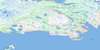
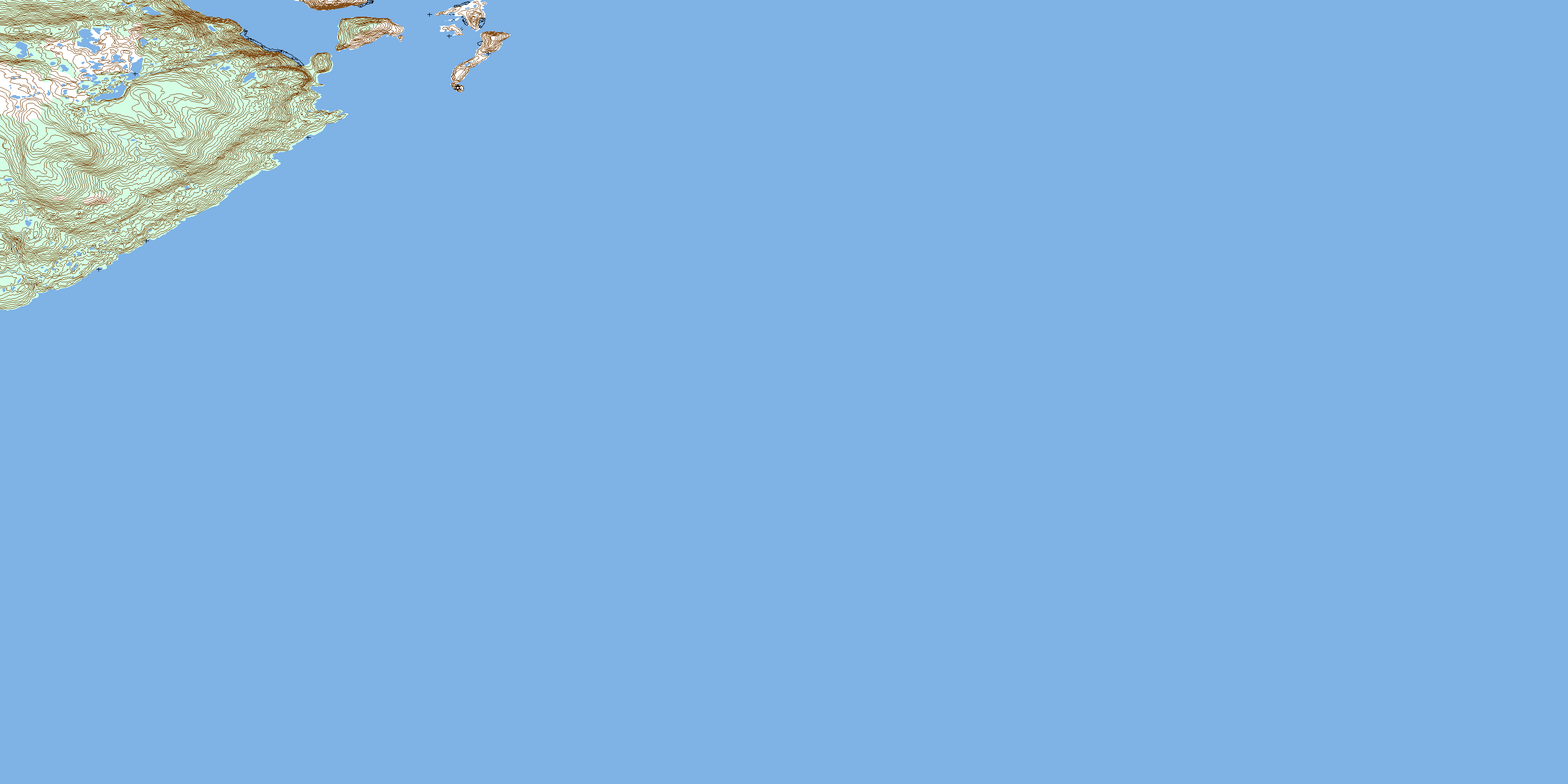
002M13 Chateau Point Topo Map
To view this map, mouse over the map preview on the right.
You can also download this topo map for free:
002M13 Chateau Point high-resolution topo map image.
Maps for the Chateau Point topo map sheet 002M13 at 1:50,000 scale are also available in these versions:
Chateau Point Surrounding Area Topo Maps
 |
 |
||
 |
 |
||
 |
|||
 |
© Department of Natural Resources Canada. All rights reserved.
Chateau Point Gazetteer
The following places can be found on topographic map sheet 002M13 Chateau Point:
Chateau Point Topo Map: Bays
Antelope HarbourChateau Bay
Henley Harbour
Pitts Harbour
Ship Cove
Temple Bay
Chateau Point Topo Map: Capes
Black PointChateau Point
Pitts Point
Pullman Head
York Point
Chateau Point Topo Map: Channels
American TickleDétroit de Belle Isle
Milners Tickle
Temple Pass
Chateau Point Topo Map: Islands
Castle IslandFlat Island
Henley Island
Seal Islands
Stage Islet
Whale Island
Chateau Point Topo Map: Mountains
High Beacon HillChateau Point Topo Map: Shoals
American ShoalBlack Rock
Fairway Bank
Flat Island Rock
Freezers Rock
Halfway Rock
Henney Shoal
Man of War Rock
Twelve Feet Rock
Chateau Point Topo Map: Unincorporated areas
ChateauHenley Harbour
Rocketts Cove
© Department of Natural Resources Canada. All rights reserved.
