Rose Blanche Topo Map Online
Download Free Topo Map Sheet 011O10 at 1:50,000 scale
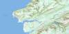
011O10 Rose Blanche Topo Map
To view this map, mouse over the map preview on the right.
You can also download this topo map for free:
011O10 Rose Blanche high-resolution topo map image.
Maps for the Rose Blanche topo map sheet 011O10 at 1:50,000 scale are also available in these versions:
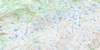
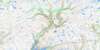
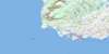
Rose Blanche Surrounding Area Topo Maps
 |
 |
 |
|
 |
 |
 |
|
© Department of Natural Resources Canada. All rights reserved.
Rose Blanche Gazetteer
The following places can be found on topographic map sheet 011O10 Rose Blanche:
Rose Blanche Topo Map: Bays
Bay Le MoineBennett Cove
Broad Cove
Brown Cove
Burnt Island Harbour
Coney Bay
Dublin Cove
Firmages Cove
Garia Bay
Garia Harbour
God Bay
Golfe du Saint-Laurent
Gulf of St. Lawrence
Harbour Le Cou
Hatchers Cove
Isle aux Morts Harbour
Little Garia Bay
Lobster Cove
Mull Face Bay
Otter Bay
Picot Hole
Pool Cove
Rose Blanche Bay
Rose Blanche Harbour
Salmon Cove
Seal Island Harbour
Shark Cove
Ship Cove
Sosoleil Hole
Spirit Cove
Squid Hole
The Barasway
The Barasway
The Bottom
West Arm
Rose Blanche Topo Map: Capes
Baker's PointBeach Point
Berry Point
Brown Cove Point
Butt Head
Carpet Point
Coffin Point
Coney Head
Deer Point
Firmages Head
Fish Head
Fish Point
Garb Point
Grave Point
Green Point
Hiscock's Point
Long Point
Net Cove Point
Net Point
Net Point
Ragged Point
Red Head
Rose Blanche Point
Sarsaparilla Point
Seal Island Head
Shark Cove Head
Shoal Point
Slammer Point
Southeast Point
Stickland Point
White Head
White Point
Rose Blanche Topo Map: Channels
Eastern PassageGrandy Passage
Grandy Sound
Middle Passage
Milners Channel
Milners Tickle
Western Passage
Rose Blanche Topo Map: Cliffs
Blow Me DownBurnt Island Bluff
White Cliff
Rose Blanche Topo Map: Islands
Baker's IslandBaziel Islands
Big Glimbi Island
Big Island
Big Seal Island
Black Island
Burnt Islands
Butt Island
Cains Island
Clarks Island
Colombier Islands
Comber Islands
Deer Island
Duck Island
Duck Island
Firmage's Island
Fox Goose Island
Frenchman Island
Frenchman Island
Goose Island
Great Burnt Island
Green Island
Gull Island
Harbour Island
Hiscock Islands
Hopkins Island
Indian Island
Isle aux Morts
Kitty Island
Little Glimbi Island
Little Grave Island
Little White Island
Lobster Claw Island
Mickle Reach Island
Middle Island
Muskrat Island
Offer Seal Island
Otter Gut Island
Pigeon Island
Pigeon Island
Pitman's Island
Pool Island
Potato Island
Pushthrough Islands
Ragged Island
Round Island
Round Island
Round Island
Salmon Island
Salmon Net Island
Shag Island
Smock Island
Southeast Island
Spruce Island
Squid Island
Tinker Island
White Islands
Winging Island
Woody Island
Wreck Island
Wreck Island
Rose Blanche Topo Map: Lakes
Full PondJackass Pond
Long Lake
Meadows Longs Pond
Northwest Pond
Rose Blanche Topo Map: Mountains
Butterpot HillHarry's Knob
Long Range Mountains
Ship Cove Hill
Sugarloaf
The Nuddick
Waterfall
Rose Blanche Topo Map: Conservation areas
Otter Bay Provincial ParkRose Blanche Topo Map: Rivers
Burnt Island BrookFarmers Brook
Garia Brook
Grandys Brook
Isle aux Morts River
Northwest Brook
Northwest Brook
Rose Blanche Brook
Southeast Brook
Rose Blanche Topo Map: Shoals
Bad NeighorBakers Ledge
Bay Le Moine Rock
Bell Rock
Bell Rock
Bennett Cove Sunker
Big Rock
Big Shoal
Bight Sunkers
Black Rock
Black Rock
Black Rock
Black Rock
Black Rock
Black Rock
Black Rock Shoal
Black Rock Shoal
Black Rock Sunker
Bob Roger's Shoal
Bob Shoal
Bowdridge Shoal
Brag Rock
Butt Shoal
Calapoose Rocks
Camber Shoal
Connor Rock
Cow Head Shoal
Crew Shoal
Dicky Rock
Dublin Cove Rocks
Duck Rock
Duck Rocks
Eastern Shoal
Edge of Ground
Elias Shoal
Flat Rock
Frenchman Hole
Frenchman Rock
Gob Rock
Green Island Sunkers
Halifax Shoal
Harrys Rock
Hat Rocks
Hill's Rock
Jack Shoal
Jim Shoal
Job Halliday Shoal
Lily Shoal
Little Glim Rock
Lookout Shoal
Major Rock
Middle Bight Shoal
Middle Ground
Middle Hummock
Middle Stick Shoal
Net Shoal
Neverfail Shoal
North Red Head Rock
Offer Bank
Offer Gob Rock
Offer Lookout Shoal
Old Man's Shoal
Passage Shoal
Pigeon Island Shoals
Pigeon Ledge
Pillar Rock
Point Shoal
Pot Rock
Quand Shoal
Raymond Shoal
Red House Shoal
Rose Blanche Bank
Rose Blanche Shoals
Salmon-Net Island Shoal
Sarsaparilla Shoal
Sculpin Rock
Shag Island Shoal
Shag Rocks
Slammer Shoal
Sleepy Shoal
Smith Shoal
South Red Head Rock
Southeast Rock
Southeast Rocks
Southwest Rock
Southwest Shoal
Stickland Shoal
Stone Shoal
Taylor Shoal
The Bull
The Calf
The Cow
The Friar
The Red House
Thibaud Shoal
Tinker Sunker
Touch and Take Shoal
Twin Rocks
Uncle John Shoal
Wash Rocks
Wat Pink Shoal
West Red House Shoal
Western Bight Shoal
Western Shoal
Whale's Back
White Rock
White Sunkers
Whittle Rock
Winging Rock
Winging Rocks
Wreck Island Sunkers
Yankee Rocks
Rose Blanche Topo Map: Towns
Burnt IslandsIsle aux Morts
Rose Blanche-Harbour Le Cou
Rose Blanche Topo Map: Unincorporated areas
Cains IslandDiamond Cove
Harbour Le Cou
Petites
Petites
Rose Blanche
Rose Blanche Topo Map: Valleys
Bay Le Moine GulchRose Blanche Topo Map: Villages
Burnt Island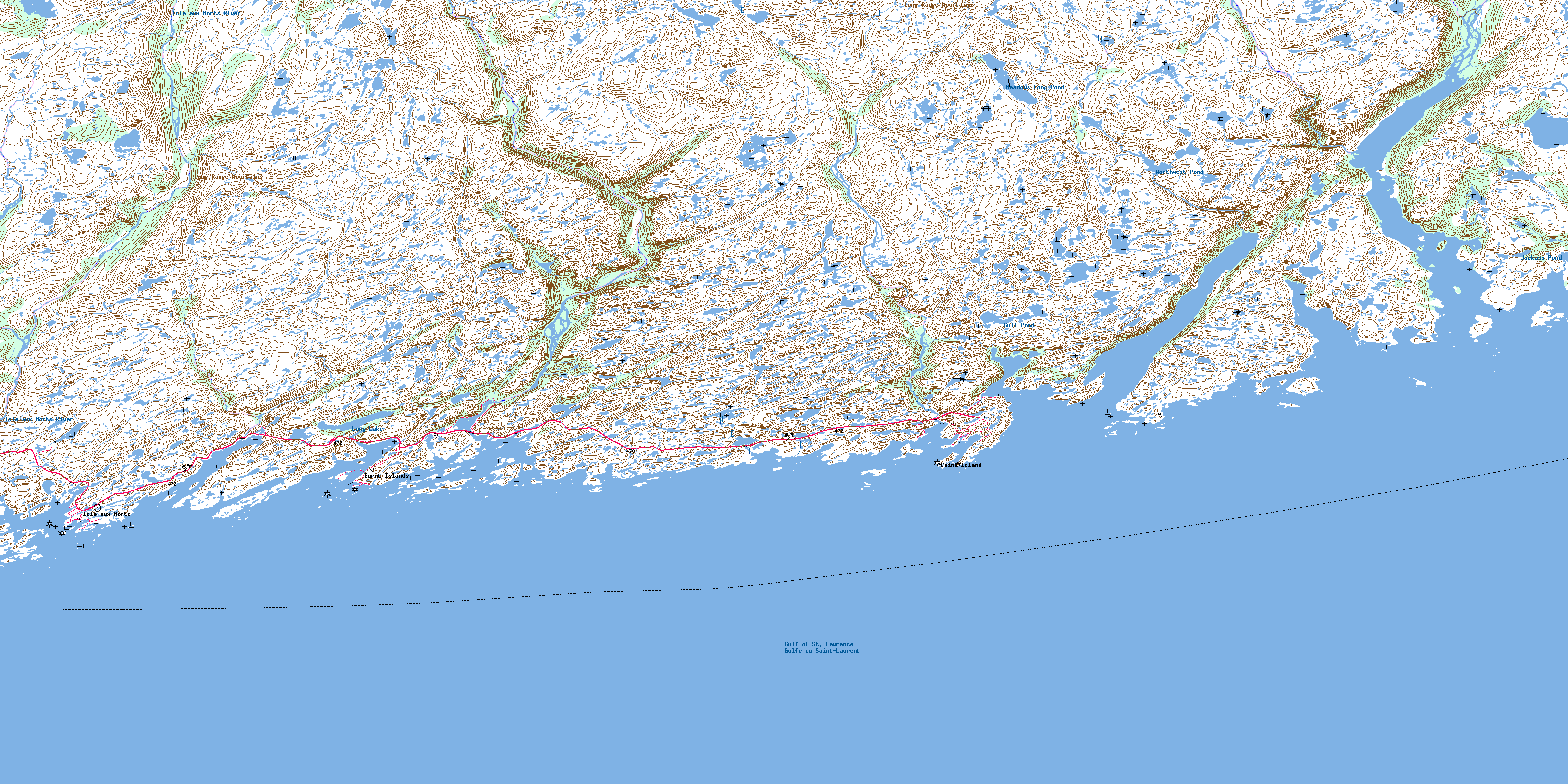
© Department of Natural Resources Canada. All rights reserved.
