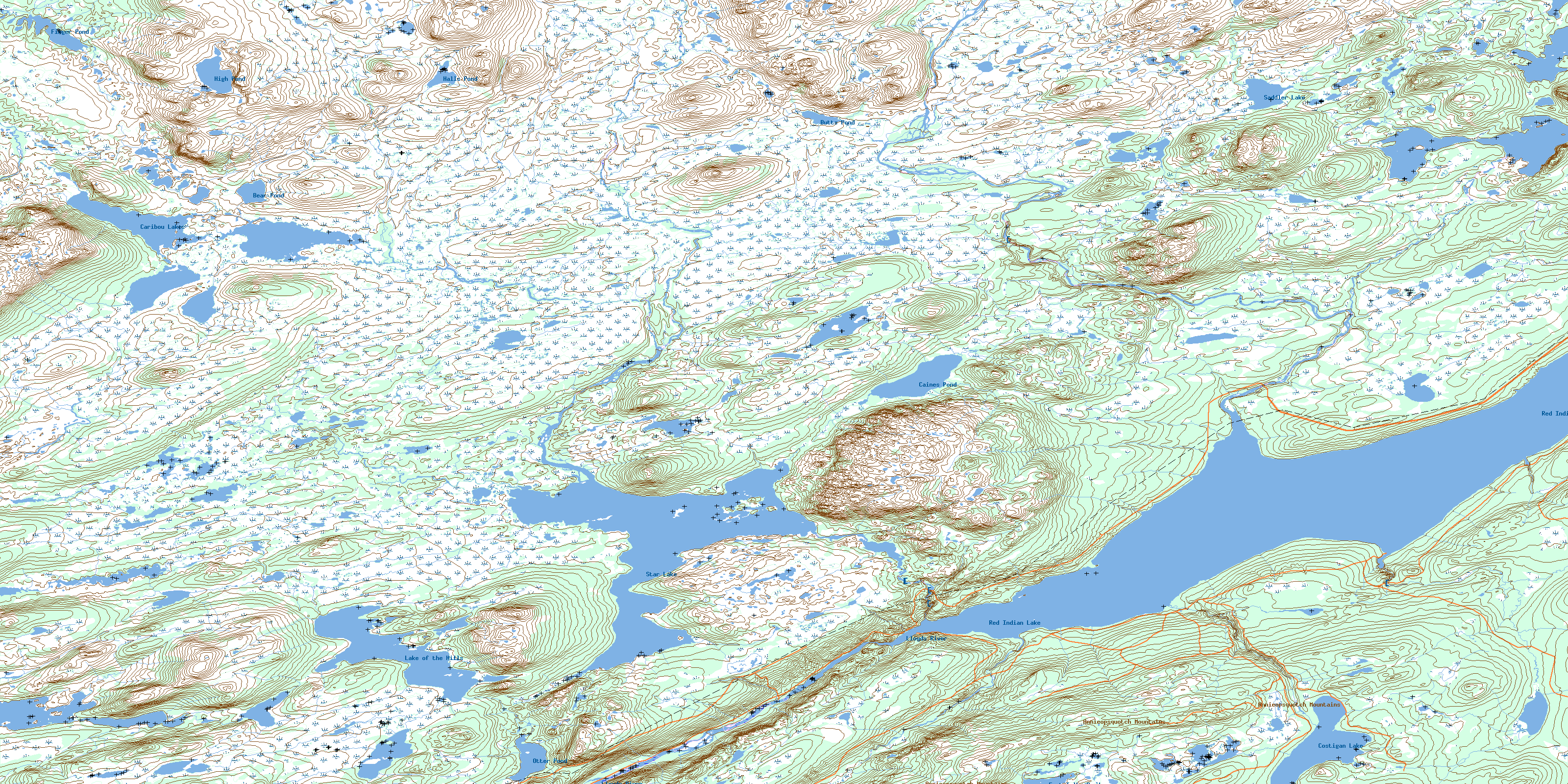
Star Lake Topo Map Online
Download Free Topo Map Sheet 012A11 at 1:50,000 scale
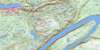
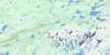
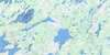
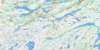
012A11 Star Lake Topo Map
To view this map, mouse over the map preview on the right.
You can also download this topo map for free:
012A11 Star Lake high-resolution topo map image.
Maps for the Star Lake topo map sheet 012A11 at 1:50,000 scale are also available in these versions:
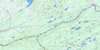
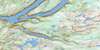
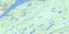
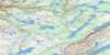
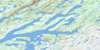
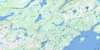
Star Lake Surrounding Area Topo Maps
 |
 |
 |
 |
 |
 |
 |
 |
 |
 |
 |
 |
 |
 |
 |
 |
© Department of Natural Resources Canada. All rights reserved.
Star Lake Gazetteer
The following places can be found on topographic map sheet 012A11 Star Lake:
Star Lake Topo Map: Lakes
Bear PondButts Pond
Caines Pond
Caribou Lakes
Costigan Lake
East Tulks Pond
Finger Pond
Halls Pond
High Pond
Lake of the Hills
Otter Pond
Red Indian Lake
Saddler Lake
Star Lake
Tulks Lake
Star Lake Topo Map: Mountains
Annieopsquotch MountainsHalfway Mountain
Star Lake Topo Map: Rivers
Lewaseechjeech BrookLloyds River
Mountain Brook
Otter Brook
Red Indian Brook
Shanadithit Brook
Star Brook
Tulks Brook
© Department of Natural Resources Canada. All rights reserved.
012A Related Maps:
012A Red Indian Lake012A01 Cold Spring Pond
012A02 Wolf Mountain
012A03 Burnt Pond
012A04 King George Iv Lake
012A05 Puddle Pond
012A06 Victoria Lake
012A07 Snowshoe Pond
012A08 Great Burnt Lake
012A09 Noel Paul's Brook
012A10 Lake Ambrose
012A11 Star Lake
012A12 Little Grand Lake
012A13 Corner Brook
012A14 Rainy Lake
012A15 Buchans
012A16 Badger
