Cape St George Topo Map Online
Download Free Topo Map Sheet 012B06 at 1:50,000 scale
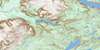
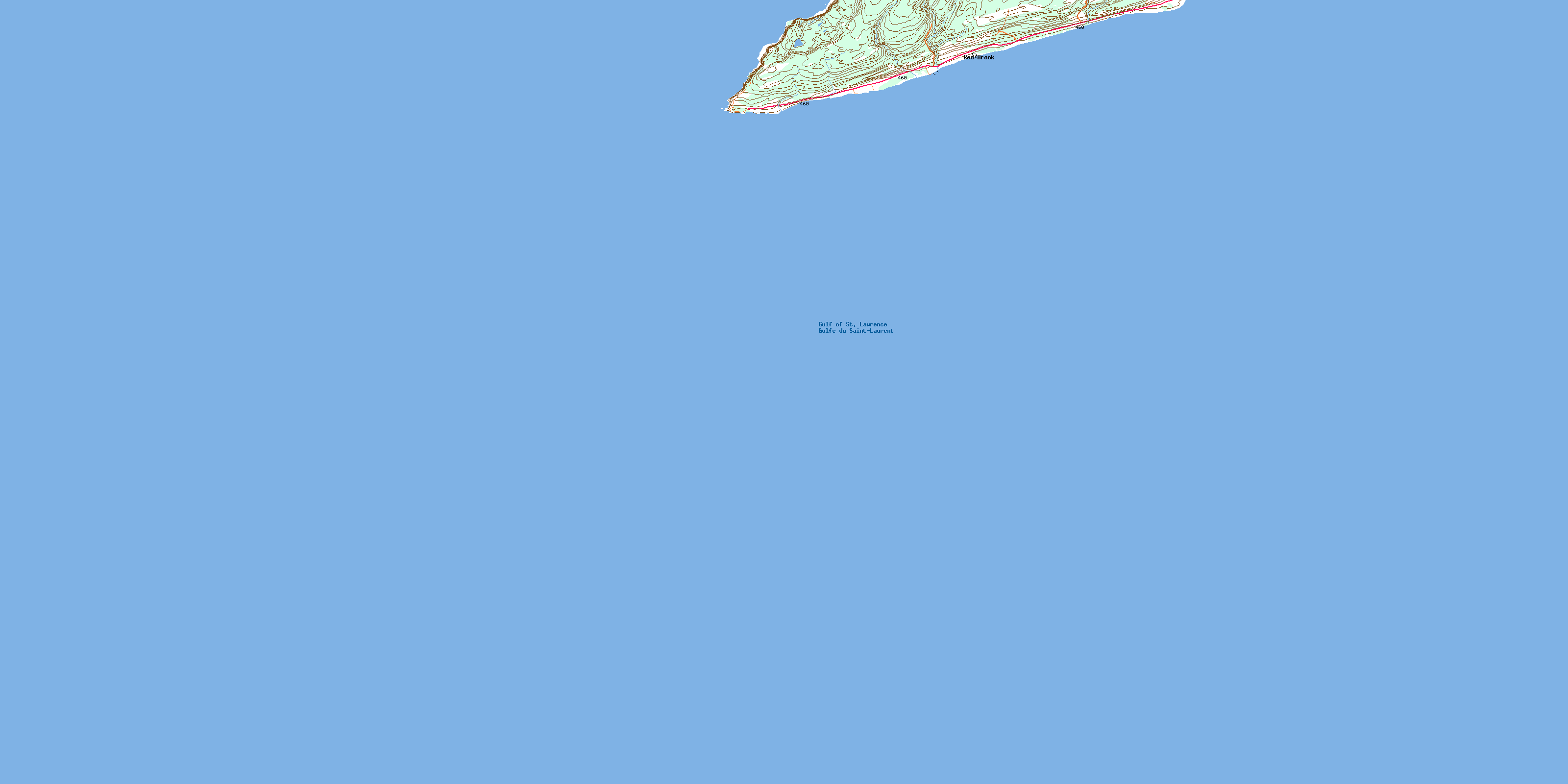
012B06 Cape St George Topo Map
To view this map, mouse over the map preview on the right.
You can also download this topo map for free:
012B06 Cape St George high-resolution topo map image.
Maps for the Cape St George topo map sheet 012B06 at 1:50,000 scale are also available in these versions:
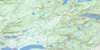
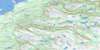
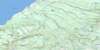
Cape St George Surrounding Area Topo Maps
 |
 |
||
 |
 |
 |
|
 |
 |
 |
|
 |
 |
 |
© Department of Natural Resources Canada. All rights reserved.
Cape St George Gazetteer
The following places can be found on topographic map sheet 012B06 Cape St George:
Cape St George Topo Map: Bays
Big CoveGolfe du Saint-Laurent
Gulf of St. Lawrence
St. George's Bay
Cape St George Topo Map: Capes
Cape St. GeorgeMarches Point
Port au Port Peninsula
Cape St George Topo Map: Mountains
Garden HillCape St George Topo Map: Rivers
Red BrookCape St George Topo Map: Shoals
March Point BankCape St George Topo Map: Towns
Cape St. GeorgeCape St. George-Petit Jardin-Grand Jardin-De Grau-Marches Point-Loretto
Cape St George Topo Map: Unincorporated areas
Cape St. GeorgeDe Grau
Grand Jardin
Marches Point
Petit Jardin
Red Brook
© Department of Natural Resources Canada. All rights reserved.
