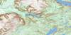
Georges Lake Topo Map Online
Download Free Topo Map Sheet 012B16 at 1:50,000 scale
012B16 Georges Lake Topo Map
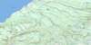
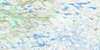
To view this map, mouse over the map preview on the right.
You can also download this topo map for free:
012B16 Georges Lake high-resolution topo map image.
Maps for the Georges Lake topo map sheet 012B16 at 1:50,000 scale are also available in these versions:
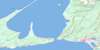
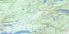
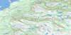
Georges Lake Surrounding Area Topo Maps
 |
 |
||
 |
 |
 |
|
 |
 |
 |
|
 |
 |
 |
© Department of Natural Resources Canada. All rights reserved.
Georges Lake Gazetteer
The following places can be found on topographic map sheet 012B16 Georges Lake:
Georges Lake Topo Map: Bays
Bannatyne CoveCooks Cove
Davis Cove
Gum Cove
Humber Arm
Leahy Cove
Pleasant Cove
Georges Lake Topo Map: Capes
Giles PointHalfway Point
Meadows Point
Petries Point
Spruce Point
Georges Lake Topo Map: City
Corner BrookGeorges Lake Topo Map: Lakes
Barleys PondBeaver Pond
Big Cooks Pond
Big Gull Pond
Blue Pond
Blue Ponds
Buds Lake
Burnt Pond
Clarks Pond
Crooked Pond
Dozer Pond
First Pond
First Pond
Fourth Pond
Fox Pond
Georges Lake
Gull Pond Steadies
Gull Pond Steady
Gullet Pond
Hines Pond
Island Pond
Little Cooks Pond
Little St. George Pond
Meadows Pond
Old Mans Pond
Parmac Pond
Petleys Pond
Pinchgut Lake
Robinsons Ponds
Rocky Pond
Rocky Pond
Round Pond
Rushy Pond
Second Pond
Second Pond
Serpentine Lake
Sister Pond
Snooks Pond
South Pond
Stag Lake
Third Pond
Third Pond
Third Pond
Georges Lake Topo Map: Mountains
Blue HillCone Peak
Lewis Hills
Long Range Mountains
Mount Barren
Mount Moriah
Round Hill
Stag Hill
The Cabox
Georges Lake Topo Map: Conservation areas
Blue Pond Provincial ParkBlue Ponds Provincial Park
Newfoundland T'Railway Provincial Park
Stag Lake Provincial Park
Georges Lake Topo Map: Rivers
Allens BrookBeaver Brook
Big Feeder Brook
Blue Hill Brook
Burnt Hill Brook
Camp 5 Brook
Camp 8 Brook
Camp Eleven Brook
Clarkes Brook West Branch
Clarks Brook
Coal River
Cooks Brook
East Blue Hill Brook
East North Brook
Fox Island River
Knights Brook
Little Feeder Brook
Middle Blue Hill Brook
Molly Ann Brook
Petries Brook
Phillips Brook
Pinchgut Brook
Red Barren Brook
Red Gulch Brook
Riley's Brook
Rope Cove Brook
Serpentine (Coal) River
Serpentine River
Simms Brook
Snooks Brook
Spruce Brook
St. Marys Brook
Vardy Brook
Wheelers Brook
Georges Lake Topo Map: Towns
Halfway Point-Benoit's Cove-John's Beach-Frenchman's CoveHumber Arm South
Irishtown-Summerside
Meadows
Mount Moriah
Georges Lake Topo Map: Unincorporated areas
BeaverBeaver Pond
Cooke
Cooks Brook
Georgetown
Halfway Point
Howards
Petries
Serpentine
Sopers
Spruce Brook
Georges Lake Topo Map: Valleys
Rope Cove Canyon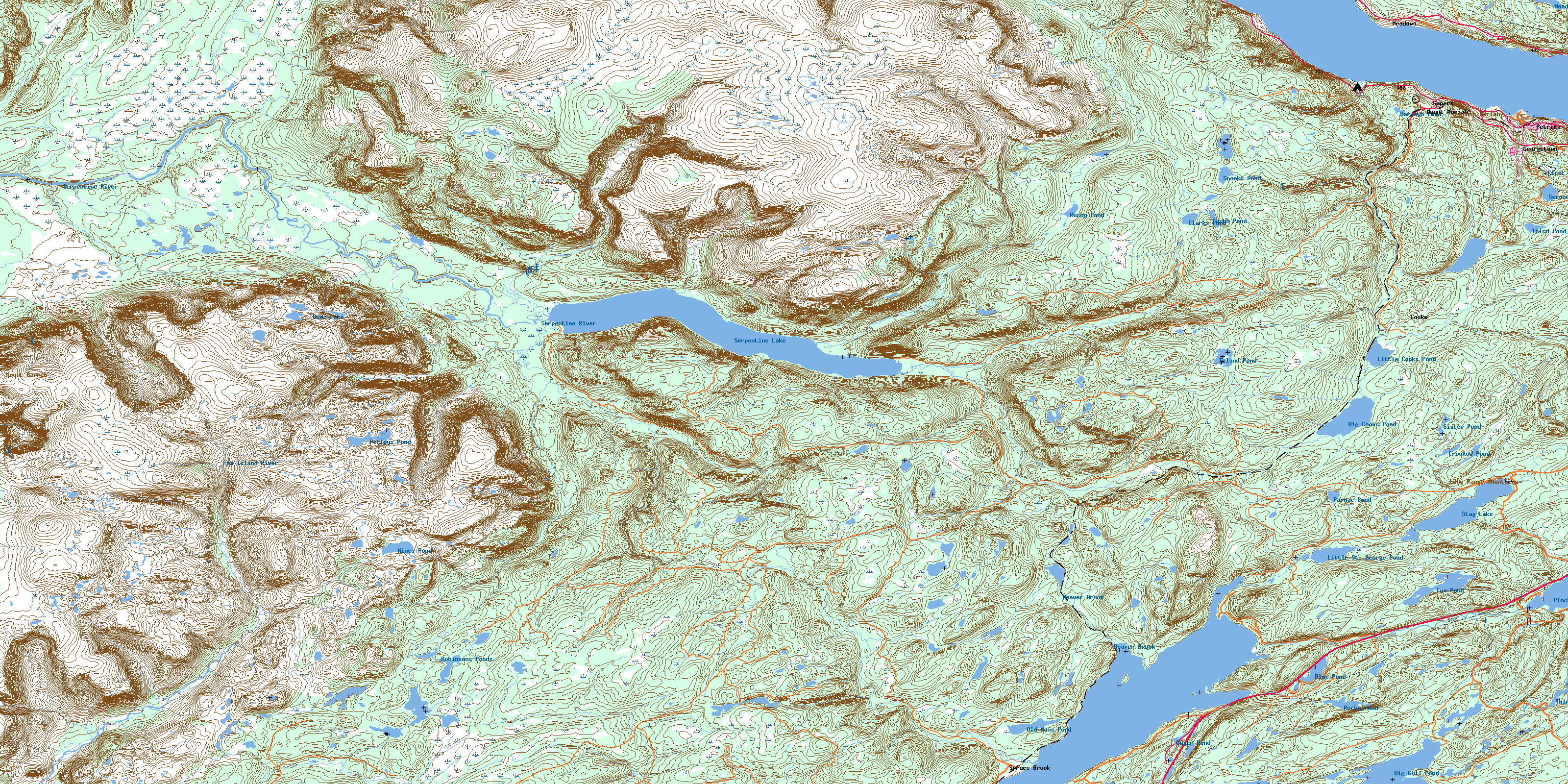
© Department of Natural Resources Canada. All rights reserved.
