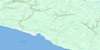
Riviere Galiote Topo Map Online
Download Free Topo Map Sheet 012E06 at 1:50,000 scale
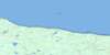
012E06 Riviere Galiote Topo Map
To view this map, mouse over the map preview on the right.
You can also download this topo map for free:
012E06 Riviere Galiote high-resolution topo map image.
Maps for the Riviere Galiote topo map sheet 012E06 at 1:50,000 scale are also available in these versions:
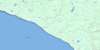
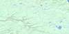
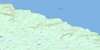
Riviere Galiote Surrounding Area Topo Maps
 |
 |
||
 |
 |
 |
 |
 |
 |
 |
 |
 |
 |
 |
© Department of Natural Resources Canada. All rights reserved.
Riviere Galiote Gazetteer
The following places can be found on topographic map sheet 012E06 Riviere Galiote:
Riviere Galiote Topo Map: Bays
Baie des SablesGolfe du Saint-Laurent
Riviere Galiote Topo Map: Miscellaneous campsites
Brick-la-MerGaliote-la-Mer
Riviere Galiote Topo Map: Capes
Côte de la Grande TraverséePointe de la Tourbe
Pointe du Petit Lac Salé
Pointe Peat
Riviere Galiote Topo Map: Channels
Détroit d'HonguedoPassage Gaspé
Riviere Galiote Topo Map: Islands
Anticosti IslandÎle d'Anticosti
Riviere Galiote Topo Map: Lakes
Étang ChicotteÉtang de la Gélinotte
Étang du Corbeau
Étang du Tétras
Grand lac Salé
Lac du Sud
Lac Great Salt
Lac Jolliet
Lac Salé
Lac Salt
Petit lac Salé
Riviere Galiote Topo Map: Miscellaneous
BrickRiviere Galiote Topo Map: Conservation areas
Parc national d'AnticostiRéserve écologique du Grand-Lac-Salé
Riviere Galiote Topo Map: Rivers
Rivière à la ChuteRivière aux Rats
Rivière Chicotte
Rivière du Brick
Rivière Galiote
Rivière Jupiter
Ruisseau Babineau
Ruisseau Trois Milles
Riviere Galiote Topo Map: Shoals
Brisants JumpersRiviere Galiote Topo Map: Unincorporated areas
Galiote-la-ChuteGaliote-la-Fourche
Satellite
Tour-Chicotte
Riviere Galiote Topo Map: Valleys
Canyon de la ChicotteCanyon du Brick
Riviere Galiote Topo Map: Low vegetation
Étang du Canard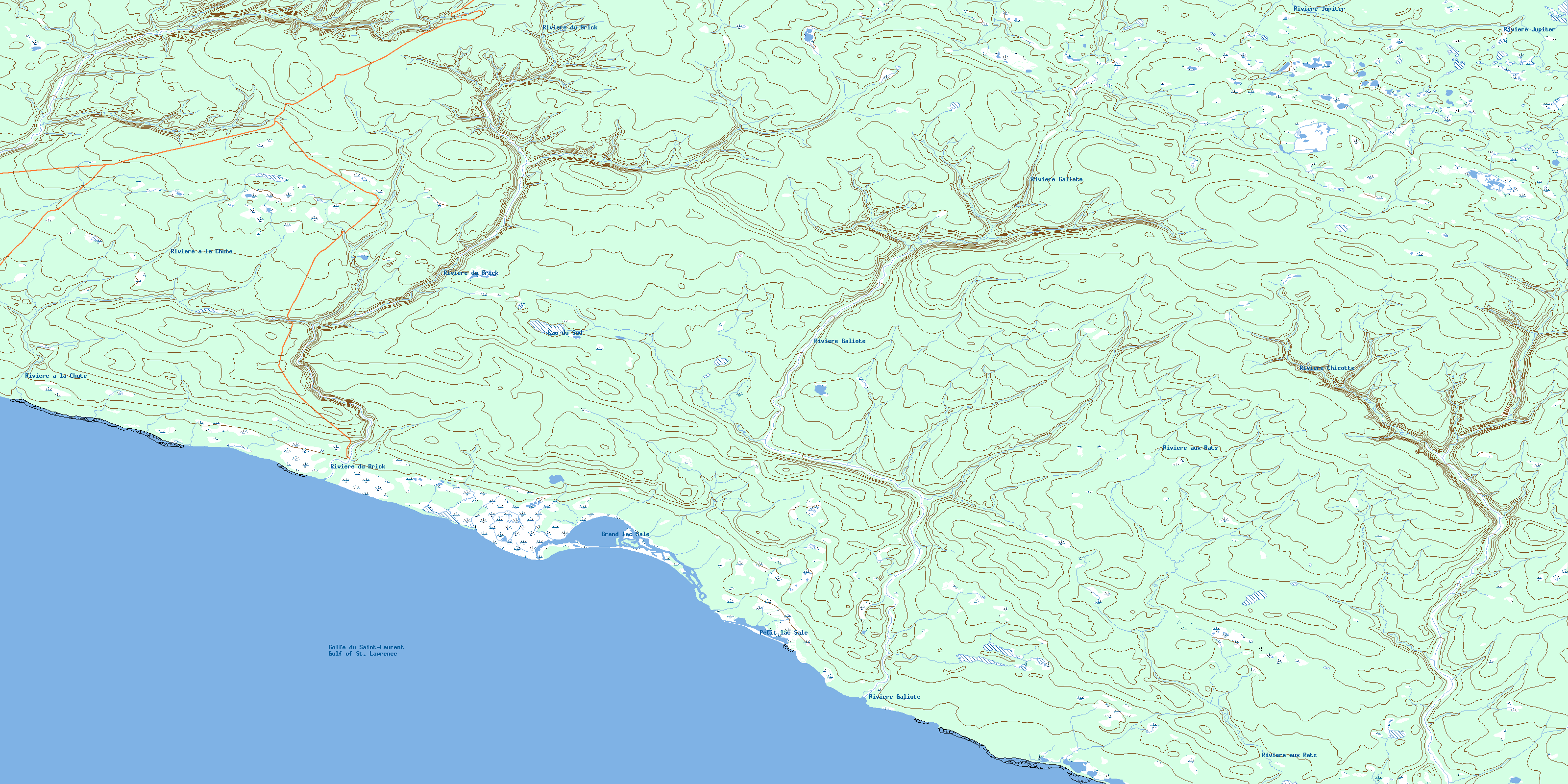
© Department of Natural Resources Canada. All rights reserved.
012E Related Maps:
012E Ile D'Anticosti012E01 Escarpement Bagot
012E02 Riviere Bilodeau
012E03 Riviere Chicotte
012E05 Anse Gibbons
012E06 Riviere Galiote
012E07 Lac Rainsford
012E08 Grande Baie Broom
012E09 Pointe De La Tour
012E10 Pointe Carleton
012E11 Lac Wickenden
012E12 Riviere Au Fusil
012E13 Lac Faure
012E14 Anse De La Sauvagesse
