Pointe Carleton Topo Map Online
Download Free Topo Map Sheet 012E10 at 1:50,000 scale
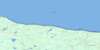
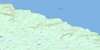
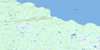
012E10 Pointe Carleton Topo Map
To view this map, mouse over the map preview on the right.
You can also download this topo map for free:
012E10 Pointe Carleton high-resolution topo map image.
Maps for the Pointe Carleton topo map sheet 012E10 at 1:50,000 scale are also available in these versions:
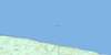
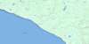
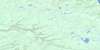
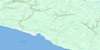
Pointe Carleton Surrounding Area Topo Maps
 |
 |
||
 |
 |
 |
 |
 |
 |
 |
 |
 |
 |
 |
© Department of Natural Resources Canada. All rights reserved.
Pointe Carleton Gazetteer
The following places can be found on topographic map sheet 012E10 Pointe Carleton:
Pointe Carleton Topo Map: Bays
Anse à la VacheAnse des Acadiens
Anse des Cayens
Anse du Sentier Vert
Anse Tap
Baie à la Patate
Baie au Caplan
Baie Maujerol
Baie Mazerolle
Baie Morsal
Baie Observation
Golfe du Saint-Laurent
Pointe Carleton Topo Map: Miscellaneous campsites
Camping WilcoxRivière-à-la-Patate
Vauréal
Pointe Carleton Topo Map: Capes
Cap CrottéCap Observation
Côte de la Découverte
Pointe à la Patate
Pointe à la Vache
Pointe Carleton
Pointe Christophe-Colomb
Pointe Guy
Pointe Carleton Topo Map: Caves
Caverne à la PatateGrotte à la Patate
Grotte aux Cerises
Grotte de la Rivière Vauréal
Grotte des Vents
Grotte Kateri
Pointe Carleton Topo Map: Channels
Détroit de Jacques-CartierPointe Carleton Topo Map: Falls
Chute de l'ObservationChute de l'Observation Ouest
Chute Maujerol
Chute Mazerolle
Chute Mozerold
Chute Vauréal
Pointe Carleton Topo Map: Islands
Anticosti IslandÎle d'Anticosti
Pointe Carleton Topo Map: Lakes
Étang AlbertÉtang André
Étang Corneille
Étang Cornu
Étang de la Chute
Étang du Chasseur
Étang du Faon
Étang Fortin
Étang Girard
Étang Jessie
Étang Paule
Étang Raymond
Étang Simard
Lac à l'Île
Lac Belnap
Lac Corneille
Lac Dam
Lac de la Loutre
Lac du Barrage
Lac Étroit
Lac Lapointe
Lac Malouin
Lac Otter
Lac Serge
Lac Simard
Lac Tony
Lac Vauréal
Lac Wilcox
Pointe Carleton Topo Map: Marine navigation features
Phare de Pointe-CarletonPointe Carleton Topo Map: Miscellaneous
Épave du WilcoxPointe Carleton Topo Map: Conservation areas
Parc national d'AnticostiPointe Carleton Topo Map: Rivers
Rivière à la PatateRivière Bear
Rivière de la Chaloupe
Rivière de la Roche
Rivière de l'Ours
Rivière des Petits Jardins
Rivière Dion
Rivière Dion
Rivière du Seigneur-Jolliet
Rivière Jupiter
Rivière Maujerol
Rivière Mazerolle
Rivière Mozerold
Rivière Mugaraul
Rivière Observation
Rivière Observation Est
Rivière Vauréal
Ruisseau à la Vache
Ruisseau Beacon
Ruisseau Cow
Ruisseau du Wilcox
Ruisseau Gaudry
Pointe Carleton Topo Map: Road features
Ponts à la PatatePointe Carleton Topo Map: Unincorporated areas
Pointe-CarletonPointe Carleton Topo Map: Valleys
Canyon à la PatateCanyon de la Vauréal
Canyon de l'Observation
Pointe Carleton Topo Map: Low vegetation
Tourbière de l'Observation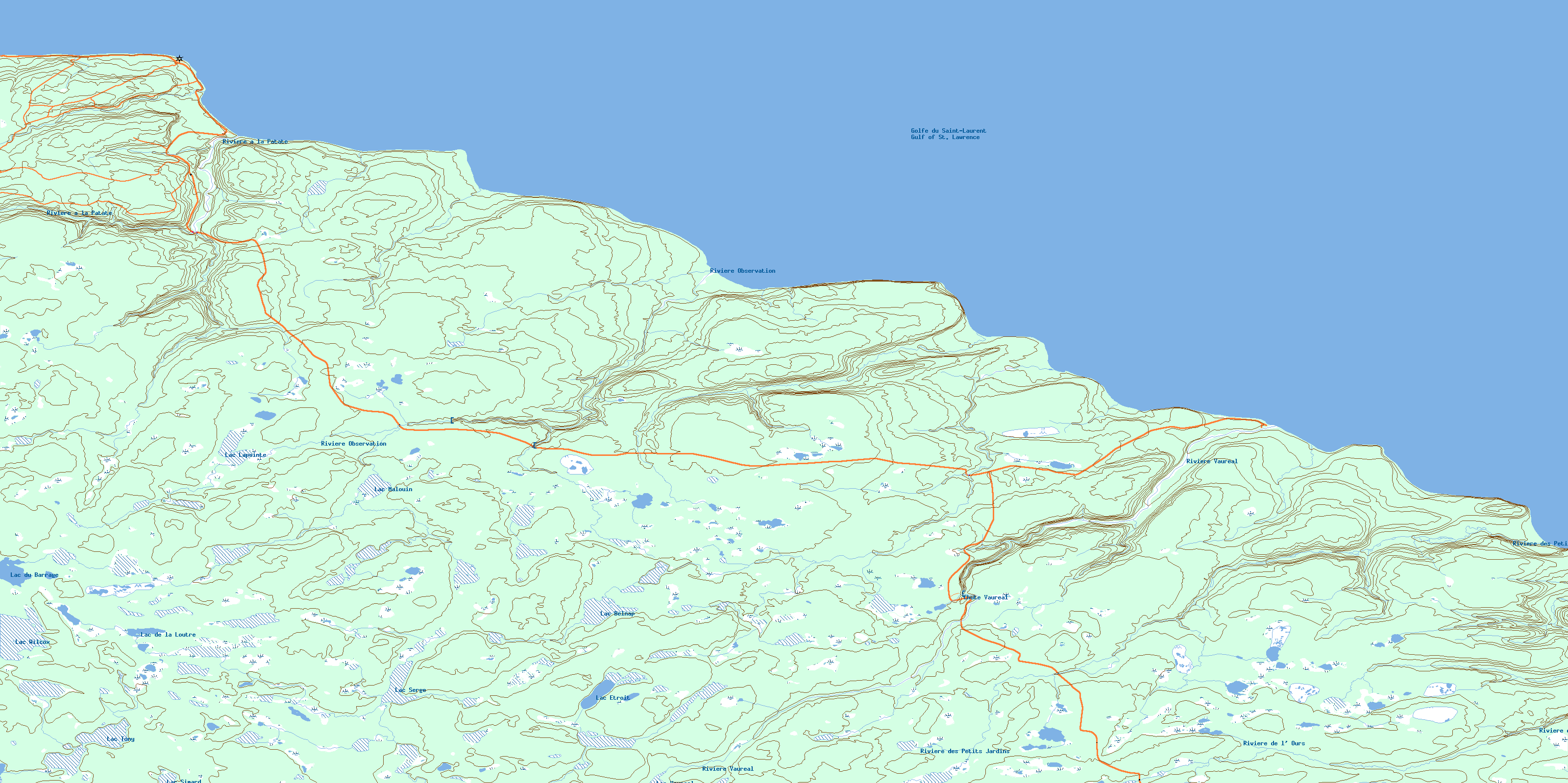
© Department of Natural Resources Canada. All rights reserved.
012E Related Maps:
012E Ile D'Anticosti012E01 Escarpement Bagot
012E02 Riviere Bilodeau
012E03 Riviere Chicotte
012E05 Anse Gibbons
012E06 Riviere Galiote
012E07 Lac Rainsford
012E08 Grande Baie Broom
012E09 Pointe De La Tour
012E10 Pointe Carleton
012E11 Lac Wickenden
012E12 Riviere Au Fusil
012E13 Lac Faure
012E14 Anse De La Sauvagesse
