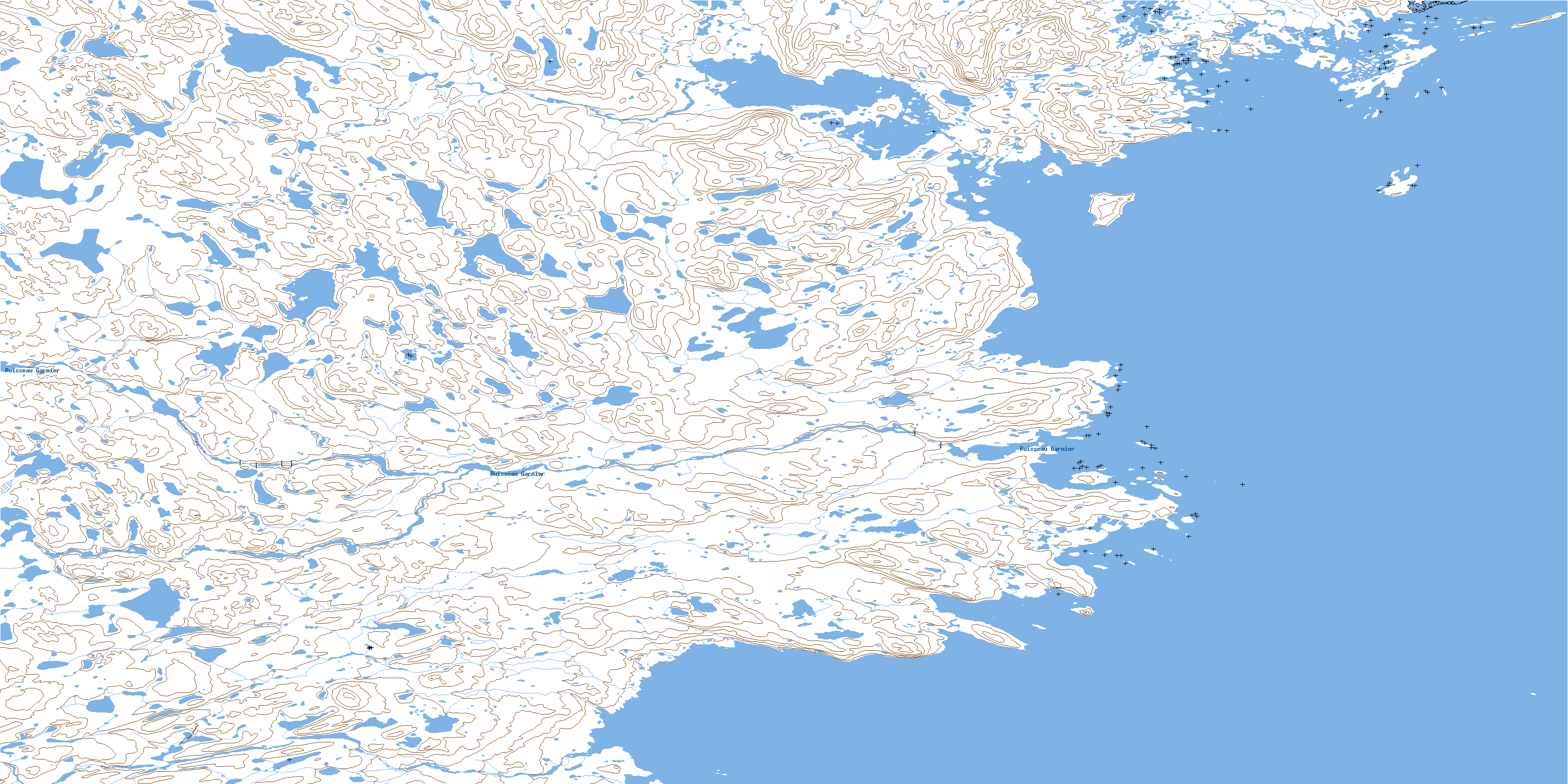
Baie De Roziere Topo Map Online
Download Free Topo Map Sheet 025C12 at 1:50,000 scale
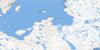
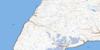
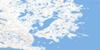
025C12 Baie De Roziere Topo Map
To view this map, mouse over the map preview on the right.
You can also download this topo map for free:
025C12 Baie De Roziere high-resolution topo map image.
Maps for the Baie De Roziere topo map sheet 025C12 at 1:50,000 scale are also available in these versions:
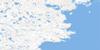
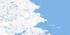
Baie De Roziere Surrounding Area Topo Maps
 |
 |
||
 |
 |
||
 |
 |
||
 |
 |
© Department of Natural Resources Canada. All rights reserved.
Baie De Roziere Gazetteer
The following places can be found on topographic map sheet 025C12 Baie De Roziere:
Baie De Roziere Topo Map: Bays
Anse UmiakkuvikBaie De Rozière
Baie De Rozière
Baie d'Ungava
Baie Kakkiniup Kuungata
Baie Naujaaraarjuup Qullisajanga
Mouillage Umiakkuvik
Baie De Roziere Topo Map: Beaches
Estran TinujjauvikGrève Qainnguluttuq
Grève Qarsutuuq
Grève Qarsutuurusik
Baie De Roziere Topo Map: Miscellaneous campsites
Camp ArvavimmiutCamp Illuvigartalik
Camp Iqaluppilimmiut
Camp Qilalugarsiuvimiut
Camp Sallimiut
Camp Tikirqamiut
Camps Naujaaraarjumiut
Baie De Roziere Topo Map: Capes
Caps ArvavikPéninsule Guindon
Pointe Arvavik
Pointe Qilalugarsiuvik
Pointe Sirmisarniavik
Pointe Tikirqait
Pointe Tikirqait Kangilliit
Pointe Tikirqait Killiit
Pointe Upirngiviarjuk
Baie De Roziere Topo Map: Channels
Passe Ammaluttuup QamaningaBaie De Roziere Topo Map: Cliffs
Coteau MajurajaaqCoteau Sirmisarniavik
Baie De Roziere Topo Map: Falls
Chute IqaluppiliupBaie De Roziere Topo Map: Islands
Ile GuindonÎle Guindon
Île Naujaaraarjuq
Île Pikiulik
Île Qairtuinaq
Île Siurartuurusik
Îles Salumaittuq
Baie De Roziere Topo Map: Lakes
Étangs AtanirtutÉtangs Atanirtuut
Lac Amarurtuuq
Lac Ammaluttuq
Lac Iqaluppilik
Lac Kakkiniq
Lac Kivinilik
Lac Kiviniliup Ungallinga
Lac Nipirqanaq
Lac Qaummajuuq
Lac Sunatuinnalik
Lac Ujarasujjualulik
Lac Umirquriaq
Lacs Amarurtuuq
Petit lac Kivinilik
Baie De Roziere Topo Map: Mountains
Colline AmmaluttuupColline Aqiggisitiit
Colline Kakkiniup
Colline Nasivvik
Colline Nunaliup
Colline Pingurjuarusiq
Colline Qalikallak
Colline Qilalugarsiuviup
Baie De Roziere Topo Map: Plains
Terrasse Nauliup SirmisangaBaie De Roziere Topo Map: Natural resources sites
Carrière Naujaaraarjuup QullisajangaCarrière Qullisalik
Baie De Roziere Topo Map: Rivers
Rivière ArvaviupRivière Kakkiniup
Rivière Upirngiviarjuup
Ruisseau Garnier
Baie De Roziere Topo Map: River features
Confluent KatinniqEmbouchure Tikirqait Kuungat
Baie De Roziere Topo Map: Road features
Piste ArqusiugaqPiste Salliliariaq
Baie De Roziere Topo Map: Unincorporated areas
ArqusiugaqManirainnaat
Nunalik
Nuvulik
Sirmisartalik
© Department of Natural Resources Canada. All rights reserved.
