Plover Islands Topo Map Online
Download Free Topo Map Sheet 025C05 at 1:50,000 scale
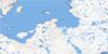
025C05 Plover Islands Topo Map
To view this map, mouse over the map preview on the right.
You can also download this topo map for free:
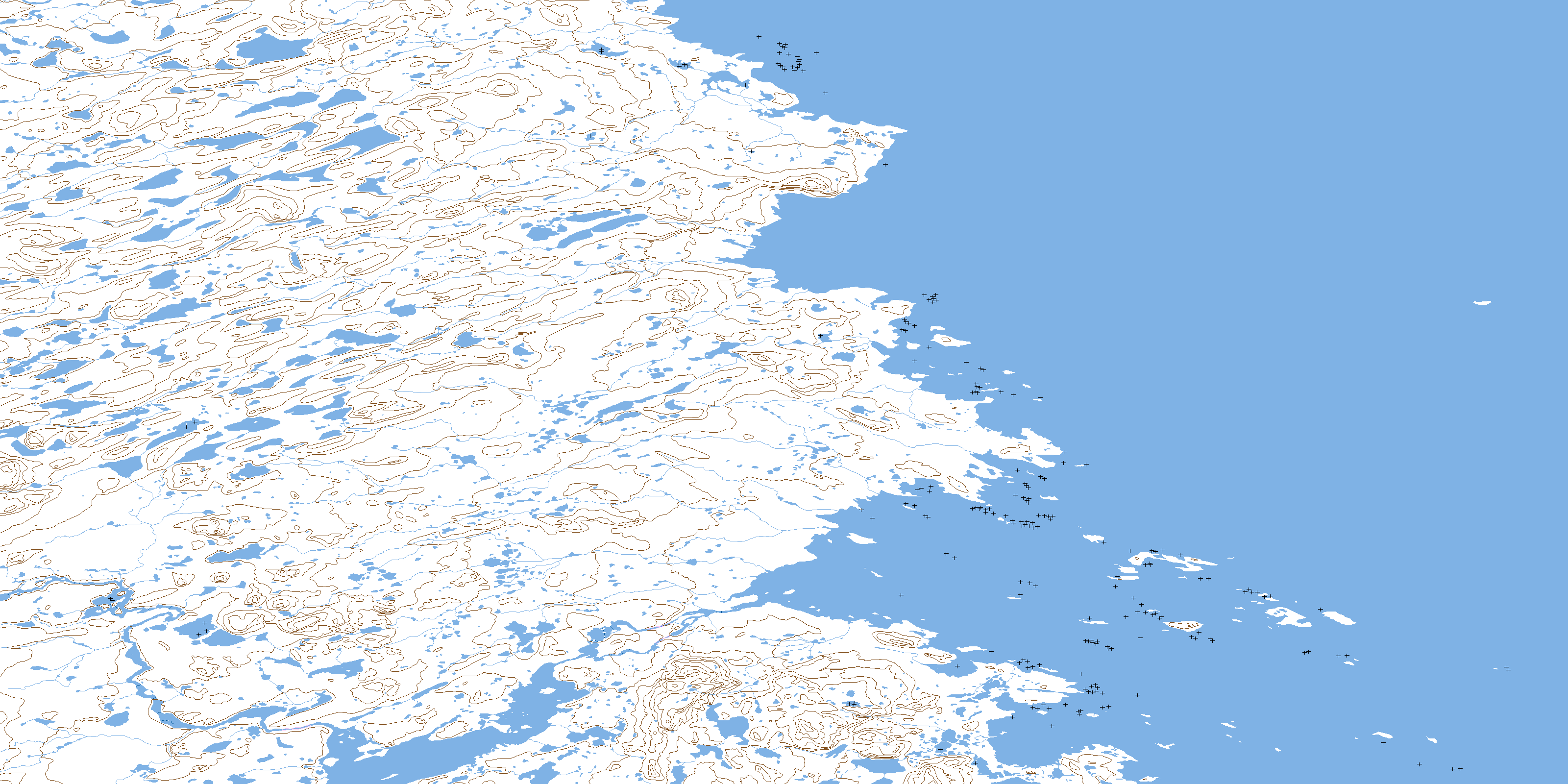
025C05 Plover Islands high-resolution topo map image.
Maps for the Plover Islands topo map sheet 025C05 at 1:50,000 scale are also available in these versions:
Plover Islands Surrounding Area Topo Maps
 |
 |
||
 |
 |
||
 |
 |
||
 |
 |
© Department of Natural Resources Canada. All rights reserved.
Plover Islands Gazetteer
The following places can be found on topographic map sheet 025C05 Plover Islands:
Plover Islands Topo Map: Bays
Baie De RozièreBaie d'Ungava
Baie Pamialluup
Baie Qarsutuurusiq
Baie Qikirtaujaup
Baie Sèche
Dry Bay
Mouillage Qikirtaujaup
Plover Islands Topo Map: Miscellaneous campsites
Camp Illuvigartulik SiqinirsiqCamp Illuvigartulik Tarrasiq
Camp Nunaturliq
Camp Qarqakallalik
Plover Islands Topo Map: Capes
Pointe AtanirtuupPointe Illuvigartulik Siqinirsiq
Pointe Illuvigartulik Tarrasiq
Pointe Nasairtaalavvik
Pointe Qarsutuuq
Pointe Qarsutuurusiq
Pointe Utarqiuvik
Pointes Qikirtaujaq
Plover Islands Topo Map: Falls
Chute QikirtaujaupPlover Islands Topo Map: Islands
Île PikiuliapikÎle Qarsutuurusiq
Île Qillamiluk
Îles Plover
Plover Islands
Plover Islands Topo Map: Lakes
Lac AanalikLac Ammaluaraaluk
Lac Atanirtut
Lac Igussaaraq
Lac Igussaaraq
Lac Igussaaraup
Lac Ikkaruaq
Lac Ikkaruq
Lac Iqalulik
Lac Nirlisiurvik
Lacs Illuvigartuliup
Plover Islands Topo Map: Mountains
Butte IgussaaraqColline Igussaaraq
Colline Illuvigartulik
Colline Qarqaalualuk
Colline Qarqaaluk
Colline Takiluqiup Tarrasiq
Colline Talurjuaq
Colline Tukiluqiup
Dune Ippialuk
Sommets Iviangirnaaq
Plover Islands Topo Map: Rivers
Qikirtaujaup KuungaRivière Aspinall
Rivière Gadois
Rivière Qarsutuurusiq
Tukiluqi
© Department of Natural Resources Canada. All rights reserved.
