Yorkshire Island Topo Map Online
Download Free Topo Map Sheet 030N15 at 1:50,000 scale
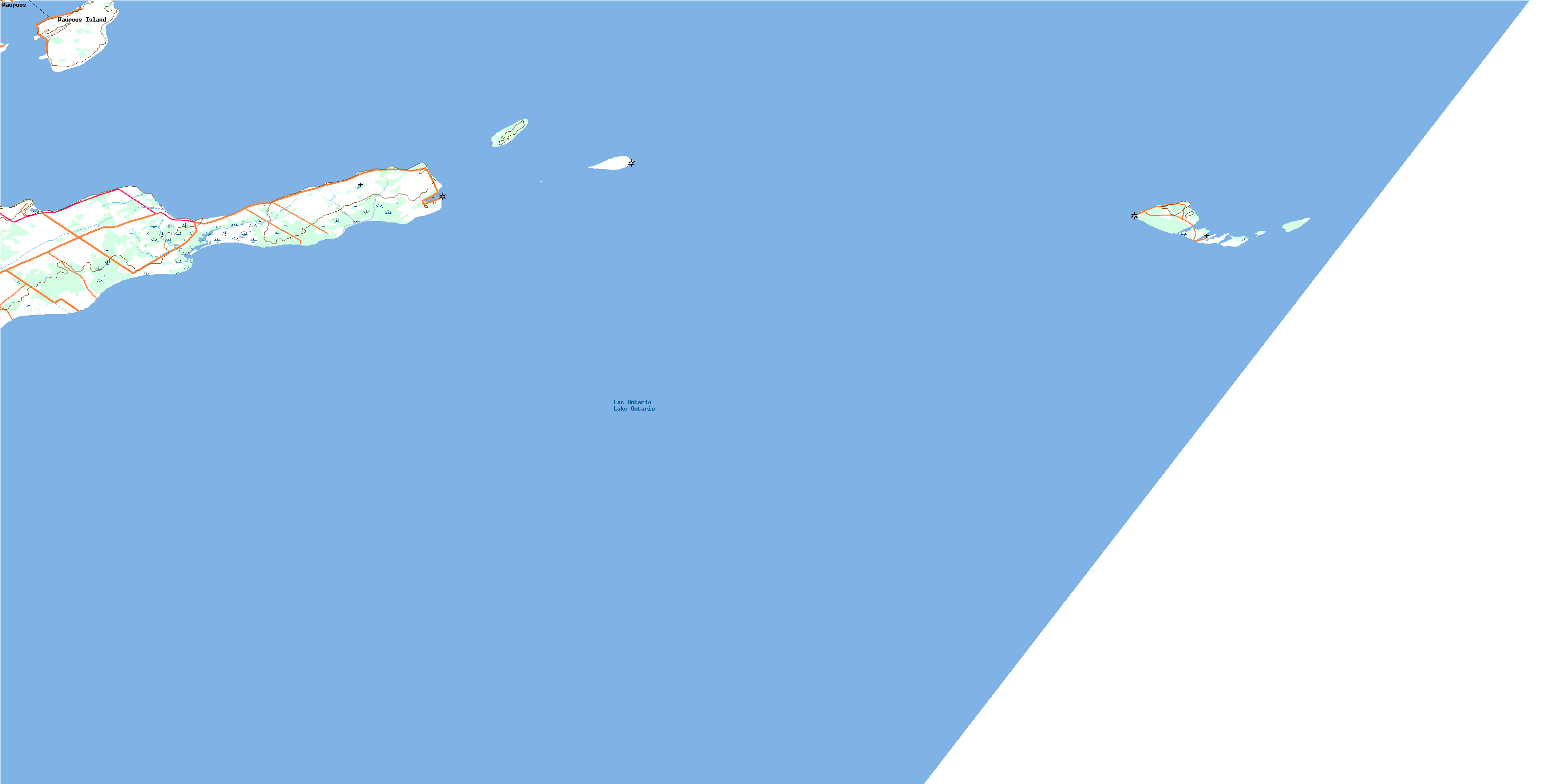
030N15 Yorkshire Island Topo Map
To view this map, mouse over the map preview on the right.
You can also download this topo map for free:
030N15 Yorkshire Island high-resolution topo map image.
Maps for the Yorkshire Island topo map sheet 030N15 at 1:50,000 scale are also available in these versions:
Yorkshire Island Surrounding Area Topo Maps
 |
 |
 |
|
© Department of Natural Resources Canada. All rights reserved.
Yorkshire Island Gazetteer
The following places can be found on topographic map sheet 030N15 Yorkshire Island:
Yorkshire Island Topo Map: Bays
Big Sand BayGravelly Bay
Halfmoon Bay
Long Point Harbour
Prince Edward Bay
Smith Bay
Yorkshire Island Topo Map: Capes
Gravelly PointHalfmoon Point
Little Poplar Point
Long Point
Morrison Point
Ostrander Point
Point Traverse
Poplar Point
Prince Edward Point
Rocky Point
Yorkshire Island Topo Map: City
Prince EdwardYorkshire Island Topo Map: Geographical areas
AtholMarysburgh
North Marysburgh
South Marysburgh
Yorkshire Island Topo Map: Islands
False Ducks IslandFalse Ducks Islands
Main Duck Island
Swetman Island
The Ducks
Timber Island
Waupoos Island
Waupoos Island
Yorkshire Island
Yorkshire Island Topo Map: Lakes
Lac OntarioLake Ontario
Yorkshire Island Topo Map: Mountains
Little BluffYorkshire Island Topo Map: Major municipal/district area - major agglomerations
Lennox and AddingtonYorkshire Island Topo Map: Other municipal/district area - miscellaneous
AmeliasburghAthol
Hallowell
Hillier
Marysburgh
North Marysburgh
Sophiasburgh
South Marysburgh
Yorkshire Island Topo Map: Conservation areas
Prince Edward Point National Wildlife AreaRéserve nationale de faune de la Pointe-Prince-Edward
Timber Island Provincial Nature Reserve
Timber Island Wilderness Area
Yorkshire Island Topo Map: Provinces
OntarioYorkshire Island Topo Map: Shoals
Duck-Galloo RidgeDuckling Reef
False Ducks Bank
Gull Bar
Harris Shoal
Poplar Bar
Preston Reef
Psyche Shoal
Traverse Shoal
William Shoal
Yorkshire Island Topo Map: Unincorporated areas
BalfourPoint Traverse
Waupoos
Waupoos Island
© Department of Natural Resources Canada. All rights reserved.
