Francis Island Topo Map Online
Download Free Topo Map Sheet 032M04 at 1:50,000 scale
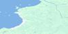
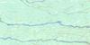
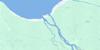
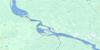
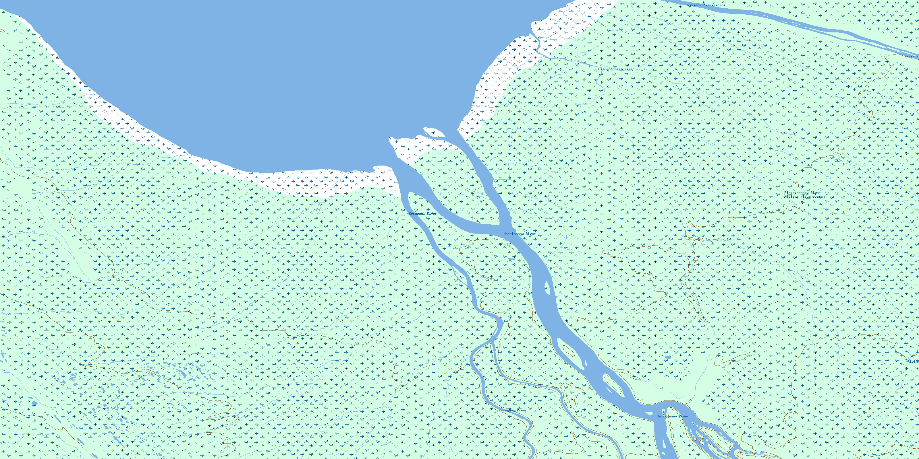
032M04 Francis Island Topo Map
To view this map, mouse over the map preview on the right.
You can also download this topo map for free:
032M04 Francis Island high-resolution topo map image.
Maps for the Francis Island topo map sheet 032M04 at 1:50,000 scale are also available in these versions:
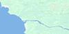
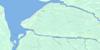
Francis Island Surrounding Area Topo Maps
 |
 |
||
 |
 |
 |
|
 |
 |
 |
 |
 |
 |
 |
 |
© Department of Natural Resources Canada. All rights reserved.
Francis Island Gazetteer
The following places can be found on topographic map sheet 032M04 Francis Island:
Francis Island Topo Map: Bays
Baie JamesHannah Bay
James Bay
Francis Island Topo Map: Capes
Ministikawatin PeninsulaPéninsule Ministikawatin
Francis Island Topo Map: Geographical areas
CochraneFrancis Island Topo Map: Islands
Francis IslandGoose Island
Grassy Island
Low Shoal Island
Olimisk Island
Francis Island Topo Map: Lakes
Drexler LakesFrancis Island Topo Map: Conservation areas
Kesagami Provincial ParkFrancis Island Topo Map: Rivers
Harricanaw RiverKachigaskotik Creek
Kapichilewau Creek
Kaskwestikweyau Creek
Kattawagami River
Kesagami River
Kishipaskeyau Creek
Kwastigam Creek
Lawagamau River
Little Washiskogau Creek
Missisicabi River
Petite rivière Missisicabi
Piscapecassy River
Rivière Missisicabi
Rivière Missisicabi
Rivière Piscapecassy
Shonaniwau Creek
Washiskogau Creek
© Department of Natural Resources Canada. All rights reserved.
032M Related Maps:
032M Fort-Rupert032M01 Riviere Natouacamisie
032M02 Ile D'Herbomez
032M03 Riviere Iscouistic
032M04 Francis Island
032M05 Petite Riviere Missisicabi
032M06 Riviere Octave
032M07 Fort-Rupert
032M08 Colline Jaray
032M09 Colline Pontax
032M10 Pointe Du Bois Brule
032M11 Cabbage Willows Bay
032M15 Boatswain Bay
032M16 Lac Coignan
