Grey Owl Lake Topo Map Online
Download Free Topo Map Sheet 041N08 at 1:50,000 scale
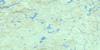
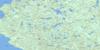
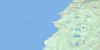
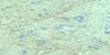
041N08 Grey Owl Lake Topo Map
To view this map, mouse over the map preview on the right.
You can also download this topo map for free:
041N08 Grey Owl Lake high-resolution topo map image.
Maps for the Grey Owl Lake topo map sheet 041N08 at 1:50,000 scale are also available in these versions:
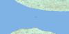
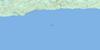
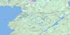
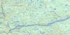
Grey Owl Lake Surrounding Area Topo Maps
 |
 |
 |
 |
 |
 |
 |
|
 |
 |
 |
|
 |
 |
© Department of Natural Resources Canada. All rights reserved.
Grey Owl Lake Gazetteer
The following places can be found on topographic map sheet 041N08 Grey Owl Lake:
Grey Owl Lake Topo Map: Falls
Black Beaver FallsBridal Veil Falls
Montreal Falls
Grey Owl Lake Topo Map: Geographical areas
24,1524,16
24,17
24,18
25,15
25,16
25,17
25,18
26,15
26,16
26,17
26,18
27,16
27,17
27,18
28,15
28,16
28,17
28,18
Algoma
Bullock
Cannard
Corboy
Eaket
Emiry
Greenwood
Grootenboer
Grzela
Hadley
Hallett
Home
Labonte
Larson
Loach
McAughey
McParland
Peever
Raaflaub
Runnalls
Running
Grey Owl Lake Topo Map: Lakes
Alvin LakeArgosy Lake
Asp Lake
Atomic Lake
Barbara Lake
Black Beaver Lake
Bolt Lake
Buddy Lake
Bunny Lake
Carman Lake
Charlie Lake
Convey Lake
Doyle Lake
Dyer Lake
East Lake
Eleven Mile Lake
Glimmer Lake
Graft Lake
Grey Owl Lake
Gunnar Lake
Halfway Lake
Hare Lake
Haze Lake
Honey Lake
Hoppy Lake
Hubert Lake
Indian Lake
Jeff Lake
Lamb Lake
Lawrence Lake
Lionel Lake
Little Agawa Lake
Mackey Lake
Mader Lake
Magnet Lake
Mallot Lake
McCormack Lake
Mobout Lake
Mouton Lake
Nature Lake
Nesbitt Lake
Nomad Lake
North Hubert Lake
Oasis Lake
Pagent Lake
Pan Lake
Pear Lake
Pincney Lake
Pulaski Lake
Rabbit Lake
Railway Lake
Raindrop Lake
Redcliff Lake
Roderic Lake
Roi Lake
Rotunda Lake
Sad Lake
Saga Lake
Sceptic Lake
Shannon Lake
Sonny Lake
Sou Lake
Speckled Trout Lake
Stan Lake
Starlight Lake
Tikamaganda Lake
Towabanasay Lake
Union Lake
West Lake
Whistle Lake
Grey Owl Lake Topo Map: Conservation areas
Lake Superior Provincial ParkNorth Montreal River Moraine Conservation Reserve
Grey Owl Lake Topo Map: Rivers
Agawa RiverAlder Creek
Batchawana River
Convey Creek
Dixon Creek
Eleven Mile Creek
Hoppy Creek
Indian River
Jeff Creek
Little Agawa River
Montreal River
Quinn River
Rabbit Creek
Sonny Creek
St. Clair Creek
Tikamaganda River
Vacher Creek
Grey Owl Lake Topo Map: Unincorporated areas
CanyonHubert
Montreal Falls
Grey Owl Lake Topo Map: Valleys
Agawa Canyon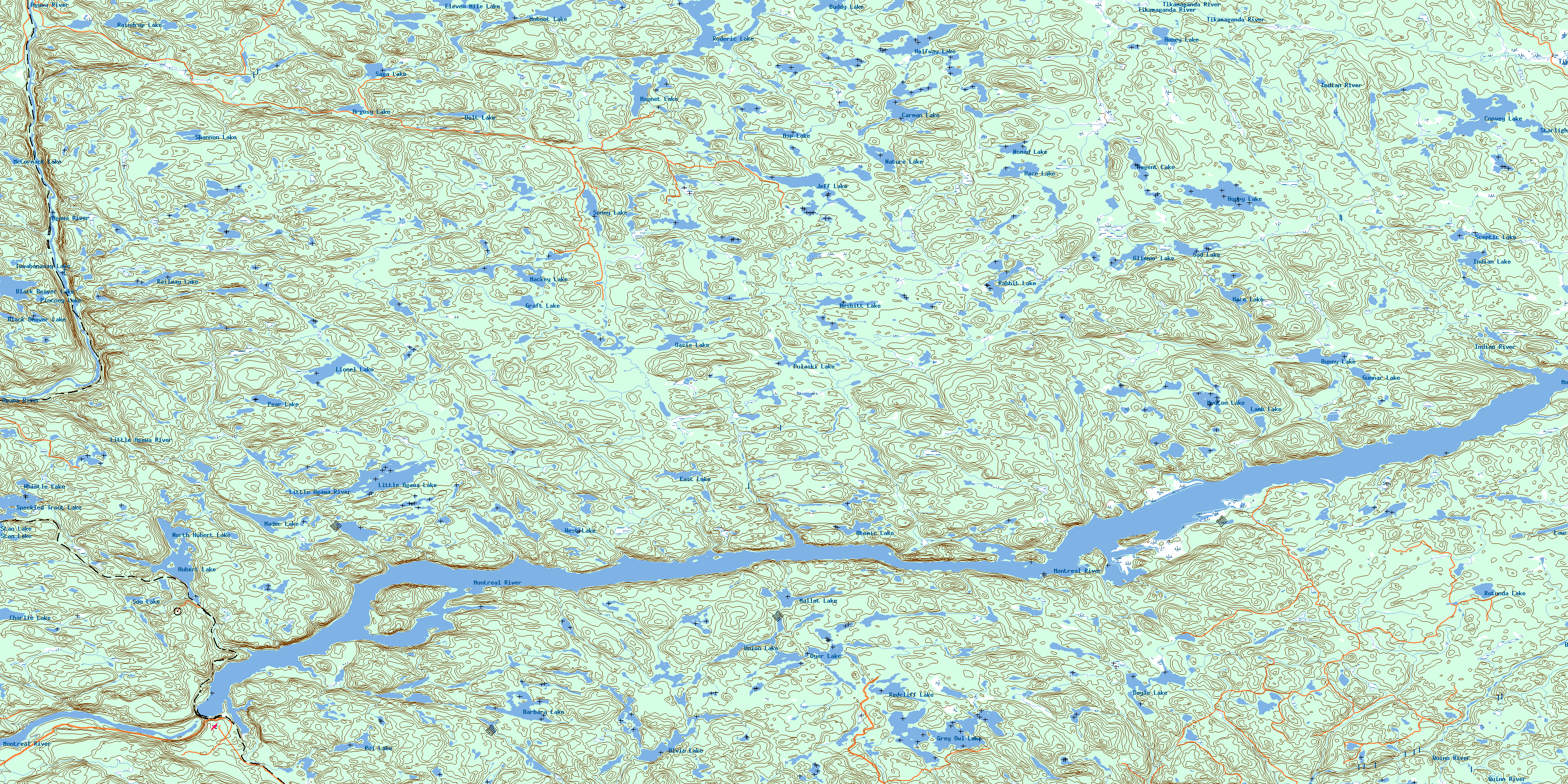
© Department of Natural Resources Canada. All rights reserved.
