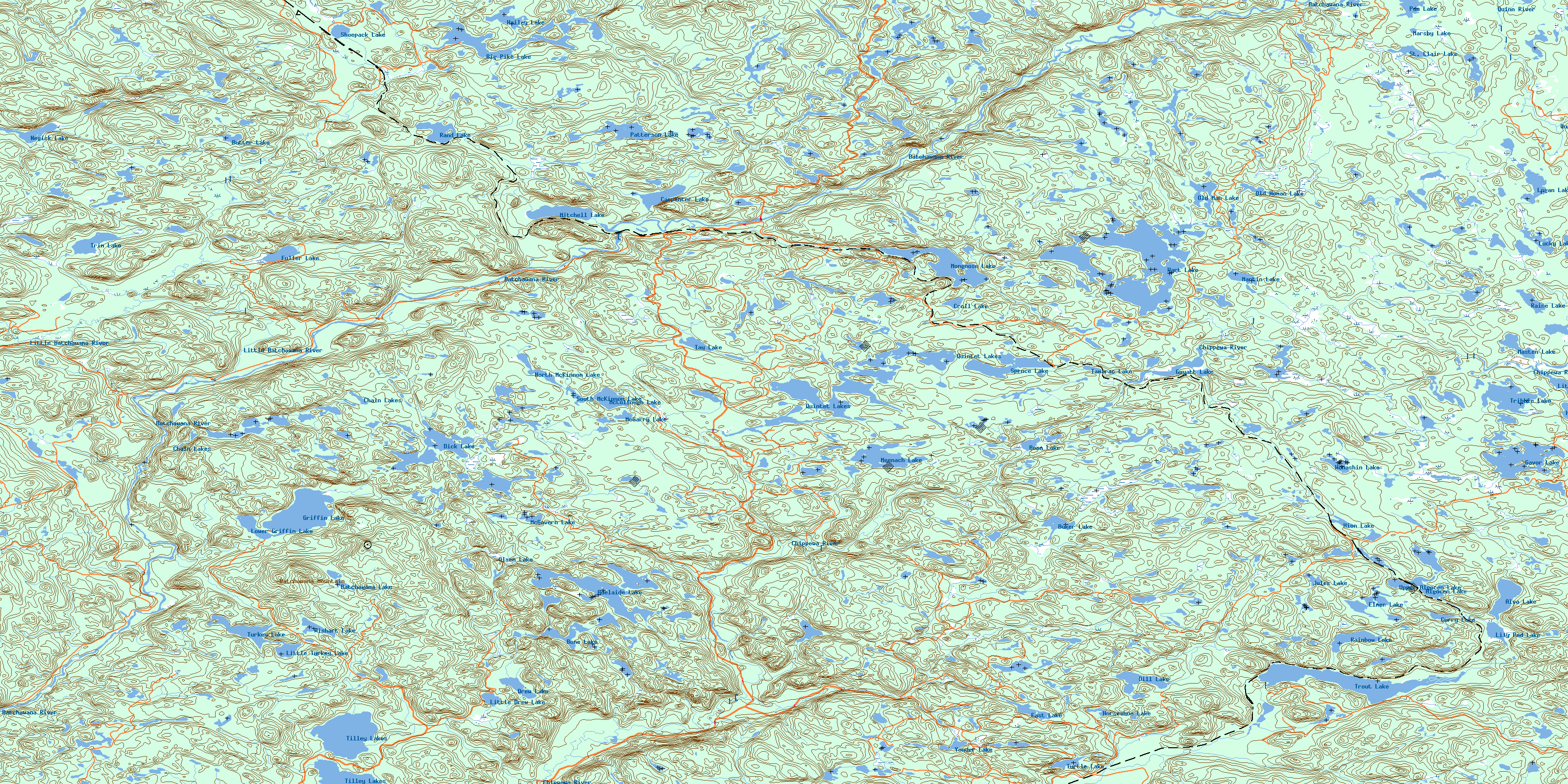
Batchewana Topo Map Online
Download Free Topo Map Sheet 041N01 at 1:50,000 scale
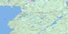
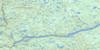
041N01 Batchewana Topo Map
To view this map, mouse over the map preview on the right.
You can also download this topo map for free:
041N01 Batchewana high-resolution topo map image.
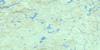
Maps for the Batchewana topo map sheet 041N01 at 1:50,000 scale are also available in these versions:
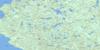
Batchewana Surrounding Area Topo Maps
 |
 |
 |
 |
 |
 |
 |
|
 |
 |
 |
|
 |
 |
© Department of Natural Resources Canada. All rights reserved.
Batchewana Gazetteer
The following places can be found on topographic map sheet 041N01 Batchewana:
Batchewana Topo Map: Geographical areas
24,1224,13
24,14
24,15
25,12
25,13
25,14
25,15
26,12
26,13
26,14
26,15
27,12
27,13
27,14
28,13
28,14
28,15
Algoma
Brûlé
Dablon
Davieaux
Desbiens
Grenoble
Home
Nicolet
Norberg
Olsen
Palmer
Peever
Raaflaub
Runnalls
Running
Smilsky
Tolmonen
Tronsen
Vibert
Way-White
Wishart
Batchewana Topo Map: Lakes
Adelaide LakeAlgocen Lake
Alva Lake
Batchawana Lake
Big Pike Lake
Bone Lake
Boom Lake
Buker Lake
Butter Lake
Carpenter Lake
Chain Lakes
Croll Lake
Curry Lake
Dick Lake
Dill Lake
Drew Lake
East Lake
Elmer Lake
Fuller Lake
Gavor Lake
Griffin Lake
Guyatt Lake
Hailey Lake
Hion Lake
Horne Lake
Horseshoe Lake
Jules Lake
Lily Pad Lake
Little Drew Lake
Little Horne Lake
Little Turkey Lake
Logan Lake
Lower Griffin Lake
Lucas Lake
Lucky Lake
Lucky Lake
Marshy Lake
Martin Lake
Masten Lake
McCollough Lake
McGarry Lake
McGovern Lake
Meenach Lake
Mitchell Lake
Mongoose Lake
Negick Lake
North McKinnon Lake
Old Man Lake
Old Woman Lake
Olsen Lake
Pan Lake
Patterson Lake
Quintet Lakes
Rainbow Lake
Raine Lake
Rand Lake
Shoepack Lake
South McKinnon Lake
Spruce Lake
St. Clair Lake
Tamarac Lake
Tay Lake
Tilley Lakes
Toy Lake
Tribble Lake
Trim Lake
Trout Lake
Turkey Lake
Turtle Lake
Upper Algocen Lake
Wart Lake
Wishart Lake
Wonashin Lake
Yonder Lake
Batchewana Topo Map: Mountains
Batchawana MountainBatchewana Topo Map: Conservation areas
Batchawana River Provincial ParkHarmony Forest Conservation Reserve
O'Connor Conservation Reserve
Batchewana Topo Map: Rivers
Batchawana RiverBig Pike Creek
Browne Creek
Chippewa River
Chippewa River
Drew Creek
East Branch Chippewa River
East Creek
Eldred Creek
Goulais River
Griffin Creek
Harmony River
Little Batchawana River
McDonald Creek
McKinnon Creek
Mongoose Creek
Norberg Creek
North Creek
O'Connor Creek
Quinn River
Quintet Creek
St. Clair Creek
Thompson Creek
Wart Creek
Batchewana Topo Map: Unincorporated areas
AlvaBatchawana
Batchewana
Mashkode
Mekatina
Pangis
Rand
Regent
Summit
Trout Lake
© Department of Natural Resources Canada. All rights reserved.
