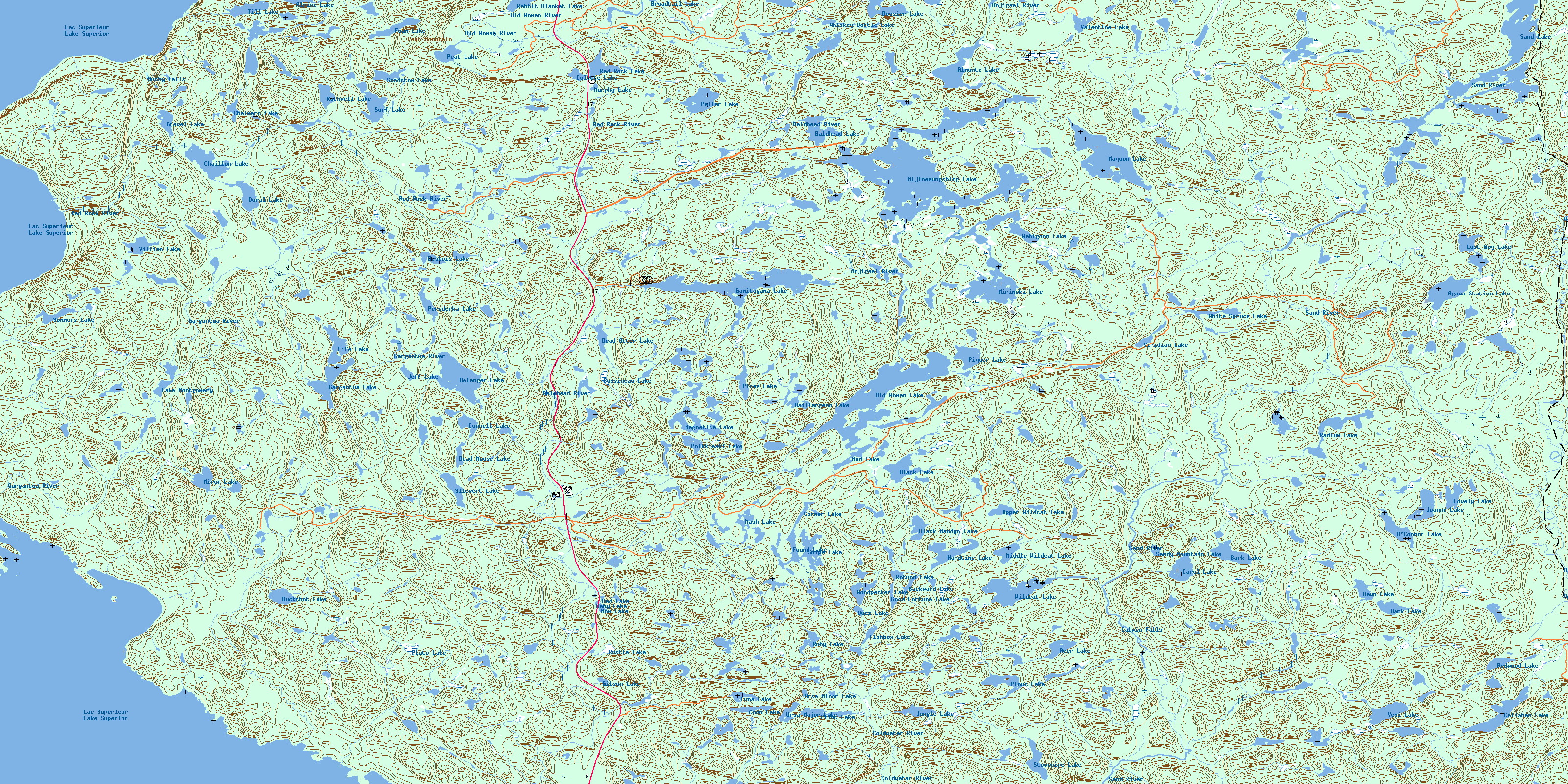
Old Woman Lake Topo Map Online
Download Free Topo Map Sheet 041N10 at 1:50,000 scale
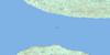
041N10 Old Woman Lake Topo Map
To view this map, mouse over the map preview on the right.
You can also download this topo map for free:
041N10 Old Woman Lake high-resolution topo map image.
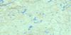
Maps for the Old Woman Lake topo map sheet 041N10 at 1:50,000 scale are also available in these versions:
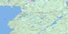
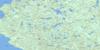
Old Woman Lake Surrounding Area Topo Maps
 |
 |
 |
 |
 |
 |
 |
|
 |
 |
 |
|
 |
 |
© Department of Natural Resources Canada. All rights reserved.
Old Woman Lake Gazetteer
The following places can be found on topographic map sheet 041N10 Old Woman Lake:
Old Woman Lake Topo Map: Bays
Beatty CoveBushy Bay
Gargantua Bay
Gargantua Harbour
The North Arm
Warp Bay
Old Woman Lake Topo Map: Capes
Grindstone PointOld Woman Lake Topo Map: Falls
Bushy FallsCalwin Falls
Old Woman Lake Topo Map: Geographical areas
28,1828,19
28,20
28,21
29,18
29,19
29,20
29,21
30,18
30,19
30,20
30,21
31,18
31,19
31,20
31,21
Alarie
Algoma
Allouez
Asselin
Barager
Barnes
Bray
Brimacombe
Broome
Bullock
LaRonde
Peterson
Redsky
Restoule
Stone
Stoney
Tiernan
Old Woman Lake Topo Map: Islands
Burnt IslandChalfant Island
Devils Warehouse Island
Devil's Warehouse Island
Dixon Island
Far Island
Fawcett Island
Gargantua Island
Peerless Island
Wilde Island
Old Woman Lake Topo Map: Lakes
Acer LakeAgawa Station Lake
Almonte Lake
Alpine Lake
Baby Lake
Backward Lake
Baillargeon Lake
Baldhead Lake
Bark Lake
Belanger Lake
Black Lake
Black Mandyn Lake
Broadtail Lake
Buckshot Lake
Bussineau Lake
Buzz Lake
Callahan Lake
Carol Lake
Castor Ponds
Chaillon Lake
Chalmers Lake
Colette Lake
Connell Lake
Coon Lake
Corner Lake
Dad Lake
Dark Lake
Dawn Lake
Dead Moose Lake
Dead Otter Lake
Desbois Lake
Dossier Lake
Dural Lake
Fife Lake
Fishbox Lake
Foam Lake
Found Lake
Gamitagama Lake
Gargantua Lake
Gibson Lake
Good Fortune Lake
Gravel Lake
Hardtime Lake
Jeff Lake
Joanne Lake
Jungle Lake
Kiigo Pond
Lac Supérieur
Lake Montgomery
Lake Superior
Lost Boy Lake
Lovely Lake
Luna Lake
Magnetite Lake
Maquon Lake
Mash Lake
Middle Wildcat Lake
Mijinemungshing Lake
Mirimoki Lake
Miron Lake
Mom Lake
Mud Lake
Murphy Lake
O'Connor Lake
Old Woman Lake
Peat Lake
Peller Lake
Perederka Lake
Picea Lake
Pilot Lake
Pinus Lake
Piquer Lake
Plato Lake
Poikkimaki Lake
Rabbit Blanket Lake
Radium Lake
Rathwell Lake
Red Rock Lake
Redwood Lake
Rotund Lake
Ruby Lake
Rustle Lake
Sand Lake
Sandy Mountain Lake
Slievert Lake
Snipe Lake
Sommers Lake
Stovepipe Lake
Sundstom Lake
Surf Lake
Till Lake
Upper Wildcat Lake
Ursa Major Lake
Ursa Minor Lake
Valentine Lake
Vesi Lake
Villian Lake
Viridian Lake
Wabigoon Lake
Whiskey Bottle Lake
White Spruce Lake
Wildcat Lake
Woodpecker Lake
Old Woman Lake Topo Map: Mountains
Gargantua HillGrangousier Hill
Peat Mountain
Old Woman Lake Topo Map: Conservation areas
Lake Superior Provincial ParkOld Woman Lake Topo Map: Rivers
Agawa RiverAnjigami River
Anjigomi River
Baldhead River
Buckshot Creek
Coldwater River
East Branch Baldhead River
Gargantua River
Kasubeck Creek
Maquon Creek
Mine Creek
Ogas Creek
Parch Creek
Red Rock River
Sand River
South Old Woman River
Old Woman Lake Topo Map: Unincorporated areas
AgawaGargantua
O'Connor
© Department of Natural Resources Canada. All rights reserved.
