Lemberg Topo Map Online
Download Free Topo Map Sheet 062L11 at 1:50,000 scale
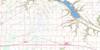
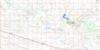
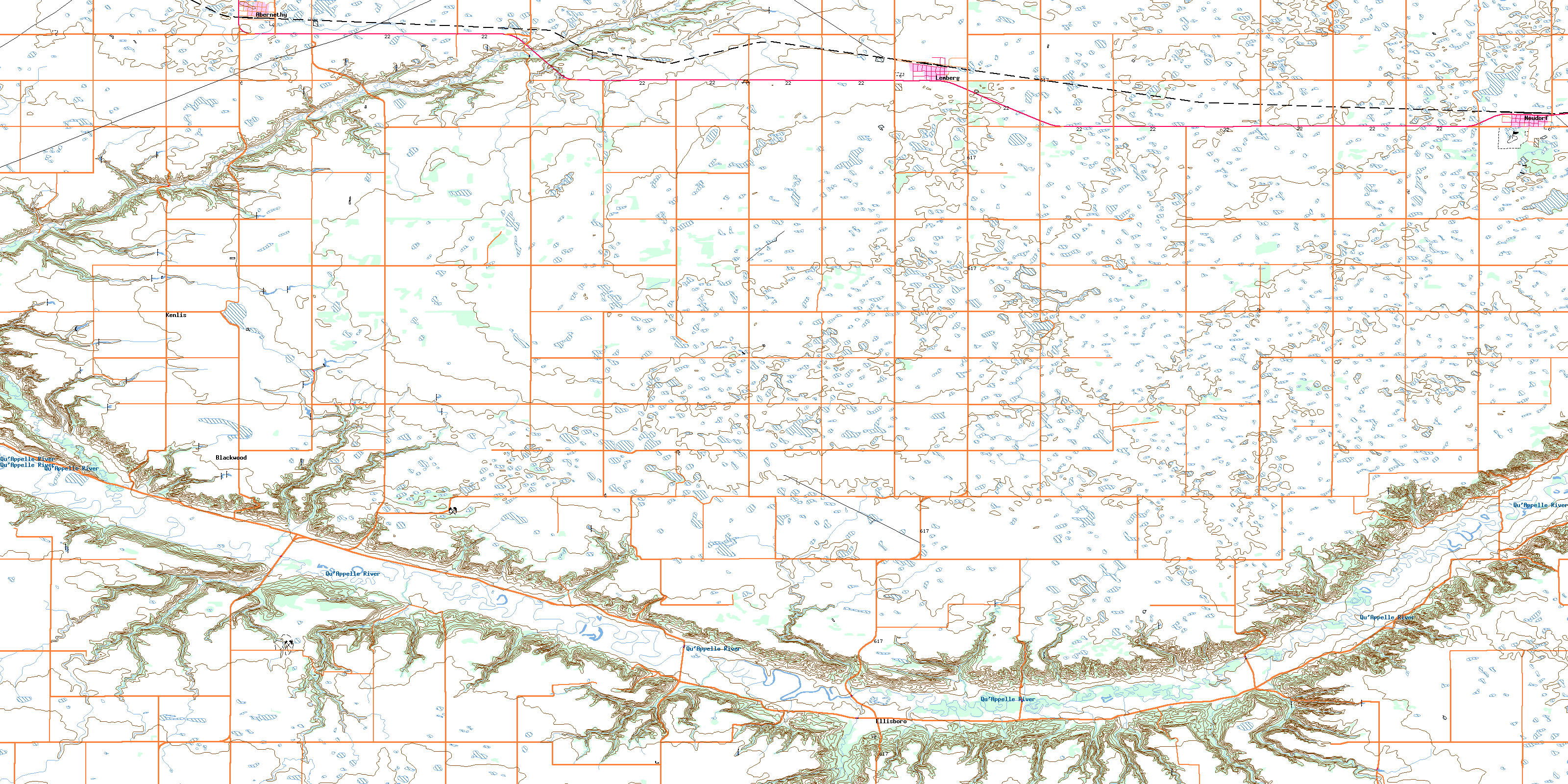
062L11 Lemberg Topo Map
To view this map, mouse over the map preview on the right.
You can also download this topo map for free:
062L11 Lemberg high-resolution topo map image.
Maps for the Lemberg topo map sheet 062L11 at 1:50,000 scale are also available in these versions:
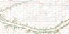
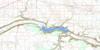
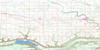
Lemberg Surrounding Area Topo Maps
 |
 |
 |
 |
 |
 |
 |
 |
 |
 |
 |
 |
 |
 |
 |
 |
© Department of Natural Resources Canada. All rights reserved.
Lemberg Gazetteer
The following places can be found on topographic map sheet 062L11 Lemberg:
Lemberg Topo Map: Indian Reserves
Okanese 82HOkanese 82N
Lemberg Topo Map: Mountains
Pheasant HillsLemberg Topo Map: Other municipal/district area - miscellaneous
Abernethy No. 186Indian Head No. 156
McLeod No. 185
Wolseley No. 155
Lemberg Topo Map: Conservation areas
Lieu historique national du Canada du Homestead-MotherwellMotherwell Homestead National Historic Site of Canada
Lemberg Topo Map: Rivers
Adair CreekMitchell Creek
Pheasant Creek
Qu'Appelle River
Roselane Creek
Summerberry Creek
Lemberg Topo Map: Towns
LembergLemberg Topo Map: Unincorporated areas
BlackwoodEllisboro
Kenlis
Lemberg Topo Map: Valleys
Blackwood CouleeHoffmann Coulee
Price Coulee
Smith Coulee
Lemberg Topo Map: Villages
AbernethyNeudorf
© Department of Natural Resources Canada. All rights reserved.
