Esterhazy Topo Map Online
Download Free Topo Map Sheet 062L09 at 1:50,000 scale
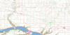
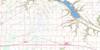
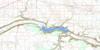
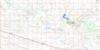
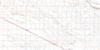
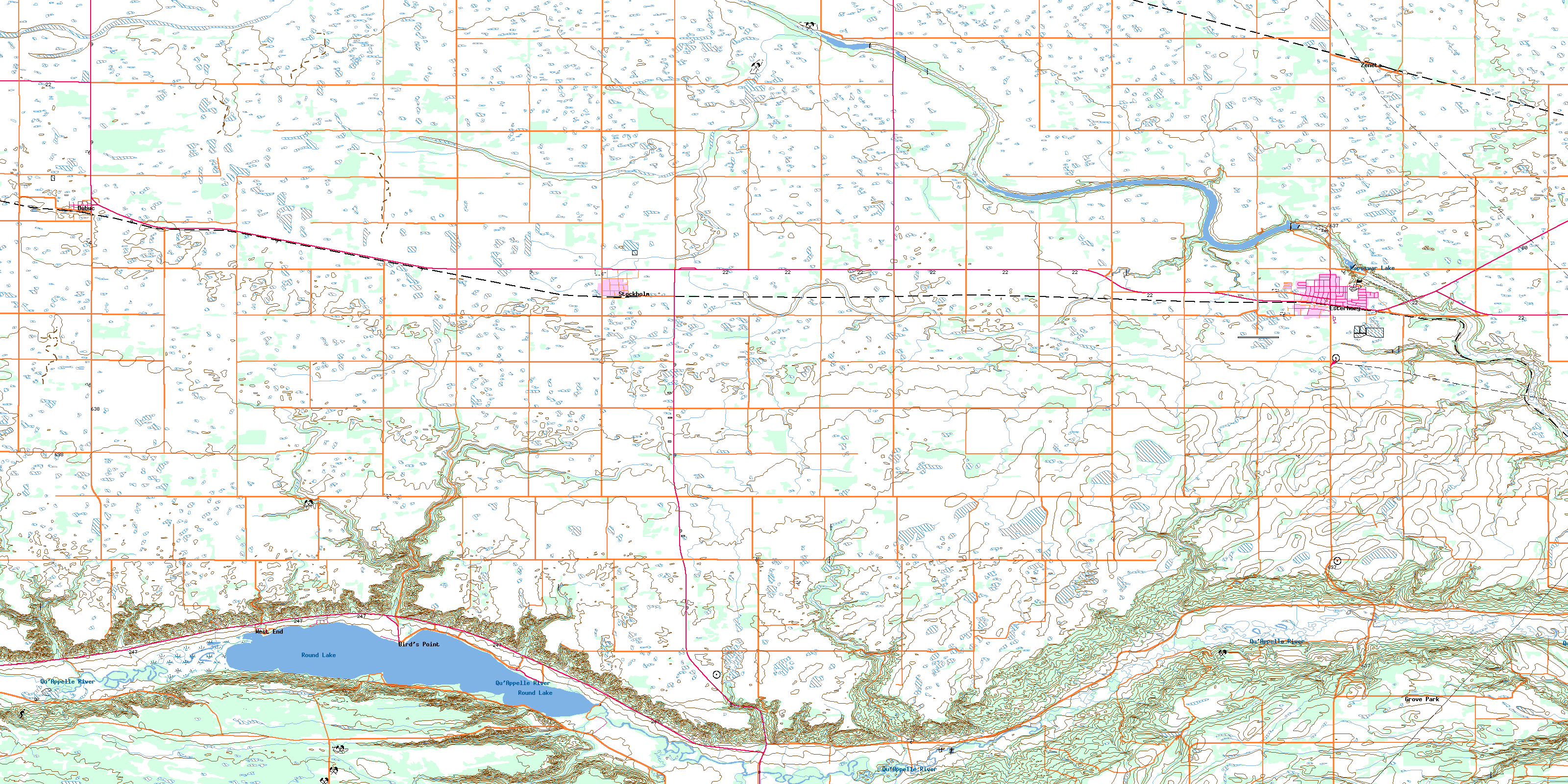
062L09 Esterhazy Topo Map
To view this map, mouse over the map preview on the right.
You can also download this topo map for free:
062L09 Esterhazy high-resolution topo map image.
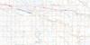
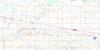
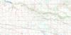
Maps for the Esterhazy topo map sheet 062L09 at 1:50,000 scale are also available in these versions:
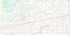
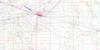
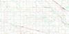
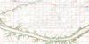
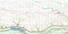
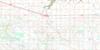
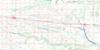
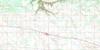
Esterhazy Surrounding Area Topo Maps
 |
 |
 |
 |
 |
 |
 |
 |
 |
 |
 |
 |
 |
 |
 |
 |
© Department of Natural Resources Canada. All rights reserved.
Esterhazy Gazetteer
The following places can be found on topographic map sheet 062L09 Esterhazy:
Esterhazy Topo Map: Hamlets
Espeseth CoveEsterhazy Topo Map: Hydraulic construction
Sumner DamEsterhazy Topo Map: Indian Reserves
Ochapowace 71-101Ochapowace 71-105
Ochapowace 71-120
Ochapowace 71-13
Ochapowace 71-131
Ochapowace 71-14
Ochapowace 71-15
Ochapowace 71-18
Ochapowace 71-21
Ochapowace 71-23
Ochapowace 71-24
Ochapowace 71-25
Ochapowace 71-29
Ochapowace 71-35
Ochapowace 71-36
Ochapowace 71-40
Ochapowace 71-42
Ochapowace 71-43
Ochapowace 71-48
Ochapowace 71-55
Ochapowace 71-6
Ochapowace 71-69
Ochapowace 71-7
Ochapowace 71-72
Ochapowace 71-75
Ochapowace 71-78
Ochapowace 71-8
Ochapowace 71-86
Ochapowace 71-99
Esterhazy Topo Map: Lakes
Kaposvar LakeRound Lake
Esterhazy Topo Map: Other municipal/district area - miscellaneous
Elcapo No. 154Fertile Belt No. 183
Grayson No. 184
Langenburg No. 181
Rocanville No. 151
Spy Hill No. 152
Willowdale No. 153
Esterhazy Topo Map: Conservation areas
Bird's Point Recreation SiteEsterhazy Regional Park
New Stockholm Provincial Historic Site
Esterhazy Topo Map: Rivers
Iskwaohead CreekKaposvar Creek
Qu'Appelle River
Squawhead Creek
Esterhazy Topo Map: Towns
EsterhazyEsterhazy Topo Map: Unincorporated areas
Grove ParkZeneta
Esterhazy Topo Map: Villages
Bird PointBird's Point
Dubuc
Stockholm
West End
© Department of Natural Resources Canada. All rights reserved.
