Grandview Topo Map Online
Download Free Topo Map Sheet 062N02 at 1:50,000 scale
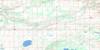
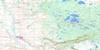
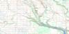
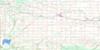
062N02 Grandview Topo Map
To view this map, mouse over the map preview on the right.
You can also download this topo map for free:
062N02 Grandview high-resolution topo map image.
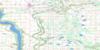
Maps for the Grandview topo map sheet 062N02 at 1:50,000 scale are also available in these versions:
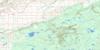
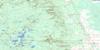
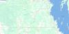
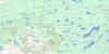
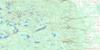
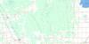
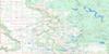
Grandview Surrounding Area Topo Maps
 |
 |
 |
 |
 |
 |
 |
 |
 |
 |
 |
 |
 |
 |
 |
 |
© Department of Natural Resources Canada. All rights reserved.
Grandview Gazetteer
The following places can be found on topographic map sheet 062N02 Grandview:
Grandview Topo Map: Hydraulic construction
Pleasant Valley DamGrandview Topo Map: Indian Reserves
Valley River 63AGrandview Topo Map: Lakes
Cecil LakeDenmark Lake
Eagle Lake
Jarret Lake
Minerva Lake
Pleasant Valley Reservoir
Grandview Topo Map: Mountains
Rose RidgeGrandview Topo Map: Other municipal/district area - miscellaneous
BoultonGrandview
Hillsburg
Shellmouth-Boulton
Grandview Topo Map: Conservation areas
Parc national du Canada du Mont-RidingRiding Mountain National Park of Canada
Grandview Topo Map: Plains
Gilbert PlainsGrandview Topo Map: Rivers
Browns CreekDingwall Creek
Dry Creek
East Wilson River
Gilbert Creek
Harper Creek
Mitchell Creek
Pleasant Valley Creek
Renicker Creek
Short Creek
Silver Creek
Sulphurspring Creek
Takwa Creek
Valley River
West Wilson River
Wilson River
Wilson River
Wilson River
Grandview Topo Map: Road features
Parks RouteRoute des parcs
Grandview Topo Map: Towns
GrandviewGrandview Topo Map: Unincorporated areas
DuttonMeharry
Riding Park
Strevel
Timberton
Umatillo
Valley River Reserve
Grandview Topo Map: Low vegetation
McSherry Slough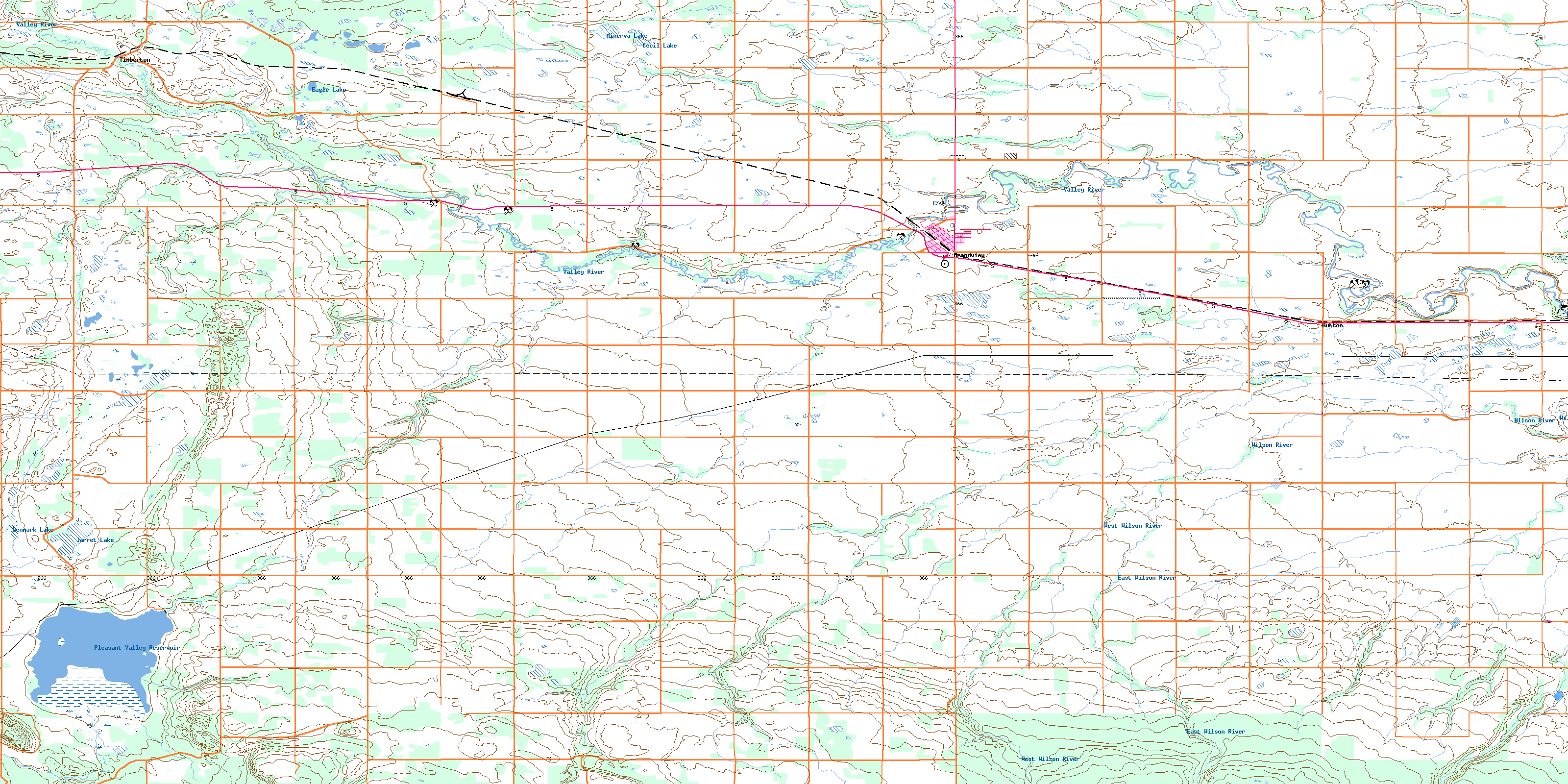
© Department of Natural Resources Canada. All rights reserved.
