Roblin Topo Map Online
Download Free Topo Map Sheet 062N03 at 1:50,000 scale
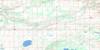
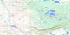
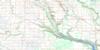
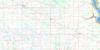
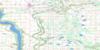
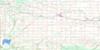
062N03 Roblin Topo Map
To view this map, mouse over the map preview on the right.
You can also download this topo map for free:
062N03 Roblin high-resolution topo map image.
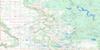
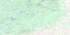
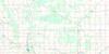
Maps for the Roblin topo map sheet 062N03 at 1:50,000 scale are also available in these versions:
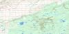
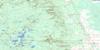
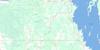
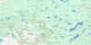
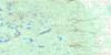
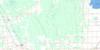
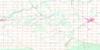
Roblin Surrounding Area Topo Maps
 |
 |
 |
 |
 |
 |
 |
 |
 |
 |
 |
 |
 |
 |
 |
 |
© Department of Natural Resources Canada. All rights reserved.
Roblin Gazetteer
The following places can be found on topographic map sheet 062N03 Roblin:
Roblin Topo Map: Capes
Pyotts PointRoblin Topo Map: Indian Reserves
Valley River 63ARoblin Topo Map: Lakes
Arnott LakesBench Lake
Bisgrove Lake
Bluewing Lake
Calcutt Lake
Cee Lake
Charles Lake
Clearwater Lake
Coot Lake
Craw Lake
Diamond Lake
Duck Lake
Elbow Lake
Gilbert Lake
Goods Lake
Goose Lakes
Harrop Lakes
Hromlacks Lakes
Iftodi Lake
Jaasund Lake
Kerr Lake
Kitsch Lake
Komishens Lake
Komishins Lake
Lake of the Prairies
Leech Lake
Longdens Lake
McArthur Lake
Melosinskys Lake
Minas Lake
Morisette Lake
Nevistiuk Lake
Norma Lake
Norway Lake
Oddfellow Lake
Old Womans Lake
Olsons Lake
Onofriechuk Lake
Oseski Lake
Pleasant Valley Lake
Reed Bird Lake
Roblin Lakes
Snake Lake
Snowdon Lake
Squance Lake
Stephens Lake
Tern Lake
Wenners Lake
Whiteway Lake
Wiltshire Lake
Wincell Lake
Roblin Topo Map: Mountains
Bodnaruk HillCase Hill
Dropmore Hill
Mitchells Hill
Skinner Hill
Roblin Topo Map: Other municipal/district area - miscellaneous
BoultonHillsburg
Shell River
Shellmouth
Shellmouth-Boulton
Roblin Topo Map: Rivers
Assiniboine RiverBell Creek
Gilbert Creek
Pleasant Valley Creek
Shell River
Short Creek
Takwa Creek
Roblin Topo Map: Road features
Parks RouteRoute des parcs
Roblin Topo Map: Towns
RoblinRoblin Topo Map: Unincorporated areas
BieldBluewing
Dropmore
Petlura
Shell Valley
Shevlin
Shortdale
Tummel
Twin Brae
Roblin Topo Map: Low vegetation
Bluewing Swamp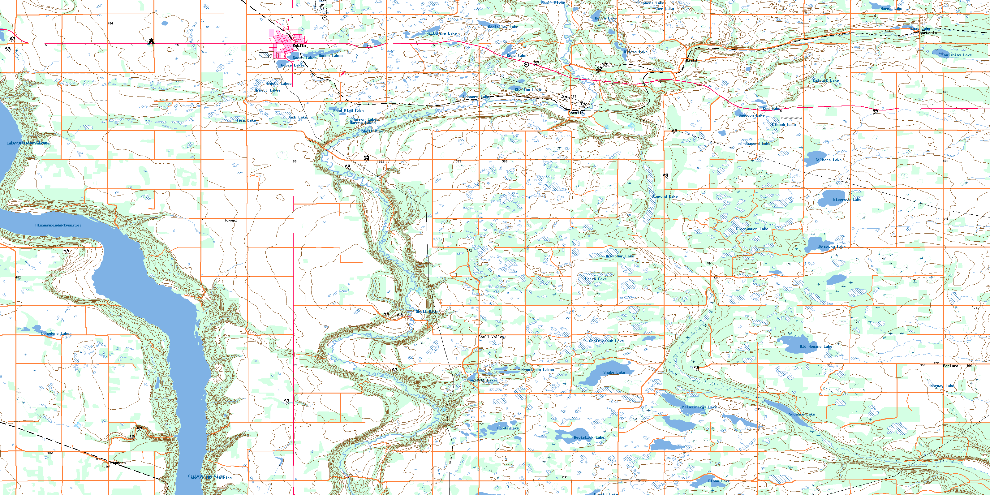
© Department of Natural Resources Canada. All rights reserved.
