Denare Beach Topo Map Online
Download Free Topo Map Sheet 063L09 at 1:50,000 scale
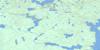
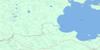
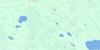
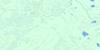
063L09 Denare Beach Topo Map
To view this map, mouse over the map preview on the right.
You can also download this topo map for free:
063L09 Denare Beach high-resolution topo map image.
Maps for the Denare Beach topo map sheet 063L09 at 1:50,000 scale are also available in these versions:
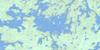
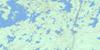
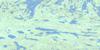
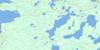
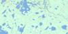
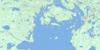
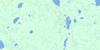
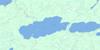
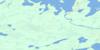
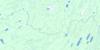
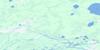
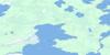
Denare Beach Surrounding Area Topo Maps
 |
 |
 |
 |
 |
 |
 |
 |
 |
 |
 |
 |
 |
 |
 |
 |
© Department of Natural Resources Canada. All rights reserved.
Denare Beach Gazetteer
The following places can be found on topographic map sheet 063L09 Denare Beach:
Denare Beach Topo Map: Bays
Comeback BayGrant Bay
Hannay Bay
McKenzie Bay
Missi Bay
Moody Bay
Muskeg Bay
Muskey Bay
Ospwakun Bay
Sandy Bay
Shwaga Bay
Soeder Bay
Denare Beach Topo Map: Capes
Hudson Bay PointDenare Beach Topo Map: Channels
East ChannelNorth Channel
West Channel
Denare Beach Topo Map: Indian Reserves
Amisk Lake 184Denare Beach Topo Map: Islands
Angell IslandCarpenter Island
Casey Island
Chamney Island
Chase Island
Craig Island
Crater Island
Eaton Island
Fenton Island
Gauthier Island
Ham Island
Hannay Island
Hayes Island
Ing Island
Iskwasoo Island
Lookout Island
McGown Island
Missi Island
Newfoundland Island
Parker Island
Soeder Island
Sparling Island
Torrington Island
Vances Island
Waverley Island
Wilson Island
Winterton Island
Denare Beach Topo Map: Lakes
Amisk LakeBalsam Lake
Barney Lake
Birch Lake
Brain Lake
Brutus Lake
Burton Lake
Cable Lake
Carson Lake
Cougal Lake
Echo Lake
Errington Lake
Hambly Lake
Jardine Lake
Konuto Lake
Laural Lake
Magdalen Lake
Maraiche Lake
McMurdo Lake
McNally Lake
Meaney Lake
Mosher Lake
Neagle Lake
Oddan Lake
Phil Lake
Ramble Lake
Reynard Lake
Ruth Lake
Shkwarok Lake
Stitt Lake
Table Lake
Tanyss Lake
Usinne Lake
Wolf Lake
Wolverine Lake
Denare Beach Topo Map: Military areas
Canadian Forces Station Flin FlonStation des Forces canadiennes Flin Flon
Denare Beach Topo Map: Conservation areas
Amisk Lake Recreation SiteMeridian Creek Recreation Site
Denare Beach Topo Map: Rapids
Spruce RapidsDenare Beach Topo Map: Rivers
Blondeau CreekMeridian Creek
Neagle Creek
Robinson Creek
Sturgeon-weir River
Williams Creek
Denare Beach Topo Map: Villages
Denare Beach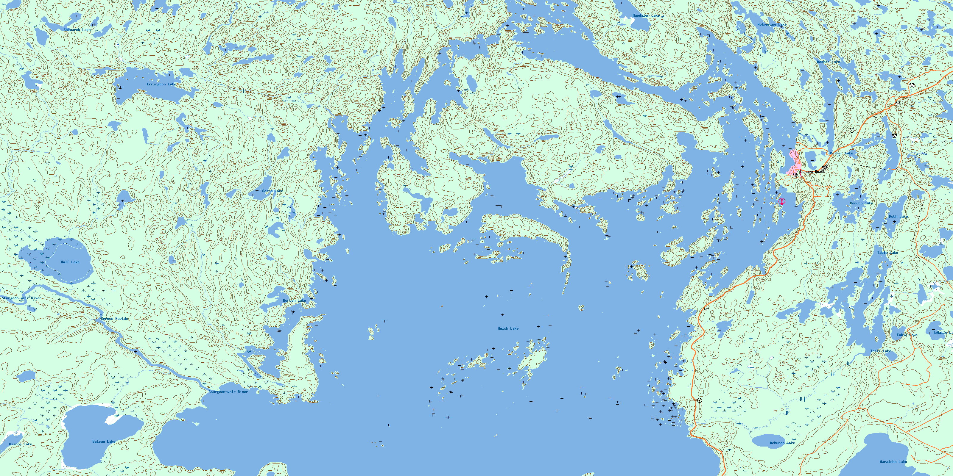
© Department of Natural Resources Canada. All rights reserved.
063L Related Maps:
063L Amisk Lake063L01 Archibald Lake
063L02 Pine Bluff
063L03 Loyns Lake
063L04 Red Bobs Lake
063L05 Seager Wheeler Lake
063L06 Saunders Lake
063L07 Suggi Lake
063L08 Leonard Lake
063L09 Denare Beach
063L10 Hanson Lake
063L11 Limestone Lake
063L12 Ballantyne Bay
063L13 Oskikebuk Lake
063L14 Viney Lake
063L15 Birch Portage
063L16 Annabel Lake
