Landing Lake Topo Map Online
Download Free Topo Map Sheet 063P06 at 1:50,000 scale
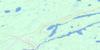
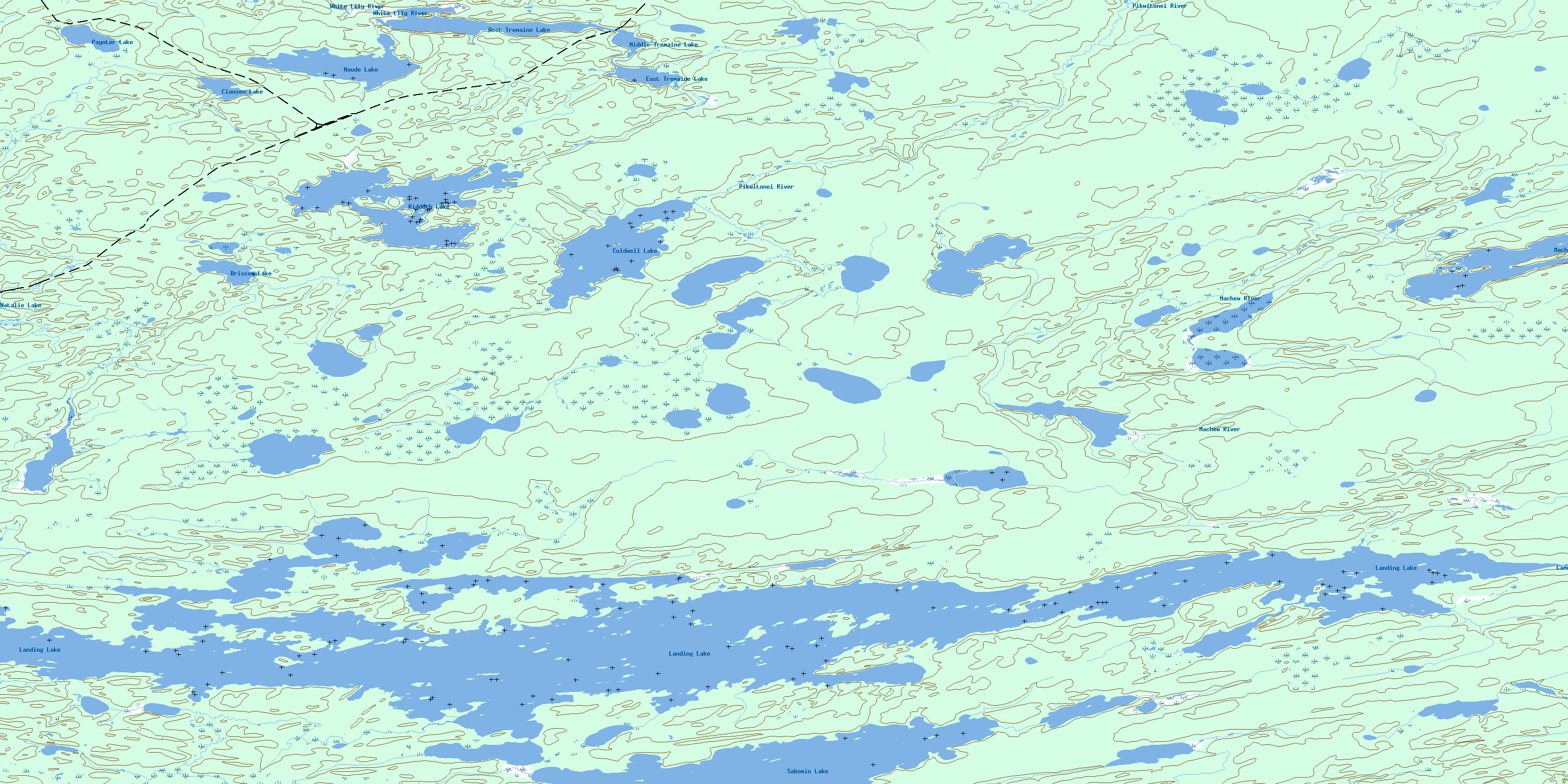
063P06 Landing Lake Topo Map
To view this map, mouse over the map preview on the right.
You can also download this topo map for free:
063P06 Landing Lake high-resolution topo map image.
Maps for the Landing Lake topo map sheet 063P06 at 1:50,000 scale are also available in these versions:
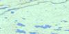
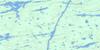
Landing Lake Surrounding Area Topo Maps
 |
 |
 |
 |
 |
 |
 |
 |
 |
 |
 |
 |
 |
 |
 |
 |
© Department of Natural Resources Canada. All rights reserved.
Landing Lake Gazetteer
The following places can be found on topographic map sheet 063P06 Landing Lake:
Landing Lake Topo Map: Bays
Bennett Lewis BayLucky Bay
Landing Lake Topo Map: Islands
Eye IslandFrank Jones Island
Riddoch Island
Shewfelt Island
Landing Lake Topo Map: Lakes
Bottom End LakeBriscoe Lake
Clausen Lake
Coldwell Lake
Dean Williams Lake
Dynamite Lake
East Tremaine Lake
Gurr Lake
Henry Lavallee Lake
Joseph Thorne Lake
Landing Lake
Leslie Williams Lake
Llewellyn Williams Lake
Maude Lake
Middle Tremaine Lake
Natalie Lake
Paynter Lake
Riddoch Lake
Sabomin Lake
Saunderson Lake
Scrooge Lake
Walsby Lake
West Tremaine Lake
Landing Lake Topo Map: Other municipal/district area - miscellaneous
Mystery LakeLanding Lake Topo Map: Rivers
Chatham CreekColdwell Creek
Fleuve Nelson
Landing River
Machew River
Nelson River
Pikwitonei River
White Lily River
Landing Lake Topo Map: Unincorporated areas
SipiweskThompson Junction
© Department of Natural Resources Canada. All rights reserved.
063P Related Maps:
063P Sipiwesk063P01 Allbright Lake
063P02 Cotton Lake
063P03 Bulger Lake
063P04 Mustekapau Lake
063P05 Thicket Portage
063P06 Landing Lake
063P07 German Lake
063P08 Thom Lake
063P09 Bear Head Lake
063P10 Armstrong Lake
063P11 Pikwitonei
063P12 Thompson
063P13 Mystery Lake
063P14 Begg Lake
063P15 Arnot
063P16 Gunn Lake
