Shellbrook Topo Map Online
Download Free Topo Map Sheet 073G01 at 1:50,000 scale
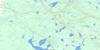
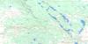
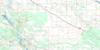
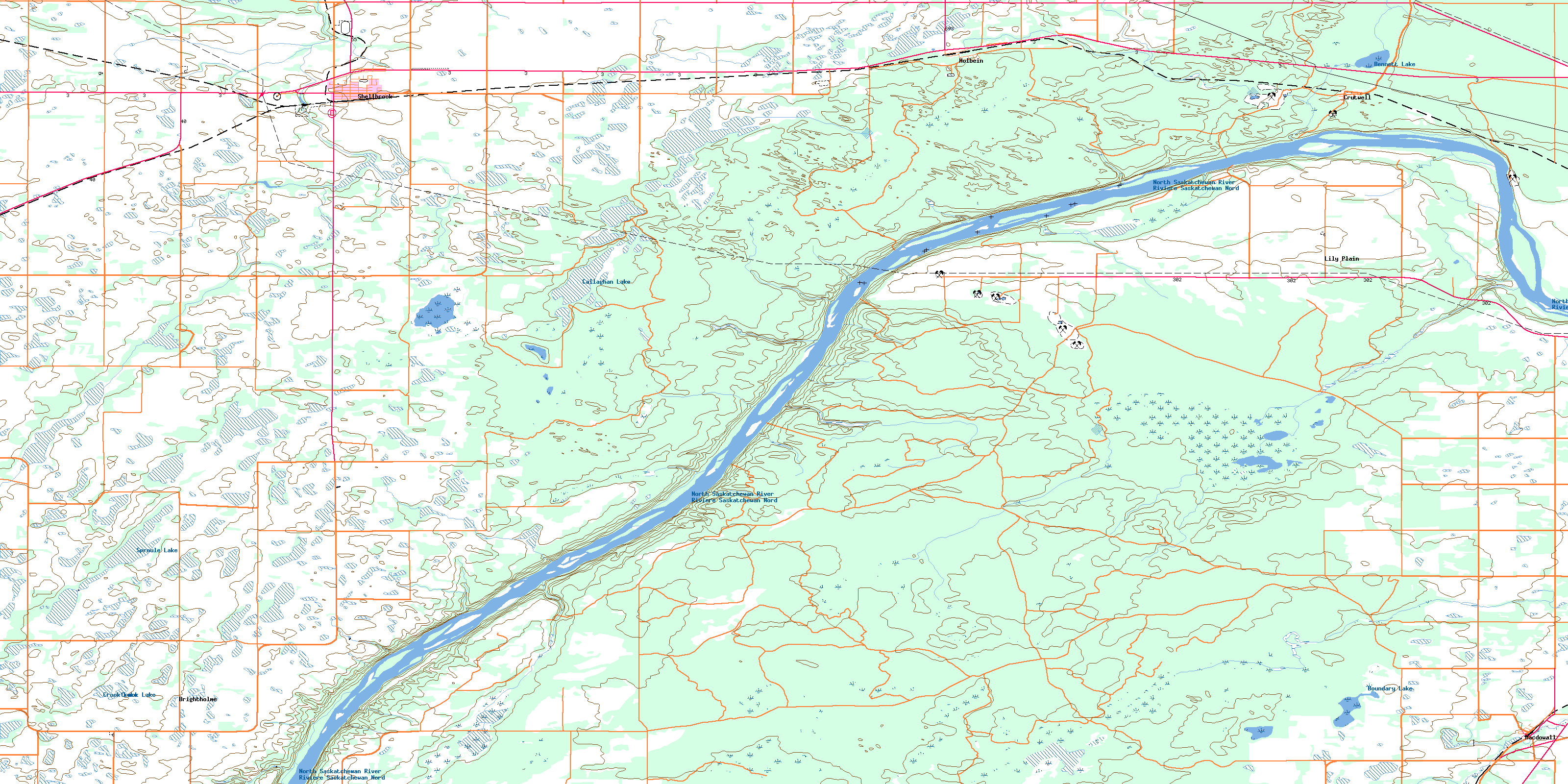
073G01 Shellbrook Topo Map
To view this map, mouse over the map preview on the right.
You can also download this topo map for free:
073G01 Shellbrook high-resolution topo map image.
Maps for the Shellbrook topo map sheet 073G01 at 1:50,000 scale are also available in these versions:
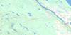
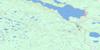
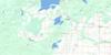
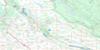
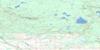
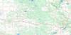
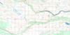
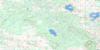
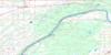
Shellbrook Surrounding Area Topo Maps
 |
 |
 |
 |
 |
 |
 |
 |
 |
 |
 |
 |
 |
 |
 |
 |
© Department of Natural Resources Canada. All rights reserved.
Shellbrook Gazetteer
The following places can be found on topographic map sheet 073G01 Shellbrook:
Shellbrook Topo Map: Hamlets
CrutwellHolbein
Macdowall
Shellbrook Topo Map: Indian Reserves
Kiskaciwan 208Shellbrook Topo Map: Lakes
Bennett LakeBoundary Lake
Callaghan Lake
Castle Lakes
Crook Lake
Ellis Lakes
Holbein Lakes
Sproule Lake
Shellbrook Topo Map: Other municipal/district area - miscellaneous
Buckland No. 491Canwood No. 494
Duck Lake No. 463
Leask No. 464
Prince Albert No. 461
Shellbrook No. 493
Shellbrook Topo Map: Conservation areas
Nisbet Provincial ForestShellbrook Topo Map: Rivers
McFarlane CreekMiners Creek
North Saskatchewan River
Rivière Saskatchewan Nord
Smith Creek
Steep Creek
Shellbrook Topo Map: Towns
ShellbrookShellbrook Topo Map: Unincorporated areas
BrightholmeLily Plain
Prince Albert Settlement
© Department of Natural Resources Canada. All rights reserved.
