Halkett Lake Topo Map Online
Download Free Topo Map Sheet 073G09 at 1:50,000 scale
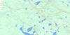
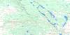
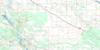
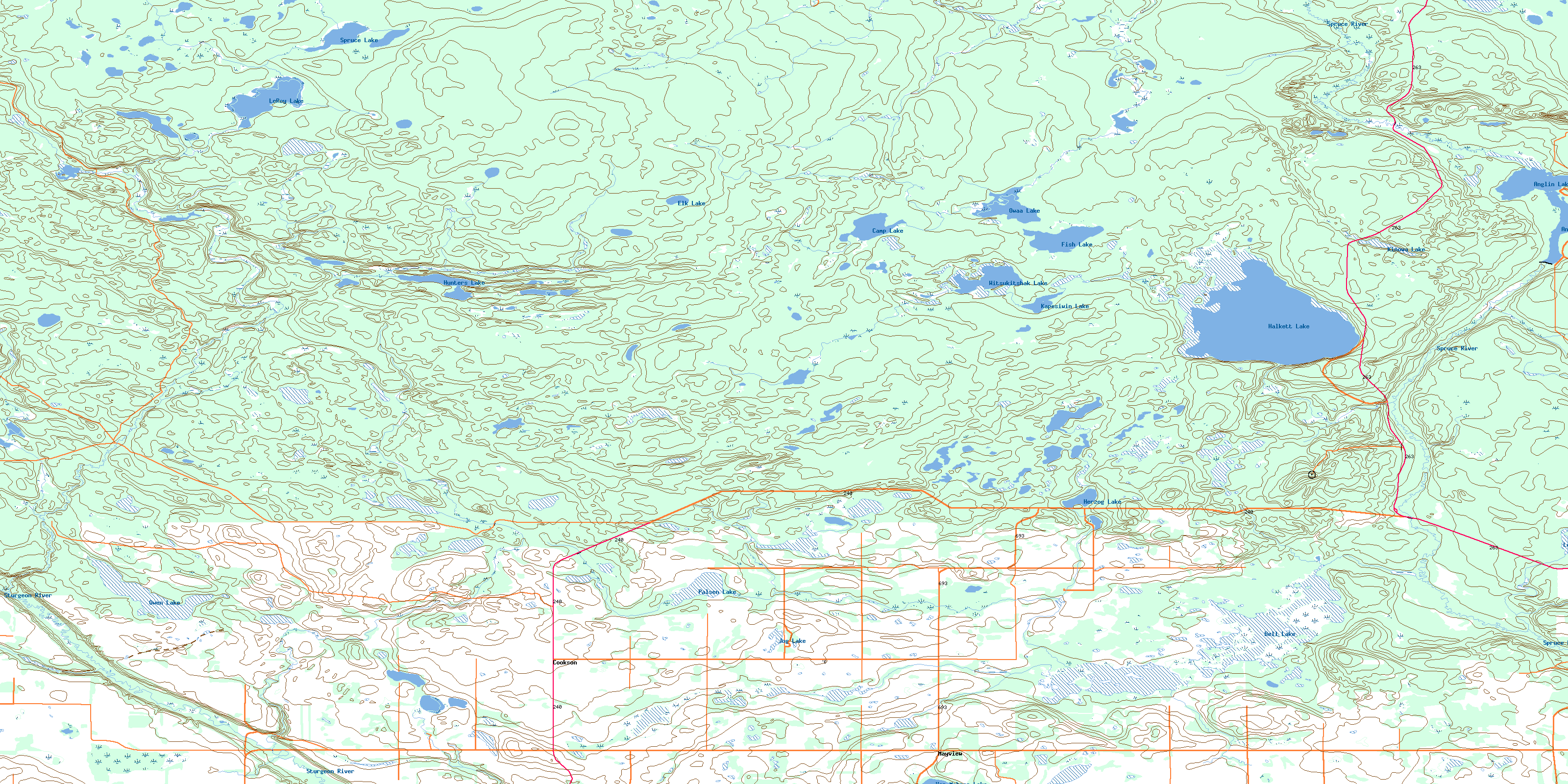
073G09 Halkett Lake Topo Map
To view this map, mouse over the map preview on the right.
You can also download this topo map for free:
073G09 Halkett Lake high-resolution topo map image.
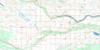
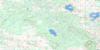
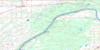
Maps for the Halkett Lake topo map sheet 073G09 at 1:50,000 scale are also available in these versions:
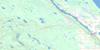
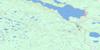
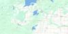
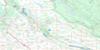
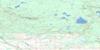
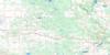
Halkett Lake Surrounding Area Topo Maps
 |
 |
 |
 |
 |
 |
 |
 |
 |
 |
 |
 |
 |
 |
 |
 |
© Department of Natural Resources Canada. All rights reserved.
Halkett Lake Gazetteer
The following places can be found on topographic map sheet 073G09 Halkett Lake:
Halkett Lake Topo Map: Indian Reserves
Little Red River 106DMontreal Lake 106B
Halkett Lake Topo Map: Lakes
Anglin LakeBell Lake
Camp 5 Lake
Camp Lake
Elk Lake
Fish Lake
Fox Lake
Halkett Lake
Herzog Lake
Hunters Lake
Jog Lake
Kapesiwin Lake
Kinowa Lake
Lennox Lake
LeRoy Lake
Owaa Lake
Owen Lake
Palsen Lake
Spruce Lake
Von Mehren Lake
Witsukitshak Lake
Halkett Lake Topo Map: Other municipal/district area - miscellaneous
Canwood No. 494Lakeland No. 521
Paddockwood No. 520
Shellbrook No. 493
Halkett Lake Topo Map: Conservation areas
Anglin Lake Recreation SiteCookson Wildlife Management Unit
Northern Provincial Forest
Parc national du Canada de Prince Albert
Prince Albert National Park of Canada
Halkett Lake Topo Map: Rivers
Bell CreekCowan Creek
Flat Creek
Kitigan Creek
McKenzie Creek
Rabbit Creek
Spruce River
Sturgeon River
Sugar Creek
Halkett Lake Topo Map: Road features
Nimrod Lake TrailHalkett Lake Topo Map: Unincorporated areas
CooksonMayview
© Department of Natural Resources Canada. All rights reserved.
