Leask Topo Map Online
Download Free Topo Map Sheet 073G02 at 1:50,000 scale
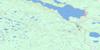
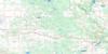
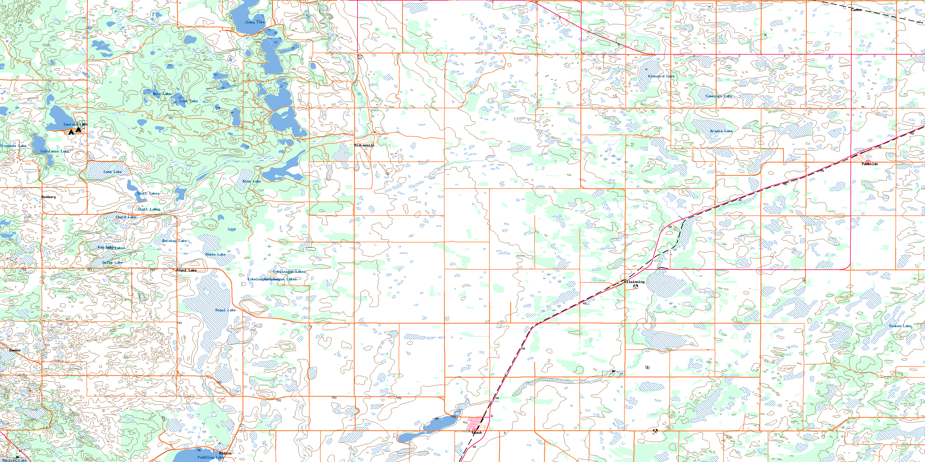
073G02 Leask Topo Map
To view this map, mouse over the map preview on the right.
You can also download this topo map for free:
073G02 Leask high-resolution topo map image.
Maps for the Leask topo map sheet 073G02 at 1:50,000 scale are also available in these versions:
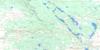
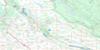
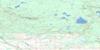
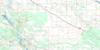
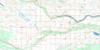
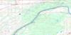
Leask Surrounding Area Topo Maps
 |
 |
 |
 |
 |
 |
 |
 |
 |
 |
 |
 |
 |
 |
 |
 |
© Department of Natural Resources Canada. All rights reserved.
Leask Gazetteer
The following places can be found on topographic map sheet 073G02 Leask:
Leask Topo Map: Indian Reserves
Mistawasis 103Mistawasis 103A
Mistawasis 103B
Mistawasis 103D
Muskeg Lake 102C
Muskeg Lake 102D
Muskeg Lake 102E
Muskeg Lake 102F
Muskeg Lake 102G
Muskeg Lake 102K
Muskeg Lake Indian Reserve 102
Réserve indienne Muskeg Lake 102
Réserve indienne Muskeg Lake 102A
Leask Topo Map: Lakes
Blue LakeBocskay Lake
Branta Lake
Chord Lake
Como Lake
Constance Lake
Cummings Lake
Dale Lake
Emerald Lake
Eskwinagun Lake
Eskwinagun Lakes
Iroquois Lake
Jimmy Lake
Kay Lakes
Kinnaird Lake
Lode Lake
Martins Lake
Royal Lake
Scott Lakes
Selby Lake
Unwin Lake
Yankee Lake
Leask Topo Map: Other municipal/district area - miscellaneous
Canwood No. 494Leask No. 464
Leask Topo Map: Conservation areas
Emerald Lake Regional ParkFort Carleton-Green Lake Trail Provincial Historic Site
Martins Lake Regional Park
Leask Topo Map: Rivers
Mistawasis CreekLeask Topo Map: Unincorporated areas
AldinaAvebury
Cameo
Damour
Kilwinning
Mistawasis
Royal Lake
Leask Topo Map: Villages
LeaskParkside
© Department of Natural Resources Canada. All rights reserved.
