Chitek Topo Map Online
Download Free Topo Map Sheet 073G13 at 1:50,000 scale
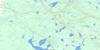
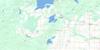
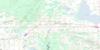
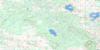
073G13 Chitek Topo Map
To view this map, mouse over the map preview on the right.
You can also download this topo map for free:
073G13 Chitek high-resolution topo map image.
Maps for the Chitek topo map sheet 073G13 at 1:50,000 scale are also available in these versions:
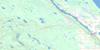
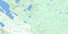
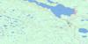
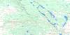
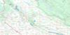
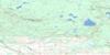
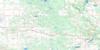
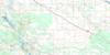
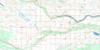
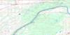
Chitek Surrounding Area Topo Maps
 |
 |
 |
 |
 |
 |
 |
 |
 |
 |
 |
 |
 |
 |
 |
 |
© Department of Natural Resources Canada. All rights reserved.
Chitek Gazetteer
The following places can be found on topographic map sheet 073G13 Chitek:
Chitek Topo Map: Bays
Waite BayChitek Topo Map: Indian Reserves
Pelican Lake 191CChitek Topo Map: Islands
Billings IslandChitek Topo Map: Lakes
Bug LakeChitek Lake
Deadman Lake
Eyapawutik Lake
Hunter Lake
Island Lake
Lac des Joncs
Lac Eauclaire
Lac Huard
Little Pelican Lake
Miko Lake
Mooswuk Lake
Muskak Lake
Shell Lake
Westin Lake
Chitek Topo Map: Other municipal/district area - miscellaneous
Big River No. 555Meadow Lake No. 588
Chitek Topo Map: Conservation areas
Bug Lake Recreation SiteChitek Lake Recreation Site
Delarond Lake (Zig Zag Bay) Provincial Recreation Site
Island Lake Recreation Site
Lac Eauclaire Recreation Site
Northern Provincial Forest
Shell Lake Recreation Site
Chitek Topo Map: Rivers
Alcott CreekChitek River
Myo Creek
Sulby Creek
Tea Creek
Chitek Topo Map: Unincorporated areas
ChitekMeetoos
Mollison
Stamp
Chitek Topo Map: Villages
Chitek Lake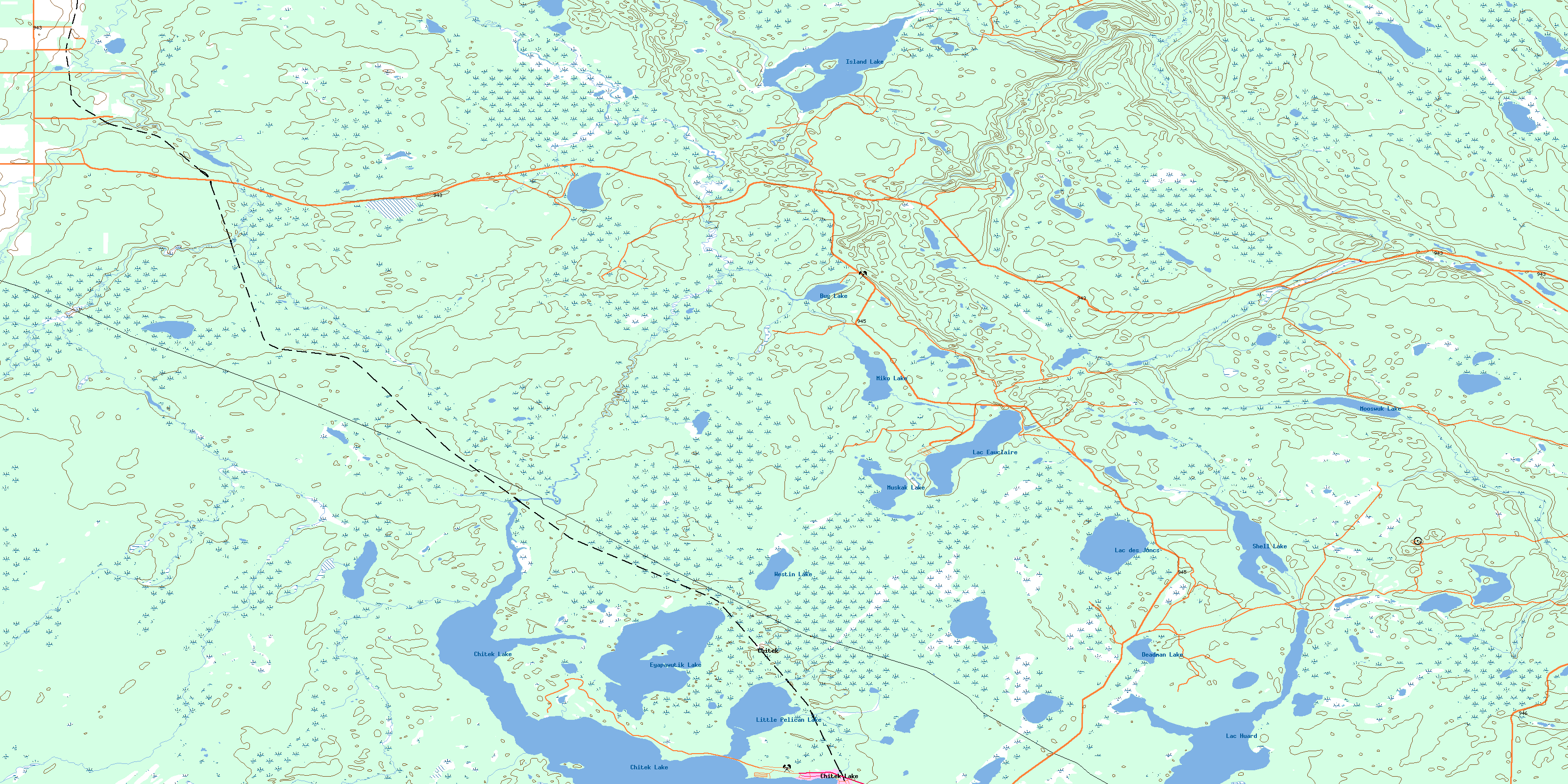
© Department of Natural Resources Canada. All rights reserved.
