Debolt Topo Map Online
Download Free Topo Map Sheet 083M01 at 1:50,000 scale
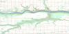
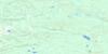
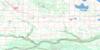
083M01 Debolt Topo Map
To view this map, mouse over the map preview on the right.
You can also download this topo map for free:
083M01 Debolt high-resolution topo map image.
Maps for the Debolt topo map sheet 083M01 at 1:50,000 scale are also available in these versions:
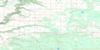
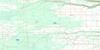
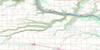
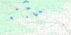
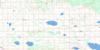
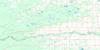
Debolt Surrounding Area Topo Maps
 |
 |
 |
 |
 |
 |
 |
 |
 |
 |
 |
 |
 |
 |
 |
 |
© Department of Natural Resources Canada. All rights reserved.
Debolt Gazetteer
The following places can be found on topographic map sheet 083M01 Debolt:
Debolt Topo Map: Lakes
Ellenwood LakeDebolt Topo Map: Major municipal/district area - major agglomerations
County of Grande Prairie No. 1Municipal District of Greenview No. 16
Debolt Topo Map: Rivers
Bear RiverCornwall Creek
Debolt Creek
DeBolt Creek
Economy Creek
Harper Creek
Lignite Creek
Simonette River
Smoky River
Wapiti River
Debolt Topo Map: Unincorporated areas
BezansonDebolt
DeBolt
Glen Leslie
Goodwin
Debolt Topo Map: Low vegetation
Grande Prairie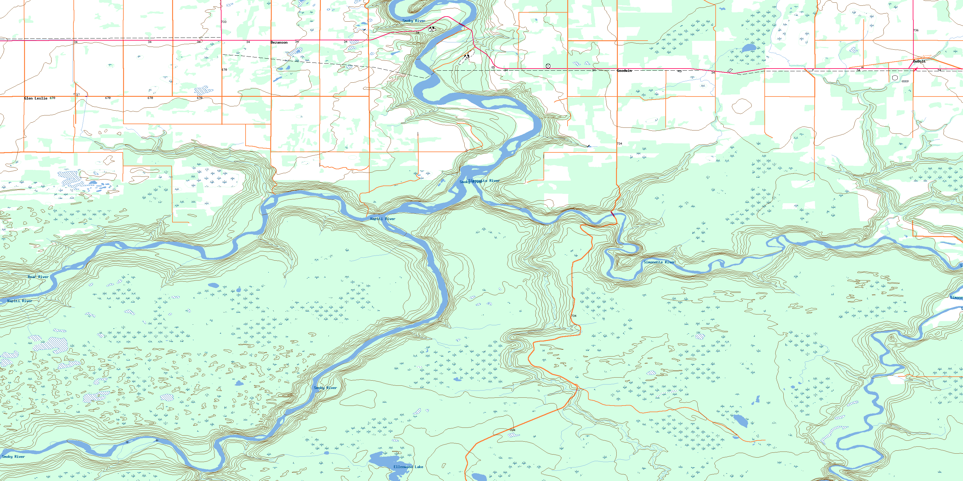
© Department of Natural Resources Canada. All rights reserved.
