Alastair Lake Topo Map Online
Download Free Topo Map Sheet 103I03 at 1:50,000 scale
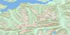
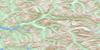
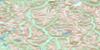
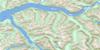
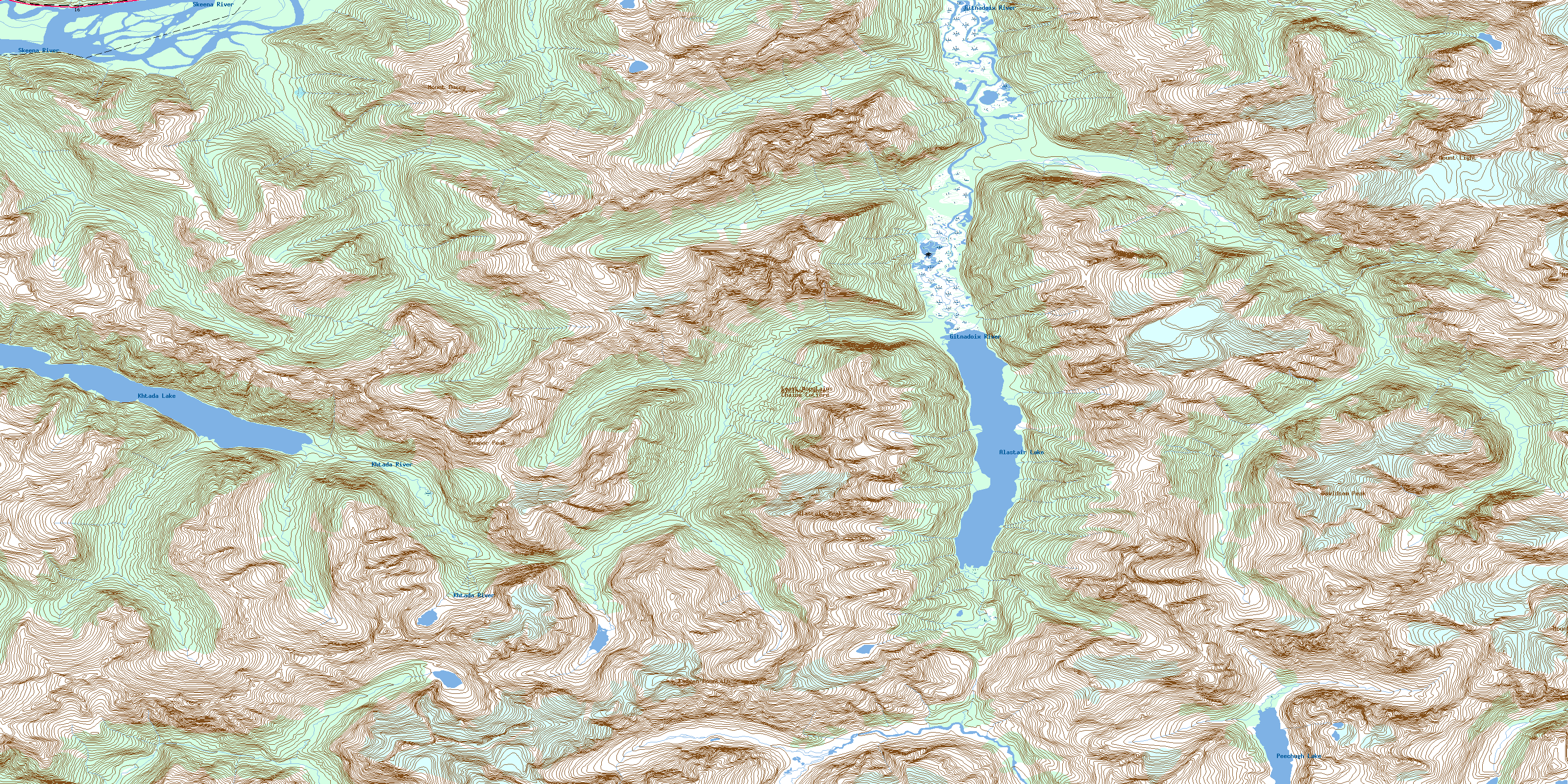
103I03 Alastair Lake Topo Map
To view this map, mouse over the map preview on the right.
You can also download this topo map for free:
103I03 Alastair Lake high-resolution topo map image.
Maps for the Alastair Lake topo map sheet 103I03 at 1:50,000 scale are also available in these versions:
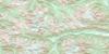
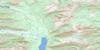
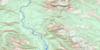
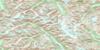
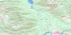
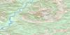
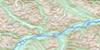
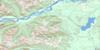
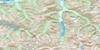
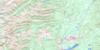
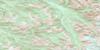
Alastair Lake Surrounding Area Topo Maps
 |
 |
 |
 |
 |
 |
 |
 |
 |
 |
 |
 |
 |
 |
 |
 |
© Department of Natural Resources Canada. All rights reserved.
Alastair Lake Gazetteer
The following places can be found on topographic map sheet 103I03 Alastair Lake:
Alastair Lake Topo Map: Cliffs
Kirby CragsAlastair Lake Topo Map: Indian Reserves
Alastair Indian Reserve 80Alastair Indian Reserve 81
Alastair Indian Reserve 82
Alder Creek Indian Reserve 70
Réserve indienne Alastair 80
Réserve indienne Alastair 81
Réserve indienne Alastair 82
Réserve indienne Alder Creek 70
Réserve indienne Tsemknawalqan 79
Tsemknawalqan Indian Reserve 79
Alastair Lake Topo Map: Islands
Selma IslandAlastair Lake Topo Map: Lakes
Alastair LakeKhtada Lake
Peechugh Lake
Alastair Lake Topo Map: Mountains
Alastair PeakChaîne Côtière
Coast Mountains
Cooper Peak
Davidson Peak
Kadeen Mountain
Kitimat Ranges
Mount Bucey
Mount Carthew
Mount Light
Mount Temple
Recumbent Peak
Shewolf Peak
Sillimanite Needle
Alastair Lake Topo Map: Major municipal/district area - major agglomerations
Regional District of Kitimat-StikineAlastair Lake Topo Map: Conservation areas
Gitnadoix River Recreation AreaAlastair Lake Topo Map: Rivers
Alder CreekBig Falls Creek
Feak Creek
Gilttoyees Creek
Gitnadoix Creek
Gitnadoix River
Kadeen Creek
Khtada River
Magar Creek
Skeena River
© Department of Natural Resources Canada. All rights reserved.
103I Related Maps:
103I Terrace103I01 Mount Davies
103I02 Kitimat
103I03 Alastair Lake
103I04 Port Essington
103I05 Khyex
103I06 Salvus
103I07 Lakelse Lake
103I08 Chist Creek
103I09 Usk
103I10 Terrace
103I11 Exstew River
103I12 Khutzeymateen River
103I13 Kincolith
103I14 Oscar Peak
103I15 Kitsumkalum Lake
103I16 Dorreen
