Kincolith Topo Map Online
Download Free Topo Map Sheet 103I13 at 1:50,000 scale
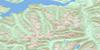
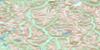
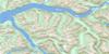
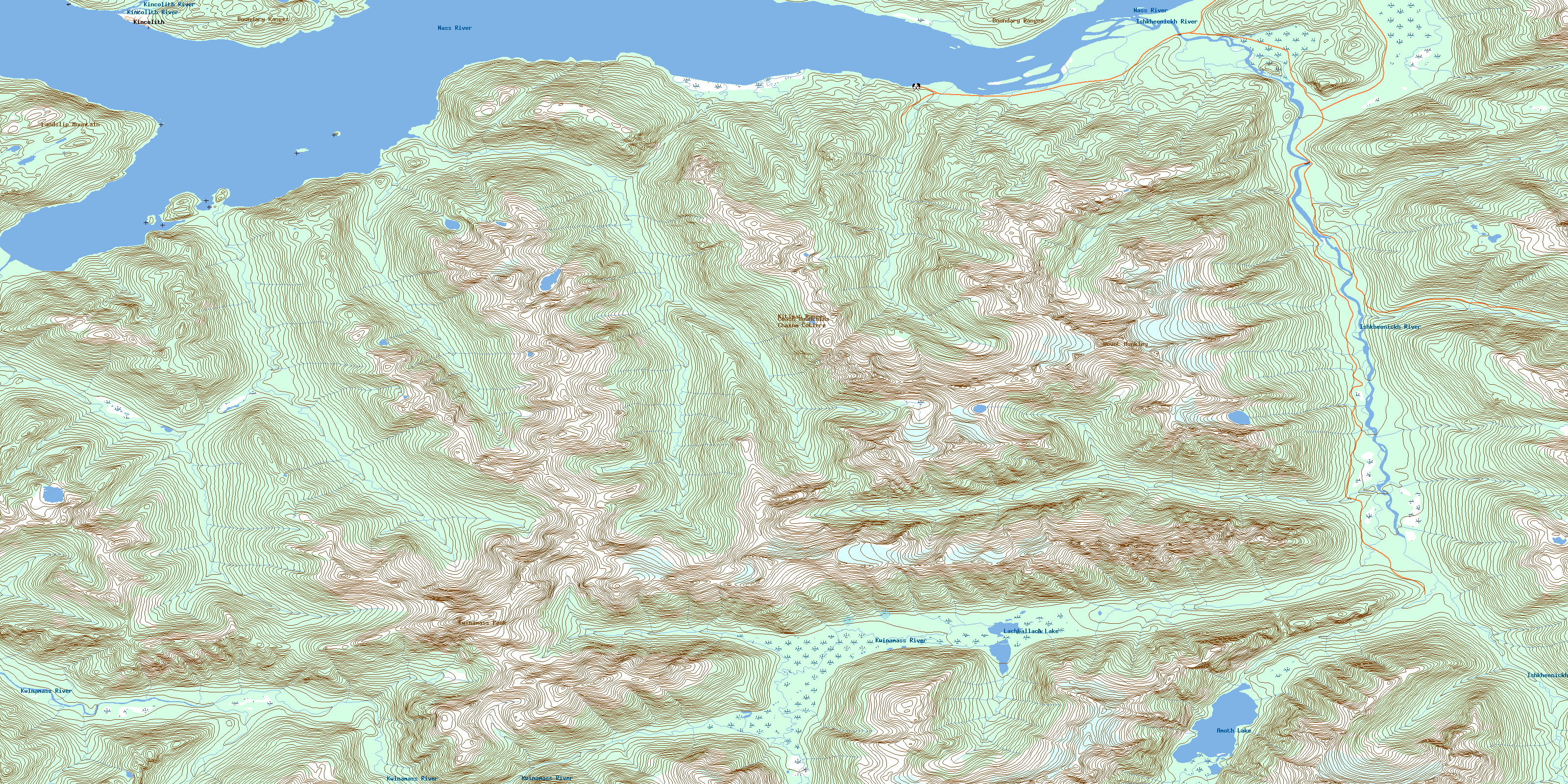
103I13 Kincolith Topo Map
To view this map, mouse over the map preview on the right.
You can also download this topo map for free:
103I13 Kincolith high-resolution topo map image.
Maps for the Kincolith topo map sheet 103I13 at 1:50,000 scale are also available in these versions:
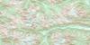
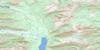
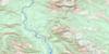
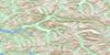
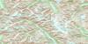
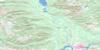
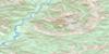
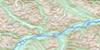
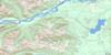
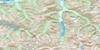
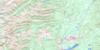
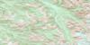
Kincolith Surrounding Area Topo Maps
 |
 |
 |
 |
 |
 |
 |
 |
 |
 |
 |
 |
 |
 |
 |
 |
© Department of Natural Resources Canada. All rights reserved.
Kincolith Gazetteer
The following places can be found on topographic map sheet 103I13 Kincolith:
Kincolith Topo Map: Bays
Echo CoveIceberg Bay
Mill Bay
Nass Bay
Nass Harbour
Kincolith Topo Map: Beaches
Canoe FlatKincolith Topo Map: Capes
Black PointClemas Point
Double Islet Point
Fort Point
Jaques Point
Leading Point
Mylor Peninsula
Ripple Tongue
Stevens Point
Kincolith Topo Map: Indian Reserves
Black Point Indian Reserve 11Ishkseenickh Indian Reserve 33
Ishkseenickh River Indian Reserve 34
Ishkseenickh River Indian Reserve 35
Ishkseenickh River Indian Reserve 36
Ishkseenickh River Indian Reserve 37
Kincolith Indian Reserve 14
Kincolith Indian Reserve 14A
Lachtesk Indian Reserve 12
Lachtesk Indian Reserve 12A
Lakata Indian Reserve 41
Lakbelak Indian Reserve 38
Lakbelak Indian Reserve 39
Lakbelak Indian Reserve 40
Red Bluff Indian Reserve 88
Red Cliff (Red Bluff) Indian Reserve 13
Réserve indienne Black Point 11
Réserve indienne Ishkseenickh 33
Réserve indienne Ishkseenickh River 34
Réserve indienne Ishkseenickh River 35
Réserve indienne Ishkseenickh River 36
Réserve indienne Ishkseenickh River 37
Réserve indienne Kincolith 14
Réserve indienne Kincolith 14A
Réserve indienne Lachtesk 12
Réserve indienne Lachtesk 12A
Réserve indienne Lakata 41
Réserve indienne Lakbelak 38
Réserve indienne Lakbelak 39
Réserve indienne Lakbelak 40
Réserve indienne Red Bluff 88
Réserve indienne Red Cliff (Red Bluff) 13
Réserve indienne Stony Point (Fishery Bay) 10
Stony Point (Fishery Bay) Indian Reserve 10
Kincolith Topo Map: Islands
Double IsletsMud Islands
Kincolith Topo Map: Lakes
Amoth LakeLachballach Lake
Kincolith Topo Map: Mountains
Boundary RangesChaîne Côtière
Coast Mountains
Kitimat Ranges
Kwinamass Peak
Landslip Mountain
Mount Monkley
Kincolith Topo Map: Major municipal/district area - major agglomerations
Regional District of Kitimat-StikineKincolith Topo Map: Rivers
Amoth CreekBarton Creek
Burton Creek
Chambers Creek
Ishkheenickh River
Keazoah Creek
Kincolith Creek
Kincolith River
Ksgyukwsa'a
Ksi Gingolx
Ksi Hlginx
Kwinamass River
Lachballach Creek
Nass River
Quilgauw Creek
Voshell Creek
Welda Creek
Kincolith Topo Map: Shoals
Fisherman BankFisherman's Bank
Governors Bar
Snag Bank
Tongue Bank
Whirlpool Rocks
Kincolith Topo Map: Miscellaneous sites
Lax BilakKincolith Topo Map: Unincorporated areas
GingolxKincolith
Mill Bay
Naas Harbour
Nass Harbour
© Department of Natural Resources Canada. All rights reserved.
103I Related Maps:
103I Terrace103I01 Mount Davies
103I02 Kitimat
103I03 Alastair Lake
103I04 Port Essington
103I05 Khyex
103I06 Salvus
103I07 Lakelse Lake
103I08 Chist Creek
103I09 Usk
103I10 Terrace
103I11 Exstew River
103I12 Khutzeymateen River
103I13 Kincolith
103I14 Oscar Peak
103I15 Kitsumkalum Lake
103I16 Dorreen
