Salvus Topo Map Online
Download Free Topo Map Sheet 103I06 at 1:50,000 scale
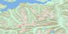
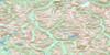
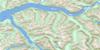
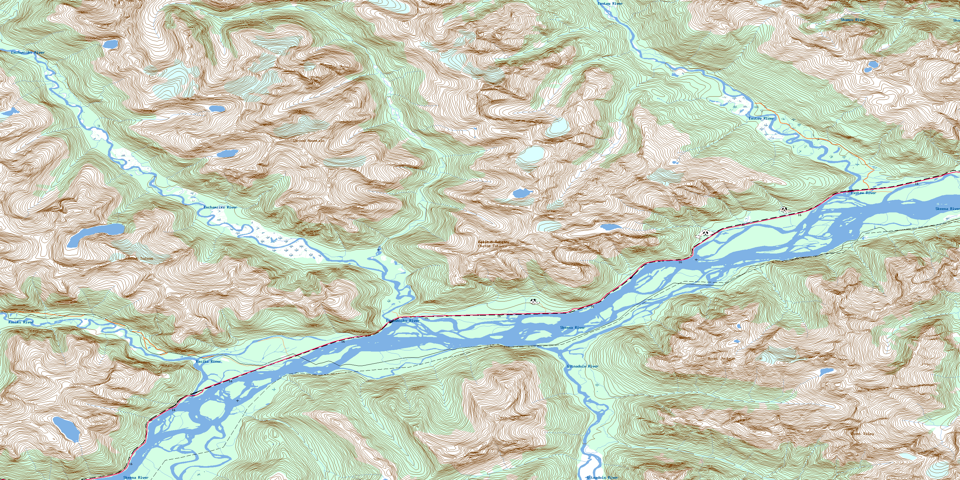
103I06 Salvus Topo Map
To view this map, mouse over the map preview on the right.
You can also download this topo map for free:
103I06 Salvus high-resolution topo map image.
Maps for the Salvus topo map sheet 103I06 at 1:50,000 scale are also available in these versions:
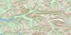
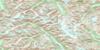
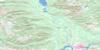
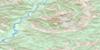
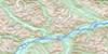
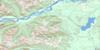
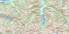
Salvus Surrounding Area Topo Maps
 |
 |
 |
 |
 |
 |
 |
 |
 |
 |
 |
 |
 |
 |
 |
 |
© Department of Natural Resources Canada. All rights reserved.
Salvus Gazetteer
The following places can be found on topographic map sheet 103I06 Salvus:
Salvus Topo Map: Beaches
Hudson Bay FlatsSalvus Topo Map: Falls
John Little FallsRockcliff Falls
Rockendrop Falls
Salvus Topo Map: Indian Reserves
Dzagayap Indian Reserve 73Dzagayap Indian Reserve 74
Gitandoiks Indian Reserve 75
Gitandoiks Indian Reserve 76
Iakwulgyiyaps Indian Reserve 78
Kasika Indian Reserve 71
Kasika Indian Reserve 72
Kstus Indian Reserve 83
Kstus Indian Reserve 84
Psacelay Indian Reserve 77
Réserve indienne Dzagayap 73
Réserve indienne Dzagayap 74
Réserve indienne Gitandoiks 75
Réserve indienne Gitandoiks 76
Réserve indienne Iakwulgyiyaps 78
Réserve indienne Kasika 71
Réserve indienne Kasika 72
Réserve indienne Kstus 83
Réserve indienne Kstus 84
Réserve indienne Psacelay 77
Réserve indienne Salvus 26
Salvus Indian Reserve 26
Salvus Topo Map: Islands
Devils IslandSalvus Topo Map: Lakes
Assimilation LakeSalvus Topo Map: Mountains
Calcpod PeakChaîne Côtière
Coast Mountains
Kitimat Ranges
Mount Jackman
Mount Morris
Mount Salvus
Mount Valpy
Shroud Mountain
Salvus Topo Map: Major municipal/district area - major agglomerations
Regional District of Kitimat-StikineSalvus Topo Map: Conservation areas
Exchamsiks River ParkGitnadoix River Recreation Area
Salvus Topo Map: Rivers
Andesite CreekClay Creek
Dasque Creek
Exchamsiks River
Exstew River
Gitnadoix Creek
Gitnadoix River
Kasiks River
Rockcliff Creek
Rockendrop Creek
Shames River
Skeena River
Salvus Topo Map: Unincorporated areas
ExstewSalvus
© Department of Natural Resources Canada. All rights reserved.
103I Related Maps:
103I Terrace103I01 Mount Davies
103I02 Kitimat
103I03 Alastair Lake
103I04 Port Essington
103I05 Khyex
103I06 Salvus
103I07 Lakelse Lake
103I08 Chist Creek
103I09 Usk
103I10 Terrace
103I11 Exstew River
103I12 Khutzeymateen River
103I13 Kincolith
103I14 Oscar Peak
103I15 Kitsumkalum Lake
103I16 Dorreen
