Kitsumkalum Lake Topo Map Online
Download Free Topo Map Sheet 103I15 at 1:50,000 scale
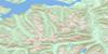
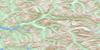
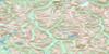
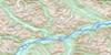
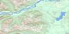
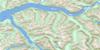
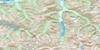
103I15 Kitsumkalum Lake Topo Map
To view this map, mouse over the map preview on the right.
You can also download this topo map for free:
103I15 Kitsumkalum Lake high-resolution topo map image.
Maps for the Kitsumkalum Lake topo map sheet 103I15 at 1:50,000 scale are also available in these versions:
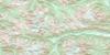
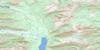
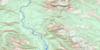
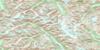
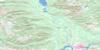
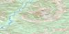
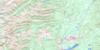
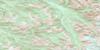
Kitsumkalum Lake Surrounding Area Topo Maps
 |
 |
 |
 |
 |
 |
 |
 |
 |
 |
 |
 |
 |
 |
 |
 |
© Department of Natural Resources Canada. All rights reserved.
Kitsumkalum Lake Gazetteer
The following places can be found on topographic map sheet 103I15 Kitsumkalum Lake:
Kitsumkalum Lake Topo Map: Channels
North Arm of Work ChannelKitsumkalum Lake Topo Map: Islands
West Haycock IslandKitsumkalum Lake Topo Map: Lakes
Gainor LakeKitsumgallum Lake
Kitsumkalum Lake
Sand Lake
Kitsumkalum Lake Topo Map: Mountains
Chaîne CôtièreCoast Mountains
Hazelton Mountains
Kitimat Ranges
Maroon Mountain
Mount Allard
Mount Couture
Nass Range
Nass Ranges
Pimple Peak
Wesach Mountain
Kitsumkalum Lake Topo Map: Major municipal/district area - major agglomerations
Regional District of Kitimat-StikineKitsumkalum Lake Topo Map: Rivers
Belway CreekCedar River
Clarence Creek
Clear Creek
Douglas Creek
Egan Creek
Fiddler Creek
Hadenschild Creek
Hall Creek
Hammersley Creek
Hampson Creek
Insect Creek
Johnson Creek
Kitsumgallum River
Kitsumkalum River
Little Cedar River
Lorne Creek
Maroon Creek
Mayo Creek
Meadow Creek
Porcupine Creek
Quill Creek
South Lorne Creek
Sterling Creek
Tseax River
Wesach Creek
Kitsumkalum Lake Topo Map: Unincorporated areas
Rosswood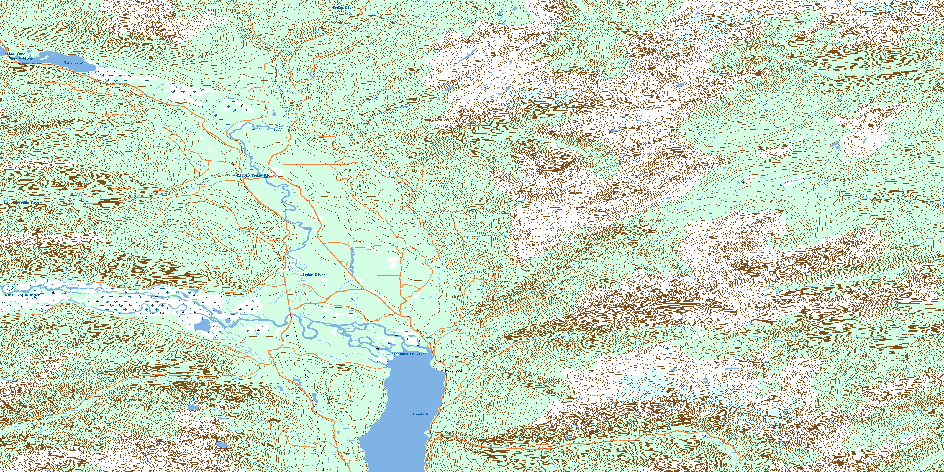
© Department of Natural Resources Canada. All rights reserved.
103I Related Maps:
103I Terrace103I01 Mount Davies
103I02 Kitimat
103I03 Alastair Lake
103I04 Port Essington
103I05 Khyex
103I06 Salvus
103I07 Lakelse Lake
103I08 Chist Creek
103I09 Usk
103I10 Terrace
103I11 Exstew River
103I12 Khutzeymateen River
103I13 Kincolith
103I14 Oscar Peak
103I15 Kitsumkalum Lake
103I16 Dorreen
