Cultus Creek Topo Map Online
Download Free Topo Map Sheet 115G01 at 1:50,000 scale
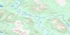
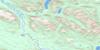
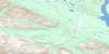
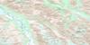
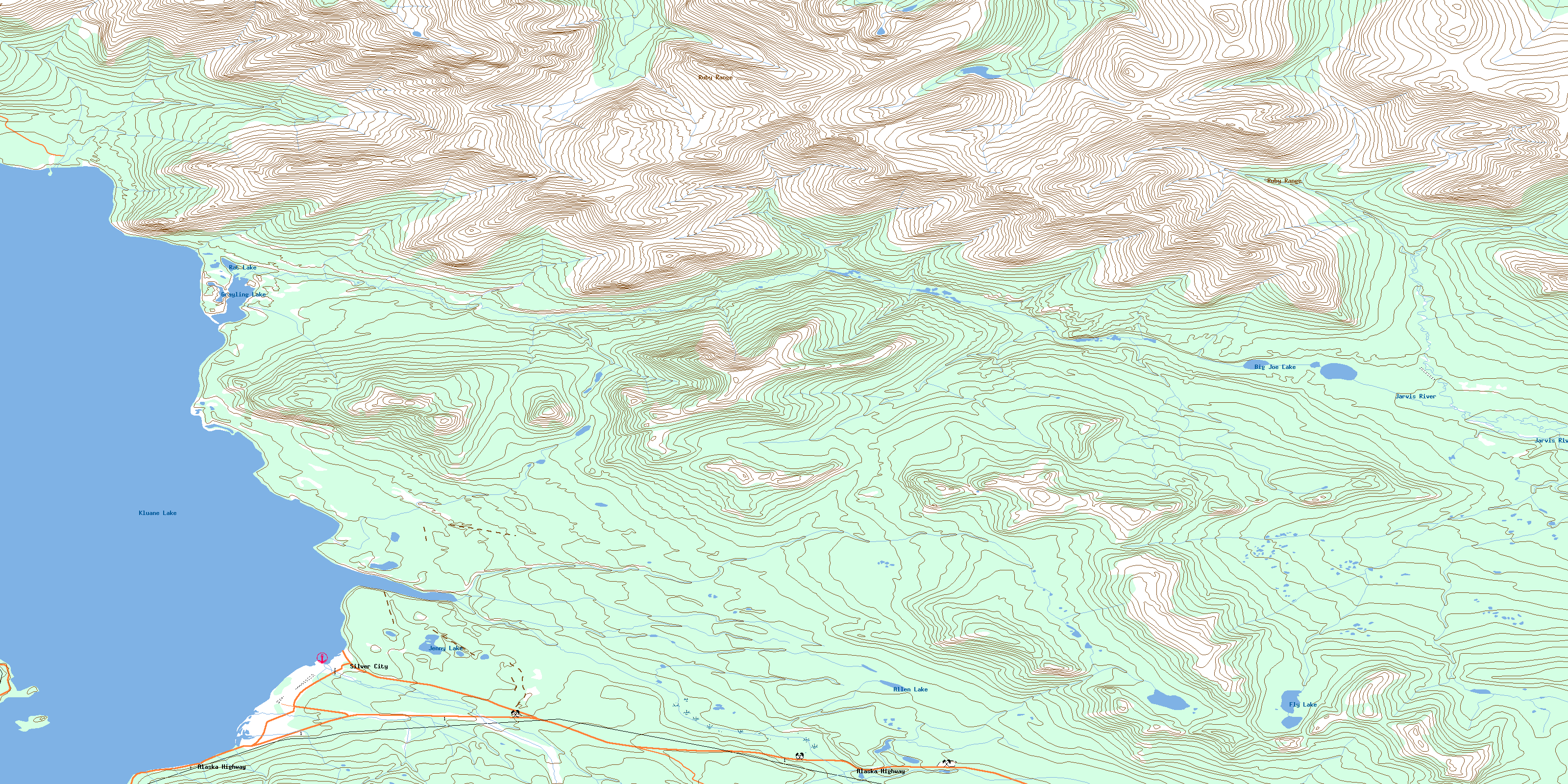
115G01 Cultus Creek Topo Map
To view this map, mouse over the map preview on the right.
You can also download this topo map for free:
115G01 Cultus Creek high-resolution topo map image.
Maps for the Cultus Creek topo map sheet 115G01 at 1:50,000 scale are also available in these versions:
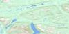
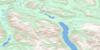
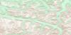
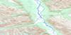
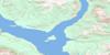
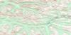
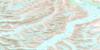
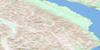
Cultus Creek Surrounding Area Topo Maps
 |
 |
 |
 |
 |
 |
 |
 |
 |
 |
 |
 |
 |
 |
 |
 |
© Department of Natural Resources Canada. All rights reserved.
Cultus Creek Gazetteer
The following places can be found on topographic map sheet 115G01 Cultus Creek:
Cultus Creek Topo Map: Bays
Christmas BayCultus Bay
Thorsen Bay
Cultus Creek Topo Map: Lakes
Allen LakeBig Joe Lake
Fly Lake
Grayling Lake
Hayden Lake
Jenny Lake
Kluane Lake
Rat Lake
Cultus Creek Topo Map: Mountains
Kluane HillsRuby Range
Cultus Creek Topo Map: Conservation areas
Kluane National Park and Reserve of CanadaKluane Wildlife Sanctuary
Kluane/Wrangell-St. Elias/Glacier Bay/Tatshenshini-Alsek World Heritage Site
Parc national et réserve de parc national du Canada Kluane
Site du patrimoine mondial Kluane/Wrangell-St. Elias/Glacier Bay/Tatshenshini-Alsek
Cultus Creek Topo Map: Plains
Kluane PlateauYukon Plateau
Cultus Creek Topo Map: Rivers
Alie CreekChristmas Creek
Clear Creek
Cultus Creek
Fourth of July Creek
Inlet Creek
Jarvis River
John Creek
Little Cultus Creek
Little John Creek
Ostberg Creek
Printers Creek
Silver Creek
Snyder Creek
Swanson Creek
Topham Creek
Twelfth of July Creek
Venus Creek
Cultus Creek Topo Map: Unincorporated areas
KluaneSilver City
Silver Creek
Cultus Creek Topo Map: Valleys
Shakwak TrenchShakwak Valley
© Department of Natural Resources Canada. All rights reserved.
115G Related Maps:
115G Kluane Lake115G01 Cultus Creek
115G02 Congdon Creek
115G03 Bighorn Creek
115G04 Donjek Glacier
115G05 Steele Creek
115G06 Duke River
115G07 Burwash Landing
115G08 Gladstone Creek
115G09 Talbot Creek
115G10 Serpenthead Lake
115G11 Nuntaea Creek
115G12 Lynx Creek
115G13 Tom Murray Creek
115G14 Toshingermann Lakes
115G15 Kiyera Lake
115G16 Rhyolite Creek
