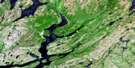
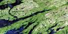
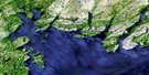
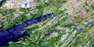
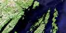
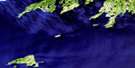
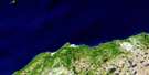
Jude Island Satellite Image Map
Download Free Aerial Photo 001M02 at 1:50,000 scale
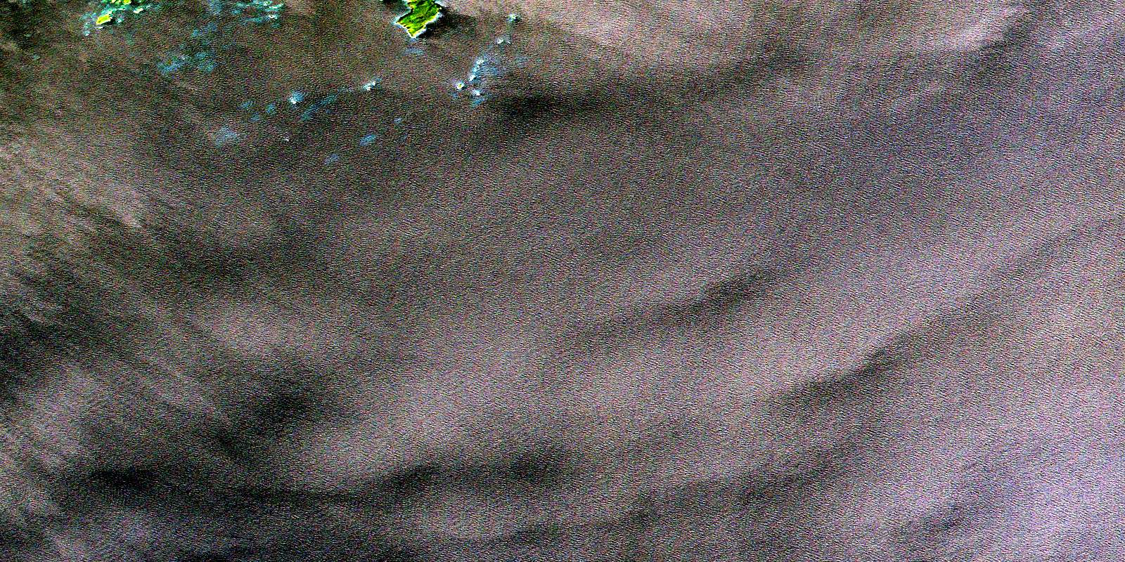
Jude Island Satellite Imagery
To view this satellite map, mouse over the air photo on the right.
You can also download this satellite image map for free:
001M02 Jude Island high-resolution satellite image map.
Maps for the Jude Island aerial map sheet 001M02 at 1:50,000 scale are also available in these versions:
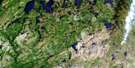
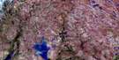
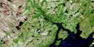
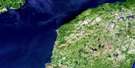
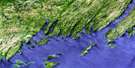
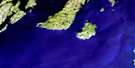
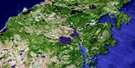
Jude Island Surrounding Area Aerial Photo Maps
 |
 |
 |
 |
 |
 |
 |
 |
 |
 |
 |
 |
 |
 |
 |
 |
© Department of Natural Resources Canada. All rights reserved.
Jude Island Gazetteer
The following places can be found on satellite image map 001M02 Jude Island:
Jude Island Satellite Image: Bays
D'Argent BayHay Cove
Placentia Bay
Jude Island Satellite Image: Capes
Cape JudeFoots Cape
Jude Island Satellite Image: Islands
Bald IslandCopper Island
Durdle Island
Green Island
Green Islands
Jude Island
Little Pinnacle Island
Little Saddle Back Island
Middle Island
Pinnacle Island
Saddle Back Island
Jude Island Satellite Image: Mountains
Upper PinnacleJude Island Satellite Image: Shoals
Badger RockBig Shoal
Big Shoal
Bingham Shoal
Black Rock
Bobby Rock
Butler Rock
Colombier Rocks
Copper Island Rock
Deepwater Ledge
Eastern Hummock
Eastern Rock
Eastern Rock
Flower Shoal
Four Fathom Shoal
Harbour Rocks
Jean de Baie Bank
Joe Rock
Jusson Rock
Kelpy Sunker
Lachlan Shoal
Liar Rock
Little Colombier Rocks
Little Washing Tub
Long Rock
Long Rock
Monks Bank
Mortier Bank
Mortier Rock
Oderin Bank
Old Poe Shoal
Outer Hummock
Paddle Rocks
Pig Ledge
Round Rock
Smith Shoal
South Sunker
Spicer Rock
Stickland Rock
The Burr
The Hummocks
The Pinnacle
Washing Tub
Western Hummock
Western Rocks
Western Sunker
Whale Back
William Henry Bank
© Department of Natural Resources Canada. All rights reserved.
001M Related Maps:
001M Belleoram001M01 Ship Cove
001M02 Jude Island
001M03 Marystown
001M04 Grand Bank
001M05 Harbour Breton
001M06 Point Entragee
001M07 Baine Harbour
001M08 Merasheen
001M09 Harbour Buffett
001M10 Terrenceville
001M11 Belleoram
001M12 Gaultois
001M13 St Alban's
001M14 Hungry Grove Pond
001M15 Gisborne Lake
001M16 Sound Island
