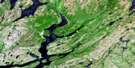
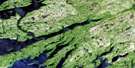
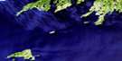
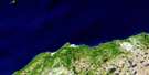
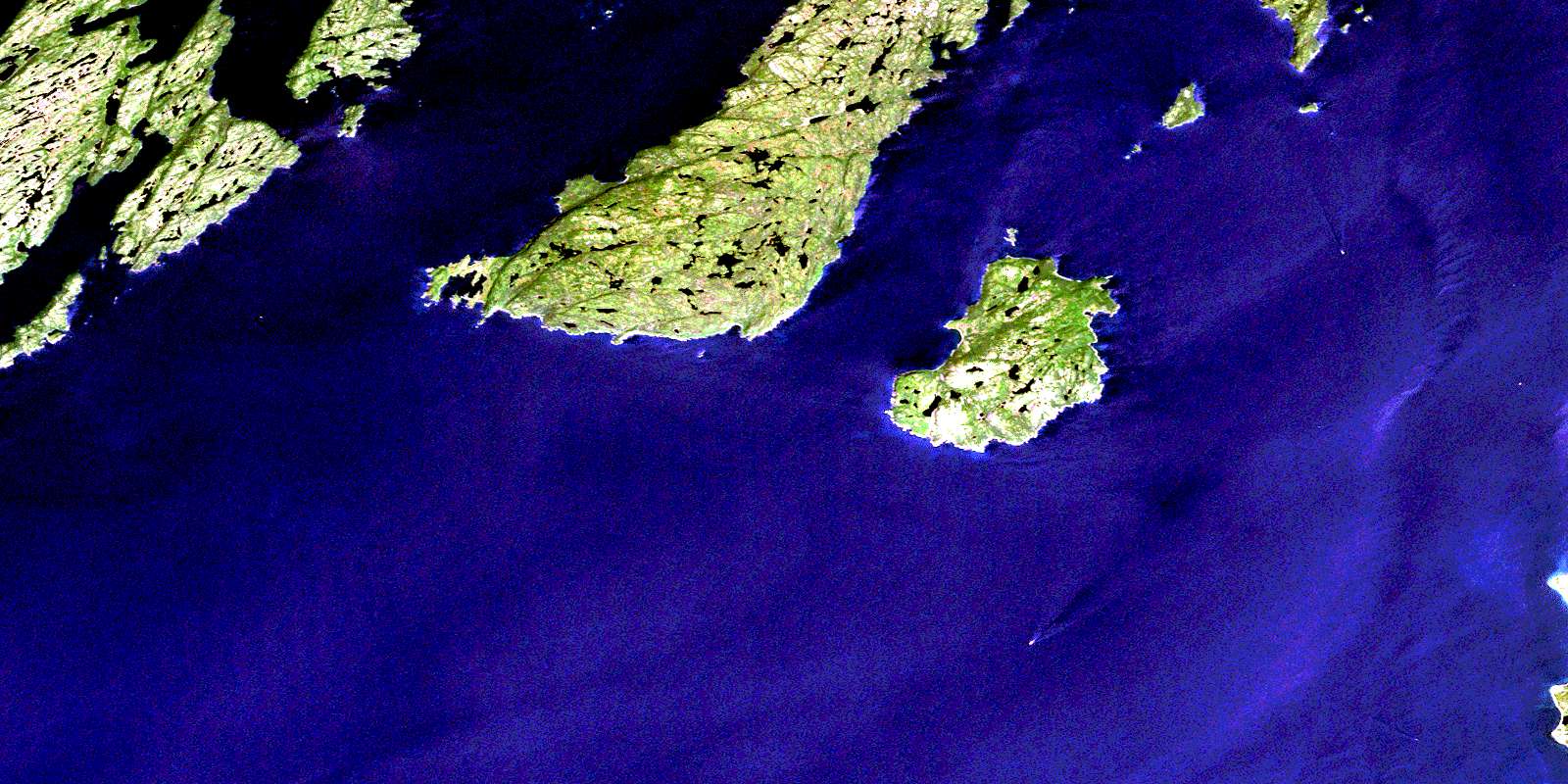
Merasheen Satellite Image Map
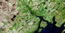
Download Free Aerial Photo 001M08 at 1:50,000 scale
Merasheen Satellite Imagery
To view this satellite map, mouse over the air photo on the right.
You can also download this satellite image map for free:
001M08 Merasheen high-resolution satellite image map.
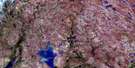
Maps for the Merasheen aerial map sheet 001M08 at 1:50,000 scale are also available in these versions:
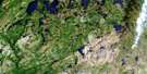
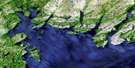
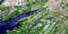
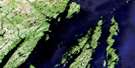
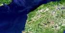
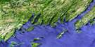
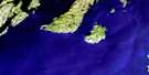
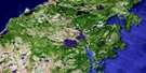
Merasheen Surrounding Area Aerial Photo Maps
 |
 |
 |
 |
 |
 |
 |
 |
 |
 |
 |
 |
 |
 |
 |
 |
© Department of Natural Resources Canada. All rights reserved.
Merasheen Gazetteer
The following places can be found on satellite image map 001M08 Merasheen:
Merasheen Satellite Image: Bays
Back CoveChannels Harbour
Clattice Harbour
Cochrane Cove
Darby Harbour
Deep Cove
Dirty Rock Cove
Dough Ball Cove
Green Cove
Hogan Cove
Indian Harbour
Jigging Cove
Little Merasheen Harbour
Margery Cove
Merasheen Harbour
Murphy Cove
Northwest Arm
Northwest Cove
Oliver Cove
Paradise Sound
Pete Cove
Placentia Bay
Presque Harbour
Red Island Harbour
Rocky Cove
Rocky Cove
Sand Cove
Scrape Cove
South Wild Cove
Southwest Arm
Southwest Cove
St. Kyran's Harbour
Storehouse Cove
Toslow Cove
Valen Harbour
Virgin Cove
Wild Cove
Merasheen Satellite Image: Capes
Avalon PeninsulaBeachy Cove Head
Big Bald Head
Blue Point
Breakheart Point
Buffett Head
Cross Point
Dicks Point
Dunn Point
Grandy Point
Harbour Head
Herring Point
Hogan Cove Head
Hole in the Wall Point
Latine Point
Little Bald Head
Long Point
Long Point
Long Point
Margaret Point
Margery Cove Point
Moll Point
Northwest Head
Pete Cove Head
Pond Head
Ragged Point
Red Head
Red Point
Redland Point
Scrape Cove Head
Shalloway Point
Slatey Point
Soldier Point
Southwest Head
Stony Point
Wadman Point
West Head
White Point
Merasheen Satellite Image: Channels
Central ChannelEastern Channel
Western Channel
Merasheen Satellite Image: Cliffs
Redland SlideWhite Sail
Merasheen Satellite Image: Islands
Canary IslandsCooper Island
Dog Islands
Dutch Cap Island
Fish Island
Goat Island
Goat Island
Great Seal Island
Green Islands
Iron Island
Isle Valen
Little Goat Islands
Little Isle Valen
Little Seal Island
Long Island
Merasheen Island
Red Island
Rose au Rue Island
Saddleback Island
Southwest Island
Sugarloaf Island
Merasheen Satellite Image: Mountains
Calvary HillGallivan Hill
Ironskull Hill
The Friar
The Tolt
Merasheen Satellite Image: Shoals
Allen RockBald Head Shoal
Barrett Rock
Bennett Bank
Big Shoal
Big Sunker
Black Rock
Brook Rock
Burgeo Ground
Charley Rock
Coppaleen Rock
Creek Shoal
Cross Point Shoal
Dirty Rocks
Dough Ball Shoals
Eastern Ridge
Eastern Rock
Eastern Sunker
Fish Rock
George Rock
Goat Island Sunker
Grandy Point Rock
Harbour Rock
Hennessey Rock
Hollett Rock
Inside Rock
Iron Island Bank
Ironskull Rock
Isaac Rock
Jeans Rock
Joe Ground
Leal Rocks
Little Shoal
Long Point Rock
Long Point Shoal
Mad Cap Shoal
Middle Ground
Middle Rock
Moll Rock
Moses Rock
Murphy Rock
Mussel Ledge
Neverfail Rock
Northward Rock
Outer Burgeo Ground
Owen Rock
Paddy Rock
Pond Head Sunkers
Privécoeur Shoal
Red Island Rocks
Red Island Shoal
Rocky Cove Sunker
Rose au Rue Sunker
Rowland Rock
Samson Point Shoal
Seal Island Rocks
Shag Rock
Southern Shoal
Stony Rock
Telegraph Rock
The Deadman
The Ridge
Tide Cove Sunker
Tinker Rocks
Toslow Rocks
Tripper Rock
Western Rocks
White Sail Bank
Merasheen Satellite Image: Unincorporated areas
Clattice HarbourClattice South West
Indian Harbour
Isle Valen
Merasheen
Murphys Cove
Presque
Red Island
St. Annes
St. Kyran's
St. Leonards
Toslow
© Department of Natural Resources Canada. All rights reserved.
001M Related Maps:
001M Belleoram001M01 Ship Cove
001M02 Jude Island
001M03 Marystown
001M04 Grand Bank
001M05 Harbour Breton
001M06 Point Entragee
001M07 Baine Harbour
001M08 Merasheen
001M09 Harbour Buffett
001M10 Terrenceville
001M11 Belleoram
001M12 Gaultois
001M13 St Alban's
001M14 Hungry Grove Pond
001M15 Gisborne Lake
001M16 Sound Island
