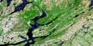
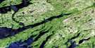
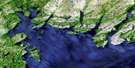
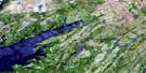
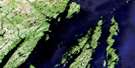
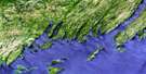
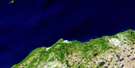
Belleoram Satellite Image Map
Download Free Aerial Photo 001M11 at 1:50,000 scale
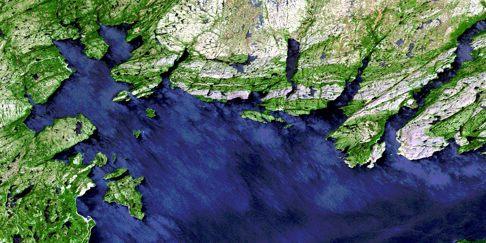
Belleoram Satellite Imagery
To view this satellite map, mouse over the air photo on the right.
You can also download this satellite image map for free:
001M11 Belleoram high-resolution satellite image map.
Maps for the Belleoram aerial map sheet 001M11 at 1:50,000 scale are also available in these versions:
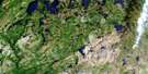
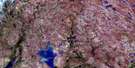
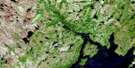
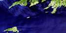
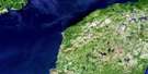
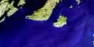
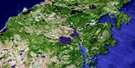
Belleoram Surrounding Area Aerial Photo Maps
 |
 |
 |
 |
 |
 |
 |
 |
 |
 |
 |
 |
 |
 |
 |
 |
© Department of Natural Resources Canada. All rights reserved.
Belleoram Gazetteer
The following places can be found on satellite image map 001M11 Belleoram:
Belleoram Satellite Image: Bays
Andersons CoveBack Cove
Belle Bay
Belle Harbour
Belleoram Barasway
Belleoram Harbour
Big Conne
Big Head Cove
Bitts Cove
Burdock Cove
Cinq Islands Bay
Cock and Hen Hole
Corbin Bay
Doctors Cove
Dog Cove
Doting Cove
Doting Cove
Doughball Cove
Duck Hole
Duck Hole
East Bay
Farmers Cove
Fortune Bay
Fox Cove
Grant Cove
Grundy Cove
Hare Harbour
Hatcher Arm
Hope Cove
Isle à Glu Cove
Jimmy Cove
Keeping Cove
Lakes Cove
Lally Back Cove
Lally Cove
Landing Cove
Little Bay
Little Conne
Lobster Cove
Long Cove
Long Harbour
Maggoty Cove
Magrath Cove
Mal Bay
Mooring Cove
North Bay
North West Arm
Northwest Cove
Parsons Cove
Pool's Cove
Rencontre Harbour
Rose Cove
Shellbird Cove
Shine Cove
Skinners Cove
South East Bight
South East Bight
South West Arm
Spyglass Cove
Stone Cove
The Ovens
Tickle Harbour
Tom Hole
Tranmer Cove
Turnip Cove
Yankee Cove
Belleoram Satellite Image: Beaches
Tickle BeachBelleoram Satellite Image: Capes
Back Cove PointBald Point
Beach Point
Big Head
Big Head
Bob Head
Cahill Point
Can Harbour Point
Cinq Islands Head
Conne Big Head
Corbin Head
Corbin Head Promontory
Doting Cove Head
Doting Head
East Bay Head
Farmers Cove Head
Friar Head
Grebe Head
Gull Point
Iron Head
Ironskull Point
Lally Head
Lobster Cove Point
Long Harbour Point
Long Point
Potato Point
Red Head
Round Point
Sandy Point
Seal Point
Thibauts Head
Tickle Head
Tilt Point
Witch Hazel Point
Woody Head
Belleoram Satellite Image: Islands
Belle IslandChapel Island
Doctor Island
Dog Island
Gull Island
Herring Island
Indian Tea Island
Isle à Glu
Lally Cove Island
Long Island
Lord and Lady Island
Mal Bay Island
Petticoat Island
Rencontre Island
Rencontre Islands
Stearin Island
Thrum Cap
Tickle Island
Woody Island
Belleoram Satellite Image: Lakes
Barachois du BarreFemme Long Pond
Isle à Glu Pond
Rencontre Lake
Belleoram Satellite Image: Mountains
Big HillJimmy Pine Hill
Lakes Hill
Whalesback
Belleoram Satellite Image: Rivers
Bay du Nord RiverCrooked Brook
Duck Brook
Mal Bay Brook
Mare Brook
North East Brook
North West Brook
North West Brook
Rencontre Brook
Salmon River
Schooner Brook
Simmons Brook
South West Brook
Spout Brook
Belleoram Satellite Image: Shoals
Back Cove ShoalBarrow Rock
Black Rock
Chapel Island Rock
Cockup Shoal
Deep Water Ledge
Doting Cove Shoal
Ducie Rock
Dun Fish Shoal
Femme Shoal
Gangway Shoal
Grandy Rock
Gull Rock
Halibut Ledge
Hare Rock
Ironskull Bank
Little Shoal
Long Harbour Bank
Long Point Rock
Middle Ground
Northward Rock
Open Cove Shoal
Pennell Shoal
Pilot Rock
Roses Bank
Scrape Shoal
Seal Rocks
Shag Rock
South East Shoal
Stones Rock
Thoroughfare Shoal
Western Shoal
White Rock
Witch Hazel Rock
Belleoram Satellite Image: Towns
BelleoramPool's Cove
Rencontre East
Belleoram Satellite Image: Unincorporated areas
Anderson's CoveBay du Nord
Corbin
Doctors Harbour
Hare Harbour
Hoop Cove
Lally Cove
Stone's Cove
Turnip Cove
© Department of Natural Resources Canada. All rights reserved.
001M Related Maps:
001M Belleoram001M01 Ship Cove
001M02 Jude Island
001M03 Marystown
001M04 Grand Bank
001M05 Harbour Breton
001M06 Point Entragee
001M07 Baine Harbour
001M08 Merasheen
001M09 Harbour Buffett
001M10 Terrenceville
001M11 Belleoram
001M12 Gaultois
001M13 St Alban's
001M14 Hungry Grove Pond
001M15 Gisborne Lake
001M16 Sound Island
