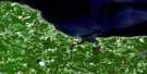
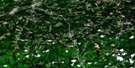
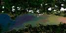
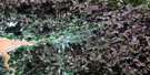
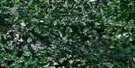
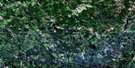
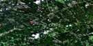
Malignant Cove Satellite Image Map
Download Free Aerial Photo 011E16 at 1:50,000 scale
Malignant Cove Satellite Imagery
To view this satellite map, mouse over the air photo on the right.
You can also download this satellite image map for free:
011E16 Malignant Cove high-resolution satellite image map.
Maps for the Malignant Cove aerial map sheet 011E16 at 1:50,000 scale are also available in these versions:
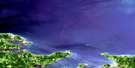
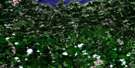
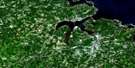
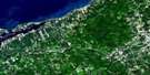
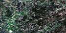
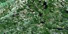
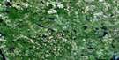
Malignant Cove Surrounding Area Aerial Photo Maps
 |
 |
 |
 |
 |
 |
 |
 |
 |
 |
 |
 |
 |
 |
 |
 |
© Department of Natural Resources Canada. All rights reserved.
Malignant Cove Gazetteer
The following places can be found on satellite image map 011E16 Malignant Cove:
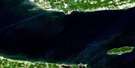
Malignant Cove Satellite Image: Bays
Beechill CoveGolfe du Saint-Laurent
Guernsey Cove
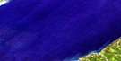
Gulf of St. Lawrence
Malignant Cove
Malignant Cove Satellite Image: Capes
Arisaig PointDunn Point
Malignant Cove Satellite Image: Channels
Détroit de NorthumberlandNorthumberland Strait
Malignant Cove Satellite Image: Geographical areas
AntigonishKings
Sydney
Malignant Cove Satellite Image: Lakes
Greendale LochMalignant Cove Pond
McDonald Lake
Malignant Cove Satellite Image: Mountains
Mount MacDonaldSugarloaf Hill
Malignant Cove Satellite Image: Major municipal/district area - major agglomerations
AntigonishMalignant Cove Satellite Image: Conservation areas
Arisaig Provincial ParkMalignant Cove Satellite Image: Provinces
Île-du-Prince-ÉdouardNouvelle-Écosse
Nova Scotia
Prince Edward Island
Malignant Cove Satellite Image: Rivers
Arbuckle BrookArisaig Brook
Browns Brook
Chisholm Brook
Doctors Brook
East Doctors Brook
Georgeville Brook
Horseshoe Turn Brook
Iron Brook
Loch Brook
MacAdam Brook
MacDonald Brook
MacDonalds Brook
MacGillivray Brook
MacInnis Brook
MacKinnons Brook
MacNeils Brook
Malignant Brook
McAdam Stream
McDonald Brook
McDonalds Brook
McGillivray Brook
McInnes Brook
McKinnons Brook
McNeils Brook
Mill Brook
North Lake Stream
Ross Brook
Malignant Cove Satellite Image: Shoals
East End ReefFrenchmans Barn
Malignant Cove Satellite Image: Unincorporated areas
ArisaigDoctors Brook
Georgeville
Greendale
Guernsey Cove
Malignant Cove
Maryvale
Malignant Cove Satellite Image: Low vegetation
MacIsaacs Marsh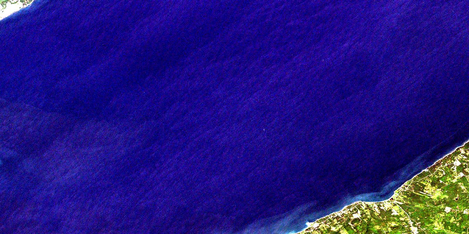
© Department of Natural Resources Canada. All rights reserved.
011E Related Maps:
011E Truro011E01 Liscomb
011E02 Upper Musquodoboit
011E03 Shubenacadie
011E04 Kennetcook
011E05 Bass River
011E06 Truro
011E07 Hopewell
011E08 Lochaber
011E09 Merigomish
011E10 New Glasgow
011E11 Tatamagouche
011E12 Oxford
011E13 Pugwash
011E14 Malagash
011E15 Pictou Island
011E16 Malignant Cove
