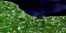
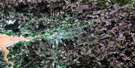
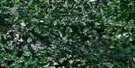
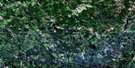
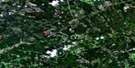
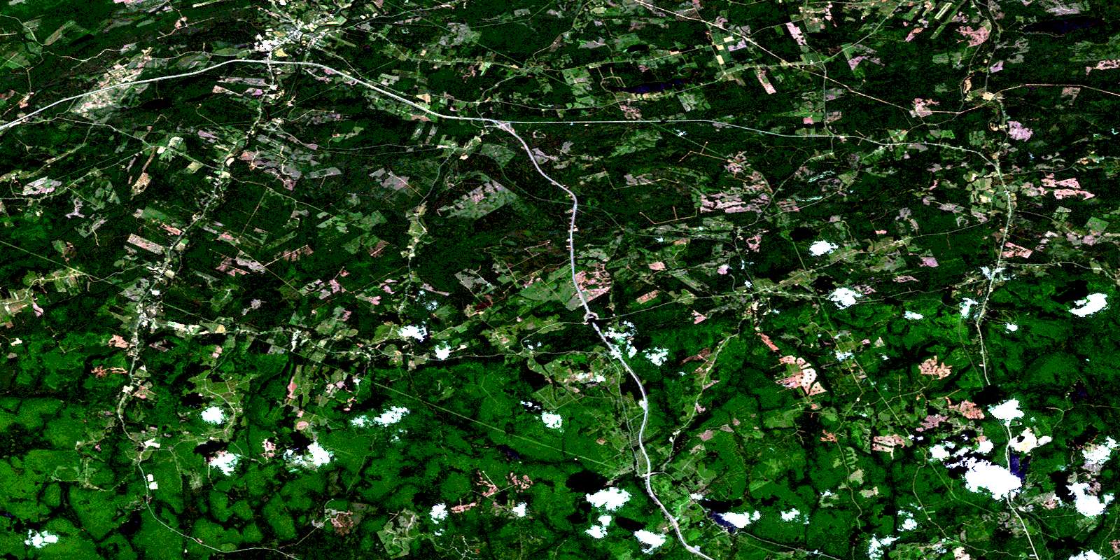
Oxford Satellite Image Map
Download Free Aerial Photo 011E12 at 1:50,000 scale
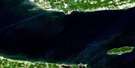
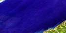
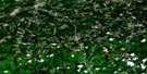
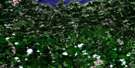
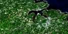
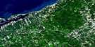
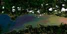
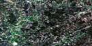
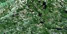
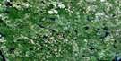
Oxford Satellite Imagery
To view this satellite map, mouse over the air photo on the right.
You can also download this satellite image map for free:
011E12 Oxford high-resolution satellite image map.
Maps for the Oxford aerial map sheet 011E12 at 1:50,000 scale are also available in these versions:
Oxford Surrounding Area Aerial Photo Maps
 |
 |
 |
 |
 |
 |
 |
 |
 |
 |
 |
 |
 |
 |
 |
 |
© Department of Natural Resources Canada. All rights reserved.
Oxford Gazetteer
The following places can be found on satellite image map 011E12 Oxford:
Oxford Satellite Image: Geographical areas
ColchesterCumberland
Oxford Satellite Image: Lakes
Angevine LakeBarber Lake
Bass River Lake
Bear Lake
Big Lake
Black Lake
British Lake
Carter Lake
Chain Lake
Chase Lake
Dead Lake
Dead Lake
Dewar Lake
Dominic Lake
Duck Pond
Folly Lake
Fountain Lake
Goose Pond
Hart Lake
Isaac Lake
Lily Lake
Lily Pond
Little Dead Lake
Little Duck Pond
Little Long Lake
Long Lake
McCormack Lake
McPherson Lake
Moose Lake
Newfound Lake
Park Lake
Poison Lake
Purdy Pond
Rock Lake
Round Lake
Salt Lake
Silica Lake
Simpson Lake
Slack Lake
Slade Lake
Stevens Lake
Sutherland Lake
Trout Pond
Vickery Lake
Weatherhead Lake
Webb Lake
Webbs Lake
West Branch Lake
West Lake
Wigmore Lake
Zollers Pond
Oxford Satellite Image: Mountains
Claremont HillCobequid Mountains
Cross Road Mountain
Folly Mountain
Higgins Mountain
Pigeon Hill
Scotch Hill
Stevens Mountain
Sugarloaf Mountain
Swallow Hill
The Boarsback
Oxford Satellite Image: Major municipal/district area - major agglomerations
ColchesterCumberland
Oxford Satellite Image: Conservation areas
Wentworth Provincial ParkOxford Satellite Image: Rivers
Arsenic BrookAsh Brook
Bass River
Bass River of Five Islands
Beeswanger Brook
Betts Brook
Big Lake Brook
Bigney Brook
Black Brook
Black Brook
Black River
Bulmer Brook
Burntland Brook
Caldwell Brook
Centre Branch Swan Brook
Chain Lake Brook
Chain Lake Stream
Chase Brook
Chase Brook West Branch
Chase Lake Brook
Chisholm Brook
Colonel Brook
Colonels Brook
Conn Brook
Conns Brook
Crowley Brook
Dan Brown Brook
Davidson Brook
Dewar River
Dominic Meadow Brook
Douglas Meadow Brook
Drennan Brook
East Branch
East Branch Folly River
East Branch Wallace River
East Folly River
East Wallace River
Emery Brook
Emery Brook
Emery Brook
Five Islands River
Flemming Brook
Folly River
Fountain Lake Brook
Giles Brook
Gleason Brook
Glenville Brook
Gough Brook
Grant Brook
Great Village River
Griffin Brook
Hart Lake Brook
Harty Brook
Henderson Brook
Higgins Brook
Horse Pasture Brook
Little River
Long Lake Brook
Matheson Brook
McElman Brook
McElmon Brook
McMullen Brook
Mile Brook
Montrose Brook
Mountain Brook
Mountain Brook
Murphy Brook
North Sherman Brook
Otter Brook
Palmer Brook
Pine Brook
Polly Brook
Portapique River
Pugwash River
Racetrack Brook
Ralston Brook
River Philip
River Philip
Roaring River
Roaring River
Rockland Brook
Rockland River
Rushton Brook
Second River
Sherman Brook
Smith Brook
Snider Brook
South Drennan Brook
Spruce Brook
Steepbank Brook
Still Brook
Sugarloaf Brook
Surveyor Brook
Surveyors Brook
Swail Brook
Swan Brook
Teed Brook
Tillit Brook
Tillits Creek
Totten Brook
Treen Brook
Tunnel Brook
Village Brook
Wallace River
Webb Brook
West Branch Economy River
West Branch of River Philip
West Branch River Philip
West Branch Swan Brook
West Branch Wallace River
West Economy River
West River Philip
West Wallace River
Westchester Branch of Wallace River
Whetstone Brook
Wigmore Brook
Wilson Brook
Oxford Satellite Image: River features
Bent Dam PoolChase Gravel Pool
Myatts Bend
Oak Tree Pool
Redmond Pool
Tidd Pool
Oxford Satellite Image: Towns
OxfordOxford Satellite Image: Unincorporated areas
AikensAtkinson
Birchwood
Black River Road
Castlereagh
Claremont
Collingwood Corner
East Hansford
East Wentworth
Farmington
Folly Lake
Folly Lake Station
Glenville
Greenville Station
Hansford
Hartford
Henderson Settlement
Jackson
Jersey
Lake Road
Leroy
Lily
Lower Greenville
Lower Wentworth
Mahoneys Corner
Mattatall Lake
Millvale
New Jersey
North Greenville
Oxford Junction
River Philip
River Philip Centre
Rose
Salt Springs
South Middleboro
South Victoria
Street Ridge
Streets Ridge
Swallow Settlement
Thomson Station
Valley Road
Victoria
Wentworth
Wentworth Centre
Wentworth Station
Wentworth Valley
West Hansford
West Wentworth
Westchester
Westchester Mountain
Westchester Station
Westchester Valley
Williamsdale
Williamsdale East
Windham Hill
Wyvern
Oxford Satellite Image: Low vegetation
Big SwalesDicks Meadows
Dismal Swamp
Dominic Meadow
Douglas Meadow
Emery Meadows
Horse Pasture Meadows
Moose Bog
Thompson Reid Meadow
© Department of Natural Resources Canada. All rights reserved.
011E Related Maps:
011E Truro011E01 Liscomb
011E02 Upper Musquodoboit
011E03 Shubenacadie
011E04 Kennetcook
011E05 Bass River
011E06 Truro
011E07 Hopewell
011E08 Lochaber
011E09 Merigomish
011E10 New Glasgow
011E11 Tatamagouche
011E12 Oxford
011E13 Pugwash
011E14 Malagash
011E15 Pictou Island
011E16 Malignant Cove
